While the takeoff offers Mount Ararat, the landing approach provides Mount Rainier and Puget Sound—two more visually dramatic and accessible features. The approach to Seattle offers superior scenic value with the iconic volcano and complex water geography.
Flown AJI to SEA? Did we get it right?
Flight Path
Ağrı to Seattle is 6,351 miles (10,221 km), a flight of about 11 hours 15 minutes.
Flight path crosses the Black Sea coast near Samsun, then proceeds over the Mediterranean (Cyprus visible), southern Europe (Alps potentially visible in distance), and Atlantic approaches before reaching North American airspace. The North Atlantic crossing dominates the middle 6-7 hours with open ocean. Approaching North America, the Rocky Mountains and then Cascade Range become visible. Puget Sound and the Seattle basin appear during final descent.
Great circle distance and headings ›


Phase by phase
Takeoff from AJI
LEFTLeft side offers views of Mount Ararat (5,137 m), Turkey's most iconic peak, visible during northwestward climb-out. The mountain dominates the landscape immediately west of Ağrı Airport and provides striking visual relief against the Anatolian plateau.
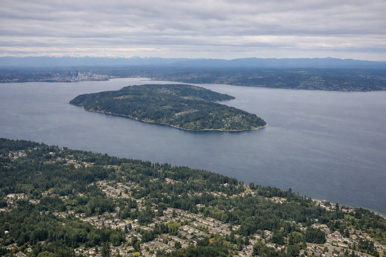
Landing at SEA
RIGHTRight side captures the Cascade Range and Mount Rainier (4,392 m) during descent into Seattle. This snow-capped stratovolcano is visible from 40+ miles away and provides the most dramatic landmark on approach, especially on clear days.
Will your flight be in sunlight?
Pick a date and time in the Sun Map to watch the sun move across your whole flight.
About This Route
Which side of the plane should I sit on flying from Ağrı Airport (AJI) to Seattle Tacoma International (SEA)?
Sit on the Right side of the plane for the best views on flights from Ağrı to Seattle. While the takeoff offers Mount Ararat, the landing approach provides Mount Rainier and Puget Sound—two more visually dramatic and accessible features. The approach to Seattle offers superior scenic value with the iconic volcano and complex water geography.
What can I see during takeoff from Ağrı Airport in Ağrı?
During takeoff from Ağrı Airport (AJI), sit on the Left side for the best views. Left side offers views of Mount Ararat (5,137 m), Turkey's most iconic peak, visible during northwestward climb-out. The mountain dominates the landscape immediately west of Ağrı Airport and provides striking visual relief against the Anatolian plateau. Notable sights include: Mount Ararat, Aras River valley, Anatolian Plateau, Lake Sevan (Armenia, visible at distance).
What can I see when landing at Seattle Tacoma International in Seattle?
When landing at Seattle Tacoma International (SEA), sit on the Right side for the best views. Right side captures the Cascade Range and Mount Rainier (4,392 m) during descent into Seattle. This snow-capped stratovolcano is visible from 40+ miles away and provides the most dramatic landmark on approach, especially on clear days. Notable sights include: Mount Rainier, Cascade Range, Puget Sound, Olympic Mountains.
How long is the flight from Ağrı to Seattle?
The flight from Ağrı Airport (AJI) to Seattle Tacoma International (SEA) takes about 11 hours 15 minutes. The shortest flight path between them is 6,351 miles (10,221 km); winds and air traffic control usually add a few percent.
What does the Ağrı to Seattle flight path pass over?
Flight path crosses the Black Sea coast near Samsun, then proceeds over the Mediterranean (Cyprus visible), southern Europe (Alps potentially visible in distance), and Atlantic approaches before reaching North American airspace. The North Atlantic crossing dominates the middle 6-7 hours with open ocean. Approaching North America, the Rocky Mountains and then Cascade Range become visible. Puget Sound and the Seattle basin appear during final descent.