Auckland to Kerikeri is 131 miles (210 km), a flight of about 50 minutes.
While takeoff offers good views on the right, the landing approach on the left provides superior geography—the Bay of Islands and Kerikeri Inlet are the most visually distinctive features of this short route, and they're best seen from the left side during descent.
Flight Path
The flight path crosses northward over the Kaipara Harbour region and Northland's rural farmland. At cruise altitude (around 15,000 feet), you'll see the transition from Auckland's urban sprawl to increasingly rural terrain, with scattered farmland, small forests, and water features including various inlets and harbours. The Brynderwyn Hills form a low ridge visible to the east of the flight path. The landscape becomes progressively more rural and coastal as you approach Kerikeri.
Great circle distance and headings ›Phase by phase
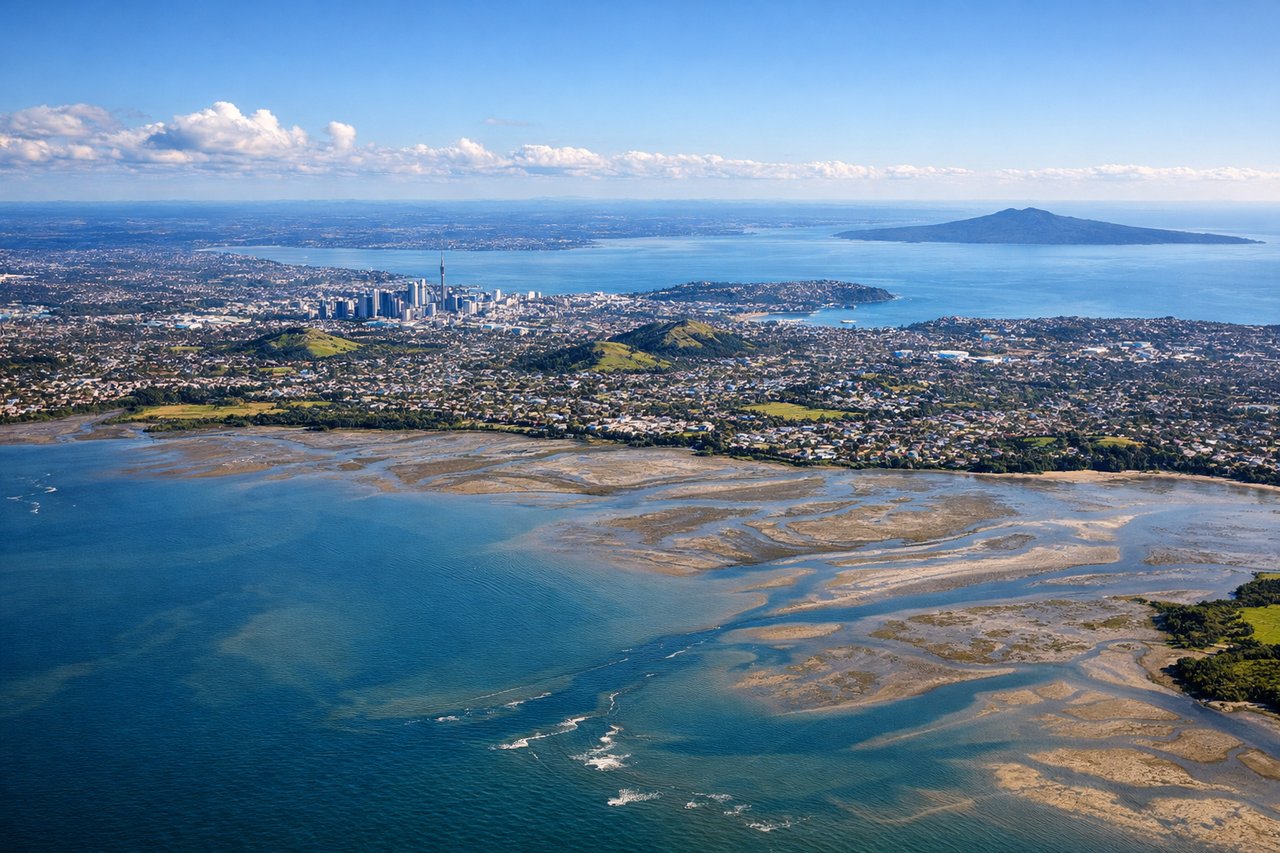
Takeoff from AKL
RIGHTAuckland typically departs from runways 03L/03R (northbound) or 21L/21R (southbound). Right-side seats on northbound departures offer views of the Waitakere Ranges and Tasman Sea immediately after liftoff. Southbound departures from 21L/21R show the Hunua Ranges and farmland to the right.
Landing at KKE
LEFTApproaching Kerikeri from the south (typical approach), left-side seats provide views of the Bay of Islands and the Kerikeri Inlet as you descend. The distinctive water features and surrounding farmland are more prominent on the left during final approach to the runway.
Will your flight be in sunlight?
Pick a date and time in the Sun Map to watch the sun move across your whole flight.
About This Route
Which side of the plane should I sit on flying from Auckland International (AKL) to Kerikeri (KKE)?
Sit on the Left side of the plane for the best views on flights from Auckland to Kerikeri. While takeoff offers good views on the right, the landing approach on the left provides superior geography—the Bay of Islands and Kerikeri Inlet are the most visually distinctive features of this short route, and they're best seen from the left side during descent.
What can I see during takeoff from Auckland International in Auckland?
During takeoff from Auckland International (AKL), sit on the Right side for the best views. Auckland typically departs from runways 03L/03R (northbound) or 21L/21R (southbound). Right-side seats on northbound departures offer views of the Waitakere Ranges and Tasman Sea immediately after liftoff. Southbound departures from 21L/21R show the Hunua Ranges and farmland to the right. Notable sights include: Waitakere Ranges (dark forested ridgeline west of the airport), Tasman Sea (western coastline), Manukau Harbour (southern water body), Auckland urban sprawl (city grid visible below).
What can I see when landing at Kerikeri in Kerikeri?
When landing at Kerikeri (KKE), sit on the Left side for the best views. Approaching Kerikeri from the south (typical approach), left-side seats provide views of the Bay of Islands and the Kerikeri Inlet as you descend. The distinctive water features and surrounding farmland are more prominent on the left during final approach to the runway. Notable sights include: Bay of Islands (large coastal water body with multiple inlets), Kerikeri Inlet (narrower water feature leading to the airfield), Northland farmland and pastures (rolling green terrain), Kerikeri town (small settlement visible near the airport).
How long is the flight from Auckland to Kerikeri?
The flight from Auckland International (AKL) to Kerikeri (KKE) takes about 50 minutes. The shortest flight path between them is 131 miles (210 km); winds and air traffic control usually add a few percent.
What does the Auckland to Kerikeri flight path pass over?
The flight path crosses northward over the Kaipara Harbour region and Northland's rural farmland. At cruise altitude (around 15,000 feet), you'll see the transition from Auckland's urban sprawl to increasingly rural terrain, with scattered farmland, small forests, and water features including various inlets and harbours. The Brynderwyn Hills form a low ridge visible to the east of the flight path. The landscape becomes progressively more rural and coastal as you approach Kerikeri.