While Auckland's takeoff favors the left, the right side wins overall thanks to the dramatic Southern Alps skyline visible during the South Island portion of the cruise and the spectacular Lake Wakatipu and Remarkables scenery on the approach into Queenstown, one of the most scenic landings in commercial aviation.
Flight Path
Cook Strait crossing between the North and South Islands, the Kaikoura coastal mountains, the Canterbury Plains, and the eastern foothills of the Southern Alps as the route curves southwest toward Otago.
Great circle distance and headings ›
.JPG?width=600)

Phase by phase
Takeoff from AKL
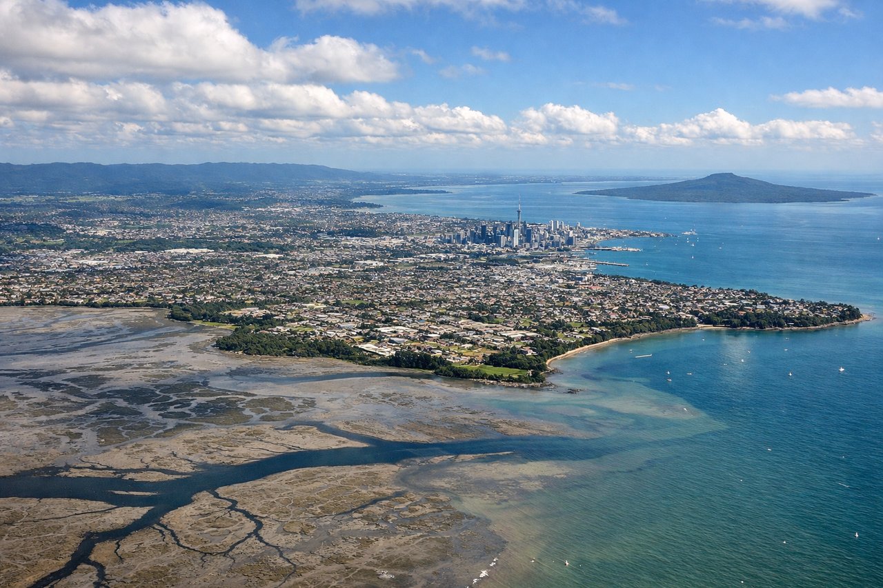
LEFTDeparting AKL on runway 23L, the aircraft climbs southwest over Manukau Harbour before banking south, keeping Auckland's skyline, the Sky Tower, and the volcanic cone of Rangitoto in view on the left as the city recedes. The right side mostly shows the flat, less distinctive Manukau foreshore and Waitakere foothills.
Landing at ZQN
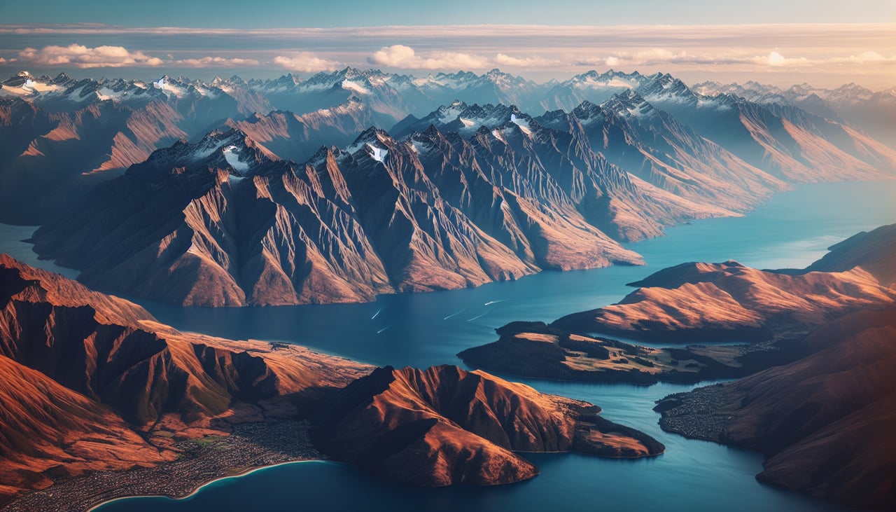
RIGHTThe approach into Queenstown winds through the Wakatipu Basin, and the right side typically faces the turquoise expanse of Lake Wakatipu with the jagged, often snow-dusted peaks of the Remarkables and the Southern Alps rising beyond it. This is one of the most dramatic commercial approaches in the world, with mountains close on both sides but the lake and Remarkables giving the right side the edge.
Landmarks on this routeAll landmarks →
Will your flight be in sunlight?
See exactly which side of the plane gets sun and shade at your departure time.
About This Route
Which side of the plane should I sit on flying from Auckland International (AKL) to Queenstown (ZQN)?
Sit on the Right side of the plane for the best views on flights from Auckland to Queenstown International. While Auckland's takeoff favors the left, the right side wins overall thanks to the dramatic Southern Alps skyline visible during the South Island portion of the cruise and the spectacular Lake Wakatipu and Remarkables scenery on the approach into Queenstown, one of the most scenic landings in commercial aviation.
What can I see during takeoff from Auckland International in Auckland?
During takeoff from Auckland International (AKL), sit on the Left side for the best views. Departing AKL on runway 23L, the aircraft climbs southwest over Manukau Harbour before banking south, keeping Auckland's skyline, the Sky Tower, and the volcanic cone of Rangitoto in view on the left as the city recedes. The right side mostly shows the flat, less distinctive Manukau foreshore and Waitakere foothills. Notable sights include: Auckland CBD skyline and Sky Tower, Rangitoto Island volcanic cone, Manukau Harbour, Waitakere Ranges.
What can I see when landing at Queenstown in Queenstown International?
When landing at Queenstown (ZQN), sit on the Right side for the best views. The approach into Queenstown winds through the Wakatipu Basin, and the right side typically faces the turquoise expanse of Lake Wakatipu with the jagged, often snow-dusted peaks of the Remarkables and the Southern Alps rising beyond it. This is one of the most dramatic commercial approaches in the world, with mountains close on both sides but the lake and Remarkables giving the right side the edge. Notable sights include: Lake Wakatipu, The Remarkables mountain range, Queenstown township on the lakeshore, Coronet Peak/Ben Lomond foothills.
How long is the flight from Auckland to Queenstown International?
The flight from Auckland International (AKL) to Queenstown (ZQN) takes 1h 50m.
What does the Auckland to Queenstown International flight path pass over?
Cook Strait crossing between the North and South Islands, the Kaikoura coastal mountains, the Canterbury Plains, and the eastern foothills of the Southern Alps as the route curves southwest toward Otago.