While takeoff favors the right for archipelago views, the landing approach provides superior geography with the Vistula River valley, Krakow's historic center, and Tatra Mountains all visible on the left. The landing experience outweighs the takeoff advantage.
Flown ARN to KRK? Did we get it right?
Flight Path
Stockholm to Krakow is 665 miles (1,071 km), a flight of about 2 hours 15 minutes.
The flight path crosses the Baltic Sea coast near Gdańsk (visible from either side depending on exact routing), then proceeds south over Polish lowlands. The Vistula River valley becomes increasingly prominent as the aircraft descends toward Krakow, with the river's meanders clearly visible from altitude. The Carpathian Mountains (including the Tatra range) form a distant southern horizon feature during the approach phase. No major mountain ranges are crossed; the terrain is predominantly flat to gently rolling throughout the route.
Great circle distance and headings ›Phase by phase
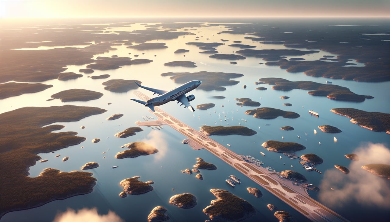
Takeoff from ARN
RIGHTArlanda typically departs to the north or northeast. Right-side seats offer views of Stockholm's archipelago spreading eastward across the Baltic, with the city's urban core visible to the southwest. Left side faces inland forests with less distinctive features.
Landing at KRK
LEFTKrakow's Balice airport typically uses runways aligned roughly east-west. Left-side seats on approach from the northwest provide views of the Vistula River valley, Krakow's Old Town and Wawel Castle on the elevated terrain, and the Tatra Mountains as a distant southern backdrop. Right side faces less distinctive suburban sprawl.
Will your flight be in sunlight?
Pick a date and time in the Sun Map to watch the sun move across your whole flight.
About This Route
Which side of the plane should I sit on flying from Arlanda (ARN) to Balice Jp Ii International Airport (KRK)?
Sit on the Left side of the plane for the best views on flights from Stockholm to Krakow. While takeoff favors the right for archipelago views, the landing approach provides superior geography with the Vistula River valley, Krakow's historic center, and Tatra Mountains all visible on the left. The landing experience outweighs the takeoff advantage.
What can I see during takeoff from Arlanda in Stockholm?
During takeoff from Arlanda (ARN), sit on the Right side for the best views. Arlanda typically departs to the north or northeast. Right-side seats offer views of Stockholm's archipelago spreading eastward across the Baltic, with the city's urban core visible to the southwest. Left side faces inland forests with less distinctive features. Notable sights include: Stockholm city center and Riddarfjärden inlet, Vaxholm island and inner archipelago waters, Mälaren lake to the west, Baltic Sea horizon to the east.
What can I see when landing at Balice Jp Ii International Airport in Krakow?
When landing at Balice Jp Ii International Airport (KRK), sit on the Left side for the best views. Krakow's Balice airport typically uses runways aligned roughly east-west. Left-side seats on approach from the northwest provide views of the Vistula River valley, Krakow's Old Town and Wawel Castle on the elevated terrain, and the Tatra Mountains as a distant southern backdrop. Right side faces less distinctive suburban sprawl. Notable sights include: Vistula River winding through the valley, Krakow Old Town and Wawel Castle on elevated terrain, Tatra Mountains as distant southern peaks, suburban development and airport approach corridor.
How long is the flight from Stockholm to Krakow?
The flight from Arlanda (ARN) to Balice Jp Ii International Airport (KRK) takes about 2 hours 15 minutes. The shortest flight path between them is 665 miles (1,071 km); winds and air traffic control usually add a few percent.
What does the Stockholm to Krakow flight path pass over?
The flight path crosses the Baltic Sea coast near Gdańsk (visible from either side depending on exact routing), then proceeds south over Polish lowlands. The Vistula River valley becomes increasingly prominent as the aircraft descends toward Krakow, with the river's meanders clearly visible from altitude. The Carpathian Mountains (including the Tatra range) form a distant southern horizon feature during the approach phase. No major mountain ranges are crossed; the terrain is predominantly flat to gently rolling throughout the route.