Atlanta to Vancouver is 2,244 miles (3,612 km), a flight of about 5 hours 5 minutes.
The long cruise segment crosses the Northern Rockies near Glacier National Park and the Canadian Rockies around Banff and the Columbia Mountains, all lying to the south and visible from the left side for a sustained stretch of the flight. This extended mountain scenery outweighs the right side's advantage, which is concentrated mainly in the shorter takeoff and landing phases.
Flight Path
Great Plains of Nebraska and South Dakota, the Black Hills, and the Northern Rocky Mountains near Glacier National Park along the Montana-Alberta border
Great circle distance and headings ›.jpeg?width=600)

.jpg?width=600)

Phase by phase

Takeoff from ATL
RIGHTATL departures typically roll west then turn right (north) toward the Vancouver routing, swinging downtown Atlanta's skyline and the wooded Piedmont terrain into view on the right side. The left side only shows flat, unremarkable Georgia countryside during this turn.
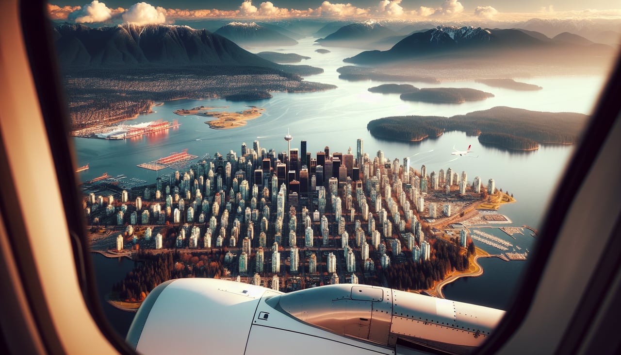
Landing at YVR
RIGHTYVR's prevailing westerly landings bring aircraft in from the east on a westbound final, putting downtown Vancouver, Burrard Inlet, and the North Shore Mountains squarely on the right side. The left side instead looks over the flatter Fraser River delta and Richmond suburbs.
Landmarks on this routeAll landmarks →
Will your flight be in sunlight?
Pick a date and time in the Sun Map to watch the sun move across your whole flight.
About This Route
Which side of the plane should I sit on flying from The William B Hartsfield Atlanta International (ATL) to Vancouver International (YVR)?
Sit on the Left side of the plane for the best views on flights from Atlanta to Vancouver. The long cruise segment crosses the Northern Rockies near Glacier National Park and the Canadian Rockies around Banff and the Columbia Mountains, all lying to the south and visible from the left side for a sustained stretch of the flight. This extended mountain scenery outweighs the right side's advantage, which is concentrated mainly in the shorter takeoff and landing phases.
What can I see during takeoff from The William B Hartsfield Atlanta International in Atlanta?
During takeoff from The William B Hartsfield Atlanta International (ATL), sit on the Right side for the best views. ATL departures typically roll west then turn right (north) toward the Vancouver routing, swinging downtown Atlanta's skyline and the wooded Piedmont terrain into view on the right side. The left side only shows flat, unremarkable Georgia countryside during this turn. Notable sights include: Downtown Atlanta skyline, Piedmont forest/suburbs, Chattahoochee River.
What can I see when landing at Vancouver International in Vancouver?
When landing at Vancouver International (YVR), sit on the Right side for the best views. YVR's prevailing westerly landings bring aircraft in from the east on a westbound final, putting downtown Vancouver, Burrard Inlet, and the North Shore Mountains squarely on the right side. The left side instead looks over the flatter Fraser River delta and Richmond suburbs. Notable sights include: Downtown Vancouver skyline, Burrard Inlet, Grouse Mountain and Cypress Mountain, Stanley Park.
How long is the flight from Atlanta to Vancouver?
The flight from The William B Hartsfield Atlanta International (ATL) to Vancouver International (YVR) takes about 5 hours 5 minutes. The shortest flight path between them is 2,244 miles (3,612 km); winds and air traffic control usually add a few percent.
What does the Atlanta to Vancouver flight path pass over?
Great Plains of Nebraska and South Dakota, the Black Hills, and the Northern Rocky Mountains near Glacier National Park along the Montana-Alberta border