While takeoff offers Andean foothills on the left, the landing approach on the right provides more dramatic and varied scenery—the western Andes escarpment, river valley, and the striking transition to Lima's coastal plain and Pacific Ocean make the right side the stronger choice overall.
Flown AUC to LIM? Did we get it right?
Flight Path
Arauca to Lima is 1,390 miles (2,237 km), a flight of about 3 hours 20 minutes.
The flight path crosses the high Andes plateau (Altiplano region) at approximately 15,000-18,000 feet, passing over the Cordillera Occidental with snow-capped peaks visible on clear days. The Magdalena River valley and Cauca River basin are crossed during the southwestern leg. Approaching Peru, the terrain transitions from high plateau to the western escarpment of the Andes, with the Mantaro River valley visible before descent toward the coastal plain.
Great circle distance and headings ›Phase by phase
Takeoff from AUC
LEFTClimbing southwest from Arauca, the left side offers views of the eastern foothills of the Colombian Andes as the aircraft gains altitude. The right side faces the flat Llanos plains with minimal visual interest.
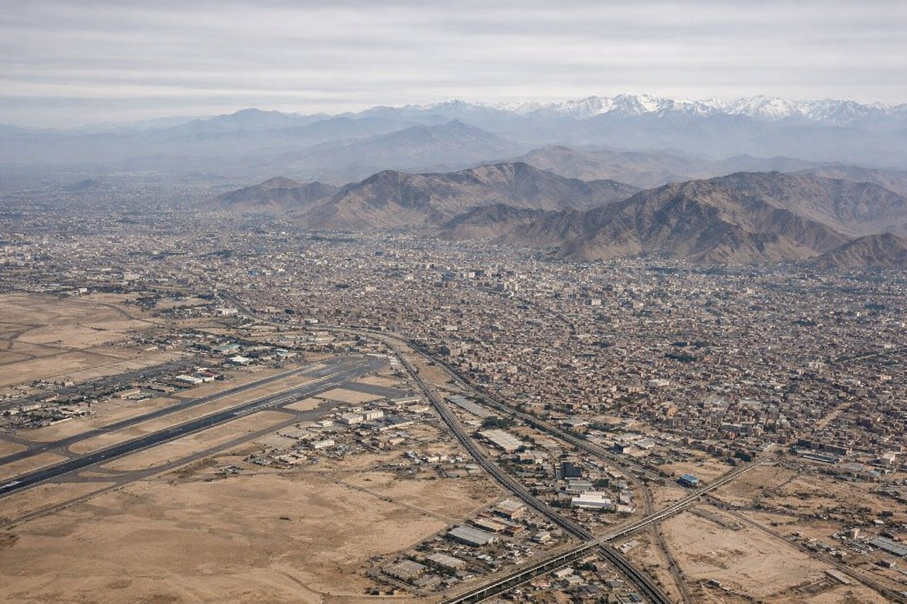
Landing at LIM
RIGHTDescending toward Lima from the northeast, the right side provides views of the Andes' western escarpment and the Pacific coastal plain. The left side faces inland terrain with less dramatic scenery during final approach.
Will your flight be in sunlight?
Pick a date and time in the Sun Map to watch the sun move across your whole flight.
About This Route
Which side of the plane should I sit on flying from Santiago Perez (AUC) to Jorge Chávez International Airport (LIM)?
Sit on the Right side of the plane for the best views on flights from Arauca to Lima. While takeoff offers Andean foothills on the left, the landing approach on the right provides more dramatic and varied scenery—the western Andes escarpment, river valley, and the striking transition to Lima's coastal plain and Pacific Ocean make the right side the stronger choice overall.
What can I see during takeoff from Santiago Perez in Arauca?
During takeoff from Santiago Perez (AUC), sit on the Left side for the best views. Climbing southwest from Arauca, the left side offers views of the eastern foothills of the Colombian Andes as the aircraft gains altitude. The right side faces the flat Llanos plains with minimal visual interest. Notable sights include: Eastern Cordillera foothills, Arauca River valley, transition from savanna to mountain terrain.
What can I see when landing at Jorge Chávez International Airport in Lima?
When landing at Jorge Chávez International Airport (LIM), sit on the Right side for the best views. Descending toward Lima from the northeast, the right side provides views of the Andes' western escarpment and the Pacific coastal plain. The left side faces inland terrain with less dramatic scenery during final approach. Notable sights include: Western Cordillera peaks, Rimac River valley, Lima coastal plain and Pacific Ocean, Callao port area.
How long is the flight from Arauca to Lima?
The flight from Santiago Perez (AUC) to Jorge Chávez International Airport (LIM) takes about 3 hours 20 minutes. The shortest flight path between them is 1,390 miles (2,237 km); winds and air traffic control usually add a few percent.
What does the Arauca to Lima flight path pass over?
The flight path crosses the high Andes plateau (Altiplano region) at approximately 15,000-18,000 feet, passing over the Cordillera Occidental with snow-capped peaks visible on clear days. The Magdalena River valley and Cauca River basin are crossed during the southwestern leg. Approaching Peru, the terrain transitions from high plateau to the western escarpment of the Andes, with the Mantaro River valley visible before descent toward the coastal plain.