Bacolod to Cebu is 73 miles (117 km), a flight of about 40 minutes.
The right side offers the flight's two most distinctive features — Mt. Kanlaon's volcanic profile on departure and Cebu's mountainous interior on arrival — while the left side spends most of the short flight over open water with little terrain to see.
Flight Path
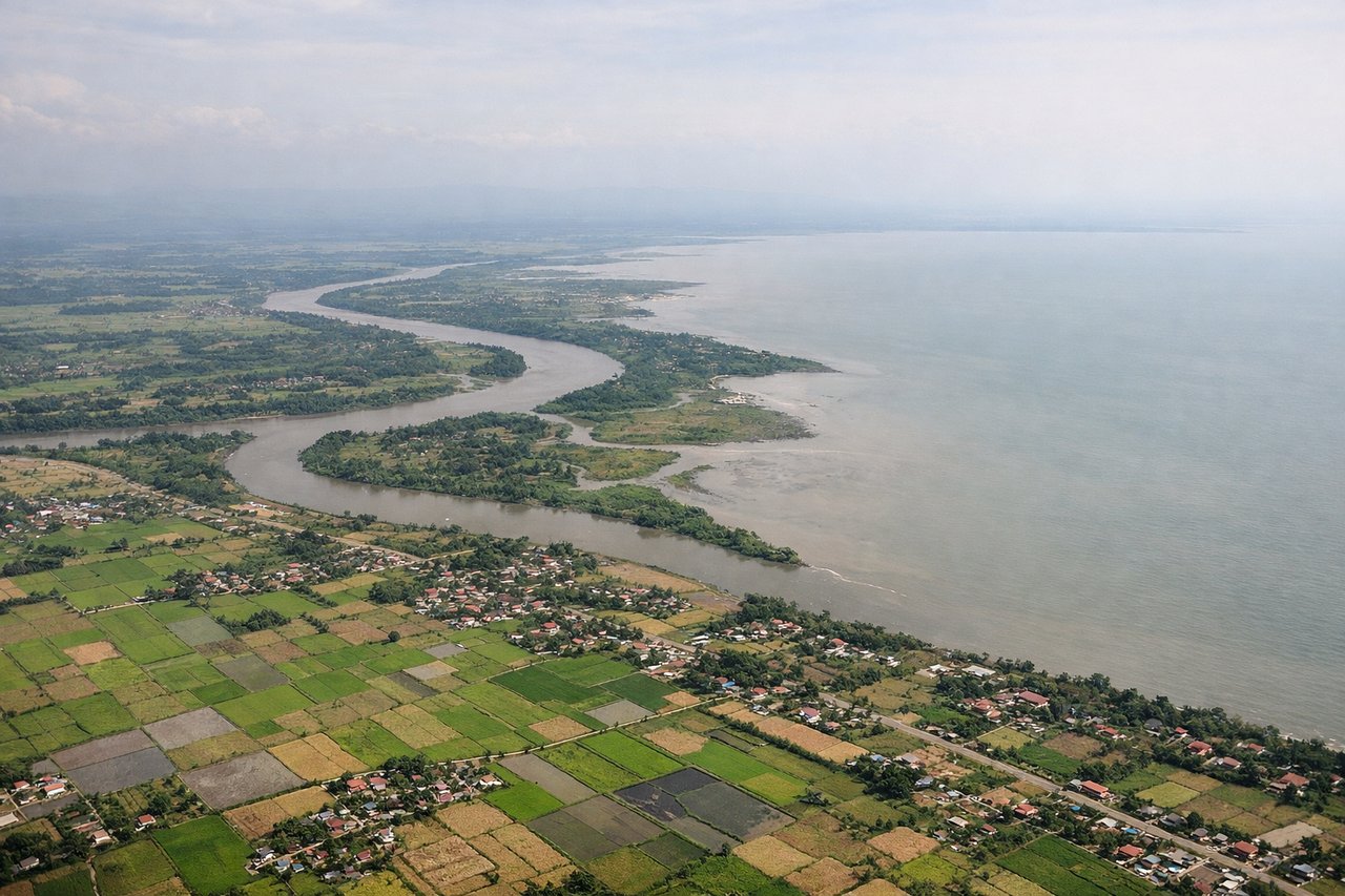
Tañon Strait separating Negros and Cebu islands, with Mt. Kanlaon visible receding behind on the Negros side and Cebu's central mountain ridge rising ahead
Great circle distance and headings ›Phase by phase
Takeoff from BCD
RIGHTAs the aircraft climbs out of Bacolod-Silay and banks onto course for Cebu, the turn brings Negros Island's volcanic spine into view on the right, dominated by Mt. Kanlaon's distinctive crater rim. The left side mostly shows flat sugarcane plains and the open Panay Gulf, which is far less dramatic.
Landing at CEB
RIGHTOn the descent into Mactan-Cebu, the flight path crosses Cebu Island's limestone central ridge, keeping the rugged mountain spine visible on the right through most of the approach. The left side mainly faces open water toward the Camotes Sea with little terrain interest until Cebu City's skyline briefly appears late in the turn.
Will your flight be in sunlight?
Pick a date and time in the Sun Map to watch the sun move across your whole flight.
About This Route
Which side of the plane should I sit on flying from Bacolod-Silay International Airport (BCD) to Mactan Cebu International Airport (CEB)?
Sit on the Right side of the plane for the best views on flights from Bacolod to Cebu. The right side offers the flight's two most distinctive features — Mt. Kanlaon's volcanic profile on departure and Cebu's mountainous interior on arrival — while the left side spends most of the short flight over open water with little terrain to see.
What can I see during takeoff from Bacolod-Silay International Airport in Bacolod?
During takeoff from Bacolod-Silay International Airport (BCD), sit on the Right side for the best views. As the aircraft climbs out of Bacolod-Silay and banks onto course for Cebu, the turn brings Negros Island's volcanic spine into view on the right, dominated by Mt. Kanlaon's distinctive crater rim. The left side mostly shows flat sugarcane plains and the open Panay Gulf, which is far less dramatic. Notable sights include: Mt. Kanlaon volcano, Negros central mountain range, Bacolod's sugarcane lowlands.
What can I see when landing at Mactan Cebu International Airport in Cebu?
When landing at Mactan Cebu International Airport (CEB), sit on the Right side for the best views. On the descent into Mactan-Cebu, the flight path crosses Cebu Island's limestone central ridge, keeping the rugged mountain spine visible on the right through most of the approach. The left side mainly faces open water toward the Camotes Sea with little terrain interest until Cebu City's skyline briefly appears late in the turn. Notable sights include: Cebu central mountain ridge, Mactan Channel, Cebu City skyline (late approach), Camotes Sea.
How long is the flight from Bacolod to Cebu?
The flight from Bacolod-Silay International Airport (BCD) to Mactan Cebu International Airport (CEB) takes about 40 minutes. The shortest flight path between them is 73 miles (117 km); winds and air traffic control usually add a few percent.
What does the Bacolod to Cebu flight path pass over?
Tañon Strait separating Negros and Cebu islands, with Mt. Kanlaon visible receding behind on the Negros side and Cebu's central mountain ridge rising ahead