The right side offers better continuity of scenery across the flight — northern Bengaluru suburbs at takeoff, glimpses of Western Ghats peaks like Kudremukh during the brief cruise, and a dramatic descent over the Ghats' escarpment into Mangalore's coastal plain and river delta.
Flown BLR to IXE? Did we get it right?
Flight Path
Bangalore to Mangalore is 190 miles (307 km), a flight of about 1 hour 5 minutes.
Western Ghats mountain range, Kudremukh peak area, Bhadra river valley, Chikmagalur hill country
Great circle distance and headings ›Phase by phase
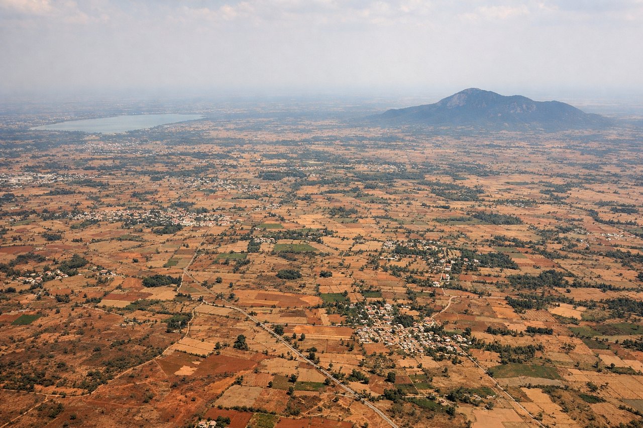
Takeoff from BLR
RIGHTAs the aircraft climbs out of Bengaluru heading west, the right (north) side offers a view back over the city's northern suburbs and reservoirs before the terrain rises toward the Western Ghats foothills. The left side mostly shows flat Deccan plateau farmland with less visual interest.
Landing at IXE
RIGHTOn approach into Mangalore, the right side gives passengers a clear view of the Western Ghats' forested escarpment falling away to the coastal plain, followed by glimpses of the Netravati river system and the tabletop plateau the airport sits on. The left side mainly shows the flatter southern coastal plain with less topographic contrast.
Will your flight be in sunlight?
Pick a date and time in the Sun Map to watch the sun move across your whole flight.
About This Route
Which side of the plane should I sit on flying from Kempegowda International Airport Bengaluru (BLR) to Mangalore (IXE)?
Sit on the Right side of the plane for the best views on flights from Bangalore to Mangalore. The right side offers better continuity of scenery across the flight — northern Bengaluru suburbs at takeoff, glimpses of Western Ghats peaks like Kudremukh during the brief cruise, and a dramatic descent over the Ghats' escarpment into Mangalore's coastal plain and river delta.
What can I see during takeoff from Kempegowda International Airport Bengaluru in Bangalore?
During takeoff from Kempegowda International Airport Bengaluru (BLR), sit on the Right side for the best views. As the aircraft climbs out of Bengaluru heading west, the right (north) side offers a view back over the city's northern suburbs and reservoirs before the terrain rises toward the Western Ghats foothills. The left side mostly shows flat Deccan plateau farmland with less visual interest. Notable sights include: Bengaluru northern suburbs, Nandi Hills silhouette in the distance, Deccan plateau farmland.
What can I see when landing at Mangalore in Mangalore?
When landing at Mangalore (IXE), sit on the Right side for the best views. On approach into Mangalore, the right side gives passengers a clear view of the Western Ghats' forested escarpment falling away to the coastal plain, followed by glimpses of the Netravati river system and the tabletop plateau the airport sits on. The left side mainly shows the flatter southern coastal plain with less topographic contrast. Notable sights include: Western Ghats escarpment, Netravati river delta, Mangalore's tabletop plateau airport, coastal palm groves.
How long is the flight from Bangalore to Mangalore?
The flight from Kempegowda International Airport Bengaluru (BLR) to Mangalore (IXE) takes about 1 hour 5 minutes. The shortest flight path between them is 190 miles (307 km); winds and air traffic control usually add a few percent.
What does the Bangalore to Mangalore flight path pass over?
Western Ghats mountain range, Kudremukh peak area, Bhadra river valley, Chikmagalur hill country