The right side delivers the only real terrain variety on this short flight — the Deccan plateau's hills near departure and Kerala's lush backwater coastline near arrival — while the left side stays flat and monotonous throughout.
Flown BLR to TRV? Did we get it right?
Flight Path
Bangalore to Trivandrum is 330 miles (531 km), a flight of about 1 hour 20 minutes.
Western Ghats foothills near the Karnataka-Kerala border, including forested ridges around Wayanad and the Nilgiri range visible in the distance to the west
Great circle distance and headings ›Phase by phase
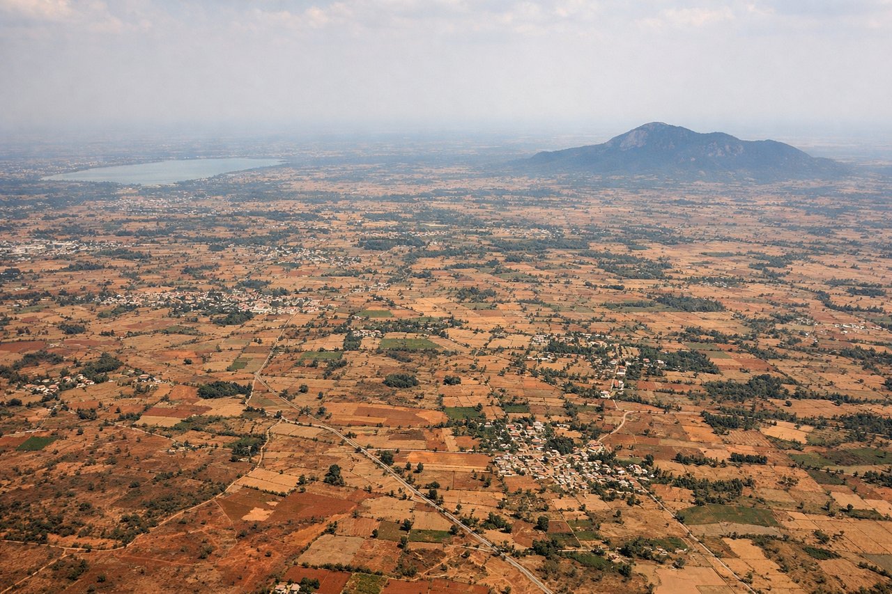
Takeoff from BLR
RIGHTDeparting BLR toward the south, the right (west) side catches the edge of Bangalore's sprawl giving way to the Deccan plateau and the first rolling hills of the Karnataka highlands, while the left side only shows flat agricultural plains toward Tamil Nadu with little variation.

Landing at TRV
RIGHTOn approach to TRV via runway 32, the aircraft swings in from the southeast, and the right side offers clear views of Kerala's dense coconut-palm coastline, lagoons, and the Arabian Sea, while the left side mostly shows inland hill terrain with less visual contrast.
Will your flight be in sunlight?
Pick a date and time in the Sun Map to watch the sun move across your whole flight.
About This Route
Which side of the plane should I sit on flying from Kempegowda International Airport Bengaluru (BLR) to Thiruvananthapuram International (TRV)?
Sit on the Right side of the plane for the best views on flights from Bangalore to Trivandrum. The right side delivers the only real terrain variety on this short flight — the Deccan plateau's hills near departure and Kerala's lush backwater coastline near arrival — while the left side stays flat and monotonous throughout.
What can I see during takeoff from Kempegowda International Airport Bengaluru in Bangalore?
During takeoff from Kempegowda International Airport Bengaluru (BLR), sit on the Right side for the best views. Departing BLR toward the south, the right (west) side catches the edge of Bangalore's sprawl giving way to the Deccan plateau and the first rolling hills of the Karnataka highlands, while the left side only shows flat agricultural plains toward Tamil Nadu with little variation. Notable sights include: Bangalore urban sprawl, Bannerghatta forest belt, Deccan plateau farmland, distant Nandi Hills.
What can I see when landing at Thiruvananthapuram International in Trivandrum?
When landing at Thiruvananthapuram International (TRV), sit on the Right side for the best views. On approach to TRV via runway 32, the aircraft swings in from the southeast, and the right side offers clear views of Kerala's dense coconut-palm coastline, lagoons, and the Arabian Sea, while the left side mostly shows inland hill terrain with less visual contrast. Notable sights include: Kerala backwater lagoons, Arabian Sea coastline, coconut palm groves, Thiruvananthapuram cityscape.
How long is the flight from Bangalore to Trivandrum?
The flight from Kempegowda International Airport Bengaluru (BLR) to Thiruvananthapuram International (TRV) takes about 1 hour 20 minutes. The shortest flight path between them is 330 miles (531 km); winds and air traffic control usually add a few percent.
What does the Bangalore to Trivandrum flight path pass over?
Western Ghats foothills near the Karnataka-Kerala border, including forested ridges around Wayanad and the Nilgiri range visible in the distance to the west