Although most of this transpacific flight is open ocean with little to see from either side, the right side captures the two most scenic moments of the journey: Moreton Bay's islands on departure and the Coast Mountains with downtown Vancouver on arrival.
Flight Path
The flight path curves northeast then north across the open Pacific, passing well east of Papua New Guinea and the Solomon Islands before arcing over the vast North Pacific near the Aleutian Islands region prior to descending toward the British Columbia coast.
Great circle distance and headings ›Phase by phase
Takeoff from BNE
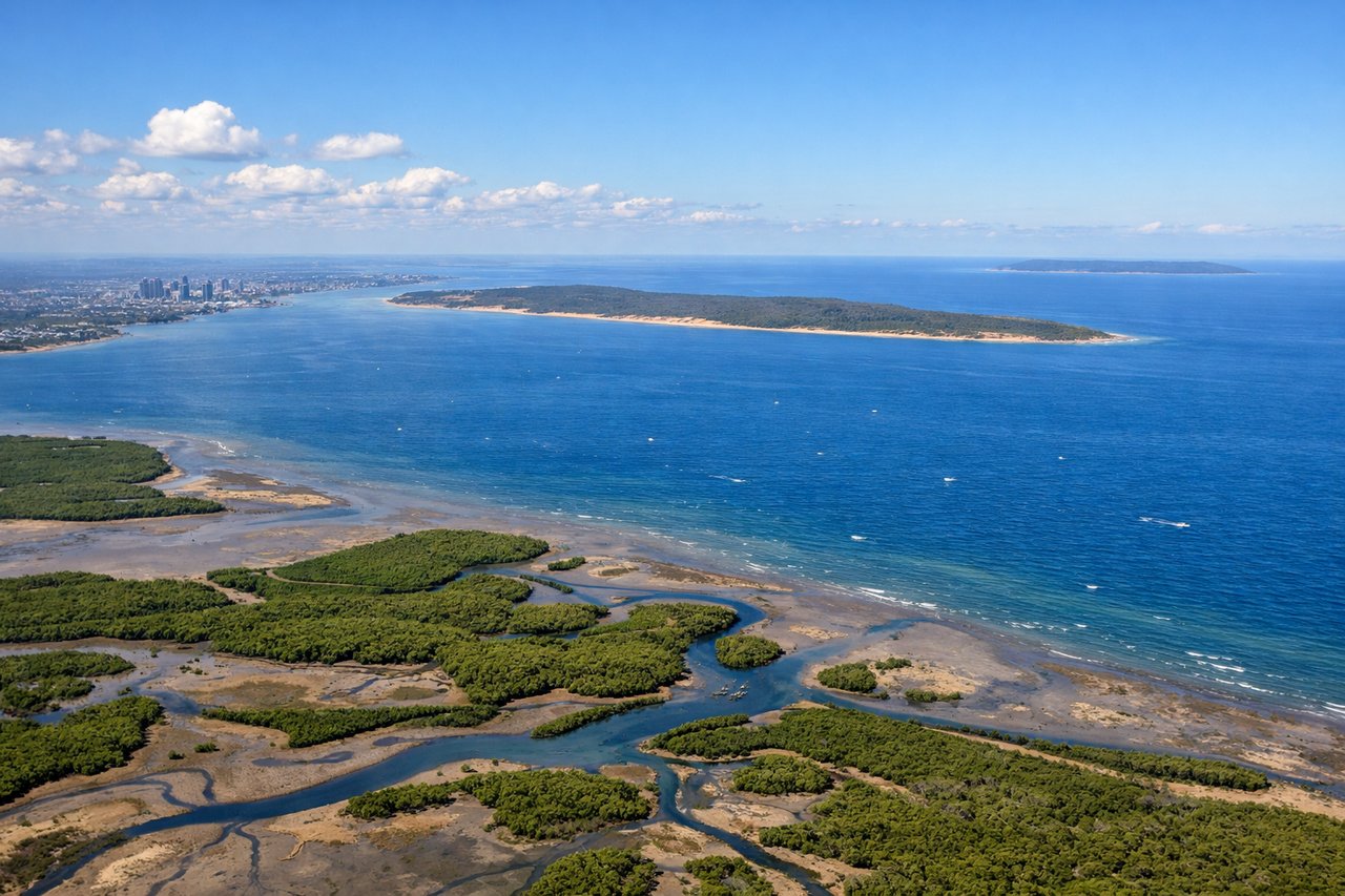
RIGHTDeparting BNE on the northbound runway before turning onto the northeast track toward the Pacific puts Moreton Bay on the right side, with its islands and sandbanks clearly visible during the climb. The left side only offers a brief look at the Brisbane CBD and the low hills of the D'Aguilar Range before everything gives way to farmland and haze.
Landing at YVR
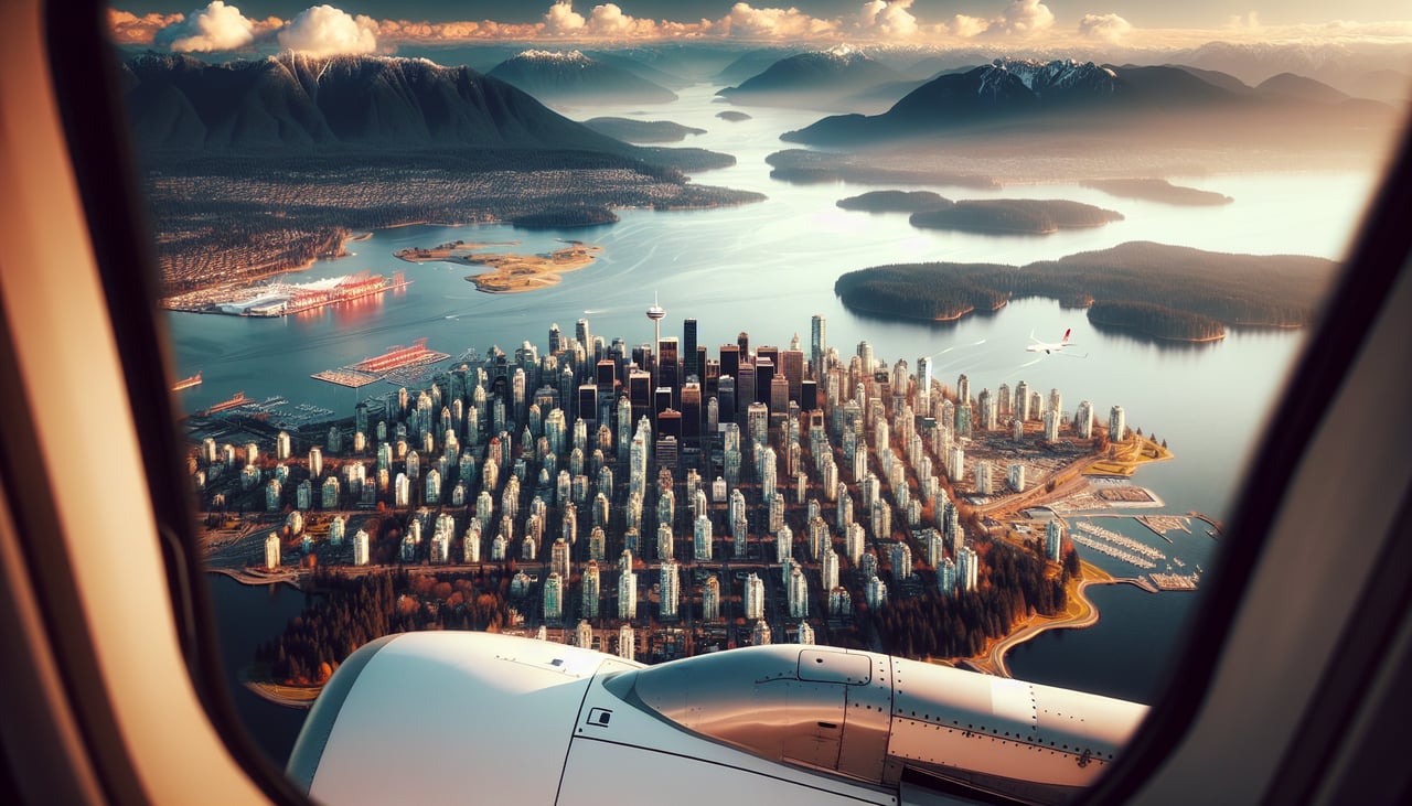
RIGHTOn the typical westward landing into YVR, the approach tracks in from the east over the Fraser Valley, putting the North Shore's Coast Mountains and the downtown Vancouver skyline on the right side of the aircraft. The left side instead faces south toward flatter delta farmland and the distant, less distinct shapes of the Gulf Islands.
Landmarks on this routeAll landmarks →
Will your flight be in sunlight?
See exactly which side of the plane gets sun and shade at your departure time.
About This Route
Which side of the plane should I sit on flying from Brisbane International (BNE) to Vancouver International (YVR)?
Sit on the Right side of the plane for the best views on flights from Brisbane to Vancouver. Although most of this transpacific flight is open ocean with little to see from either side, the right side captures the two most scenic moments of the journey: Moreton Bay's islands on departure and the Coast Mountains with downtown Vancouver on arrival.
What can I see during takeoff from Brisbane International in Brisbane?
During takeoff from Brisbane International (BNE), sit on the Right side for the best views. Departing BNE on the northbound runway before turning onto the northeast track toward the Pacific puts Moreton Bay on the right side, with its islands and sandbanks clearly visible during the climb. The left side only offers a brief look at the Brisbane CBD and the low hills of the D'Aguilar Range before everything gives way to farmland and haze. Notable sights include: Moreton Bay, Moreton Island's sand dunes, North Stradbroke Island, mouth of the Brisbane River.
What can I see when landing at Vancouver International in Vancouver?
When landing at Vancouver International (YVR), sit on the Right side for the best views. On the typical westward landing into YVR, the approach tracks in from the east over the Fraser Valley, putting the North Shore's Coast Mountains and the downtown Vancouver skyline on the right side of the aircraft. The left side instead faces south toward flatter delta farmland and the distant, less distinct shapes of the Gulf Islands. Notable sights include: Coast Mountains (Grouse, Seymour, Cypress), Burrard Inlet, downtown Vancouver skyline, Fraser River delta.
How long is the flight from Brisbane to Vancouver?
The flight from Brisbane International (BNE) to Vancouver International (YVR) takes 13h 55m.
What does the Brisbane to Vancouver flight path pass over?
The flight path curves northeast then north across the open Pacific, passing well east of Papua New Guinea and the Solomon Islands before arcing over the vast North Pacific near the Aleutian Islands region prior to descending toward the British Columbia coast.