The right side wins because it captures Vancouver's mountain-and-harbor departure and Brisbane's coastal, island-studded arrival, while the middle 12+ hours of the flight are open Pacific Ocean with no landmarks on either side.
Flight Path
The route crosses thousands of miles of open Pacific Ocean, passing well east of Hawaii and north of Fiji, with no landmasses visible from cruising altitude for most of the flight.
Great circle distance and headings ›Phase by phase
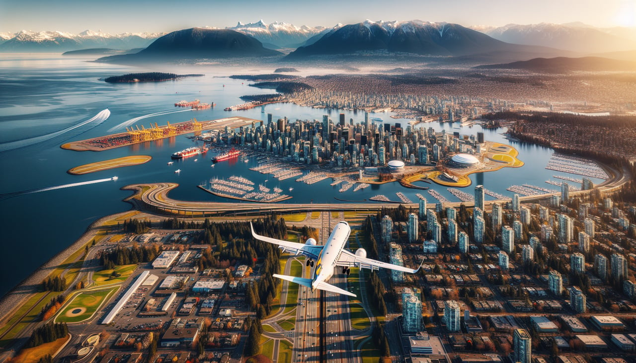
Takeoff from YVR
RIGHTDeparting YVR on runway 26, the aircraft climbs west over the Strait of Georgia before curving south toward the Pacific. On the right (north) side, passengers get a clear view of Vancouver's downtown skyline, the North Shore, and the snow-capped Coast Mountains rising sharply behind the city.
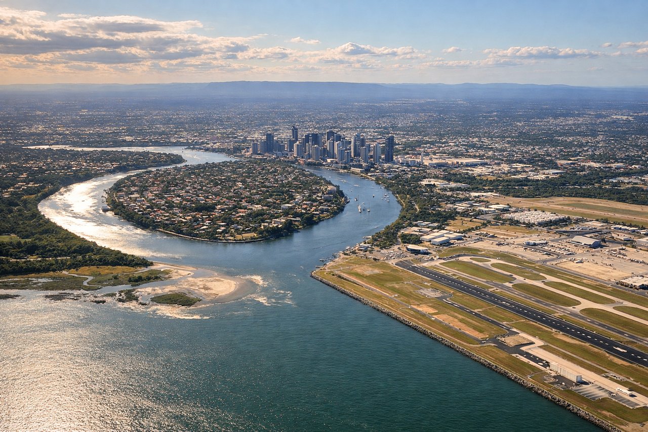
Landing at BNE
RIGHTArriving into BNE from the north-northeast over the Pacific, the descent path typically tracks down the Sunshine Coast before turning onto final approach. Passengers on the right side see the coastline, Moreton Bay's islands, and the D'Aguilar Range hills inland as the aircraft lines up for the north-south runway.
Landmarks on this routeAll landmarks →
Will your flight be in sunlight?
See exactly which side of the plane gets sun and shade at your departure time.
About This Route
Which side of the plane should I sit on flying from Vancouver International (YVR) to Brisbane International (BNE)?
Sit on the Right side of the plane for the best views on flights from Vancouver to Brisbane. The right side wins because it captures Vancouver's mountain-and-harbor departure and Brisbane's coastal, island-studded arrival, while the middle 12+ hours of the flight are open Pacific Ocean with no landmarks on either side.
What can I see during takeoff from Vancouver International in Vancouver?
During takeoff from Vancouver International (YVR), sit on the Right side for the best views. Departing YVR on runway 26, the aircraft climbs west over the Strait of Georgia before curving south toward the Pacific. On the right (north) side, passengers get a clear view of Vancouver's downtown skyline, the North Shore, and the snow-capped Coast Mountains rising sharply behind the city. Notable sights include: Downtown Vancouver skyline, North Shore Mountains (Grouse, Seymour), Strait of Georgia, Coast Mountains foothills.
What can I see when landing at Brisbane International in Brisbane?
When landing at Brisbane International (BNE), sit on the Right side for the best views. Arriving into BNE from the north-northeast over the Pacific, the descent path typically tracks down the Sunshine Coast before turning onto final approach. Passengers on the right side see the coastline, Moreton Bay's islands, and the D'Aguilar Range hills inland as the aircraft lines up for the north-south runway. Notable sights include: Sunshine Coast beaches, Moreton Bay and Moreton Island, D'Aguilar Range foothills, Brisbane River mouth.
How long is the flight from Vancouver to Brisbane?
The flight from Vancouver International (YVR) to Brisbane International (BNE) takes 14h 25m.
What does the Vancouver to Brisbane flight path pass over?
The route crosses thousands of miles of open Pacific Ocean, passing well east of Hawaii and north of Fiji, with no landmasses visible from cruising altitude for most of the flight.