While takeoff favors the right for Andean views, the landing experience on the left is superior—the Río de la Plata estuary is a dramatic geographic feature that dominates the approach. The left side captures the transition from pampas to estuary, which is the defining geography of the Buenos Aires region.
Flown BOG to EZE? Did we get it right?
Flight Path
Bogota to Buenos Aires is 2,914 miles (4,689 km), a flight of about 5 hours.
The flight path crosses the Andes at the Paso de San Martín (approximately 13,000 ft elevation) in the central cordillera near the Chile-Argentina border. Cruising altitude typically 35,000-37,000 feet. Notable features include: the high Andes peaks (Aconcagua region visible to the south on clear days), the transition from the western Andean slopes to the eastern Argentine piedmont, the Cuyo region's flat terrain with scattered mountain ranges (Sierras de Córdoba visible to the east), and finally the Buenos Aires pampas—an endless flat agricultural landscape with virtually no elevation change for the final 300 miles of approach.
Great circle distance and headings ›


Phase by phase
Takeoff from BOG
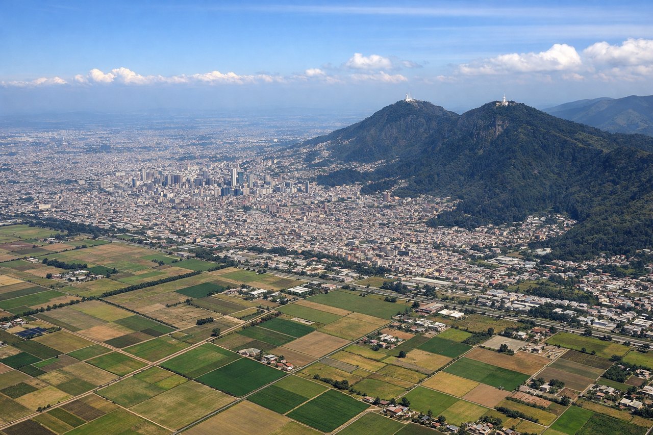
RIGHTBogota's primary runways (01L/R and 19L/R) typically depart eastbound or westbound depending on wind. Right-side seats offer views of the Cordillera Oriental (Eastern Range of the Colombian Andes) rising immediately east of the airport at 8,000-10,000 feet elevation. The western view shows the Sabana de Bogota plateau dropping away, which is less dramatic.

Landing at EZE
LEFTEzeiza's primary runway (09/27) typically handles approaches from the northwest or southeast depending on wind. Left-side seats on a standard southeast approach (Runway 09) offer views of the Río de la Plata estuary and the Buenos Aires pampas. Right-side approaches show only inland flat terrain. The estuary's wide brown waters and the contrast with the pampas make the left side more visually interesting.
Will your flight be in sunlight?
Pick a date and time in the Sun Map to watch the sun move across your whole flight.
About This Route
Which side of the plane should I sit on flying from Eldorado International (BOG) to Ezeiza Ministro Pistarini (EZE)?
Sit on the Left side of the plane for the best views on flights from Bogota to Buenos Aires. While takeoff favors the right for Andean views, the landing experience on the left is superior—the Río de la Plata estuary is a dramatic geographic feature that dominates the approach. The left side captures the transition from pampas to estuary, which is the defining geography of the Buenos Aires region.
What can I see during takeoff from Eldorado International in Bogota?
During takeoff from Eldorado International (BOG), sit on the Right side for the best views. Bogota's primary runways (01L/R and 19L/R) typically depart eastbound or westbound depending on wind. Right-side seats offer views of the Cordillera Oriental (Eastern Range of the Colombian Andes) rising immediately east of the airport at 8,000-10,000 feet elevation. The western view shows the Sabana de Bogota plateau dropping away, which is less dramatic. Notable sights include: Cordillera Oriental peaks (Monserrate visible at 10,341 ft on clear days), Sabana de Bogota plateau edge, Río Magdalena valley to the west, urban sprawl of Bogota district.
What can I see when landing at Ezeiza Ministro Pistarini in Buenos Aires?
When landing at Ezeiza Ministro Pistarini (EZE), sit on the Left side for the best views. Ezeiza's primary runway (09/27) typically handles approaches from the northwest or southeast depending on wind. Left-side seats on a standard southeast approach (Runway 09) offer views of the Río de la Plata estuary and the Buenos Aires pampas. Right-side approaches show only inland flat terrain. The estuary's wide brown waters and the contrast with the pampas make the left side more visually interesting. Notable sights include: Río de la Plata estuary (muddy brown waters), Buenos Aires pampas (flat agricultural grid), Ezeiza district urban development, Río Salado confluence.
How long is the flight from Bogota to Buenos Aires?
The flight from Eldorado International (BOG) to Ezeiza Ministro Pistarini (EZE) takes about 5 hours. The shortest flight path between them is 2,914 miles (4,689 km); winds and air traffic control usually add a few percent.
What does the Bogota to Buenos Aires flight path pass over?
The flight path crosses the Andes at the Paso de San Martín (approximately 13,000 ft elevation) in the central cordillera near the Chile-Argentina border. Cruising altitude typically 35,000-37,000 feet. Notable features include: the high Andes peaks (Aconcagua region visible to the south on clear days), the transition from the western Andean slopes to the eastern Argentine piedmont, the Cuyo region's flat terrain with scattered mountain ranges (Sierras de Córdoba visible to the east), and finally the Buenos Aires pampas—an endless flat agricultural landscape with virtually no elevation change for the final 300 miles of approach.