Burlington to Philadelphia is 838 miles (1,348 km), a flight of about 2 hours 20 minutes.
Both sides score equally on the cruise phase (flat Midwest-to-Mid-Atlantic corridor with minimal dramatic terrain), but the right side wins on the combined strength of the takeoff (Des Moines River valley topography) and landing (Delaware River and Philadelphia skyline). The left side offers only farmland throughout.
Flight Path
Ohio River valley near Cincinnati, Appalachian foothills in eastern Ohio and West Virginia, Allegheny Mountains in Pennsylvania, Susquehanna River valley in central Pennsylvania
Great circle distance and headings ›
.jpeg?width=600)
Phase by phase
Takeoff from BRL
RIGHTRight side captures the Des Moines River valley and rolling terrain south of Burlington during northbound departure (Runway 18), offering slightly more topographic variation than the flat farmland to the left.
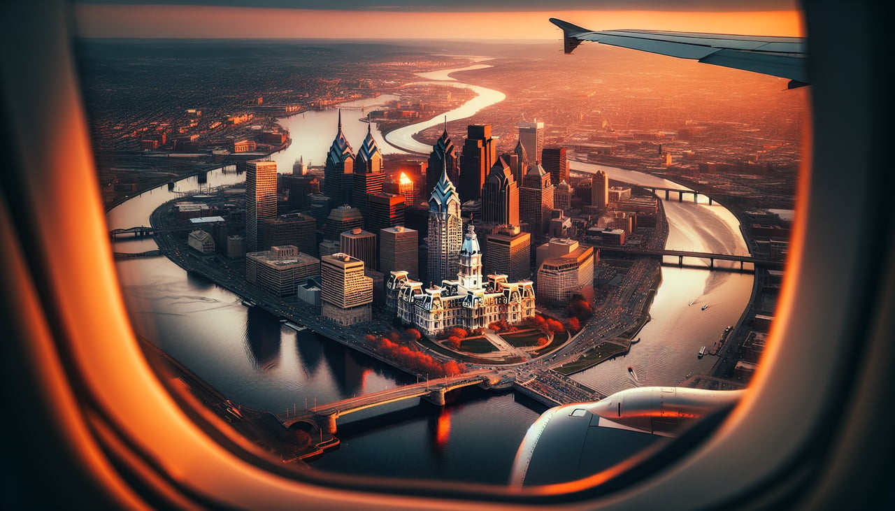
Landing at PHL
RIGHTRight side (north) during westbound approach to PHL offers views of the Delaware River corridor, suburban Philadelphia sprawl, and the city skyline as the aircraft descends toward Runway 27L/27R. Left side sees only inland Pennsylvania farmland and forest.
Landmarks on this routeAll landmarks →
Will your flight be in sunlight?
Pick a date and time in the Sun Map to watch the sun move across your whole flight.
About This Route
Which side of the plane should I sit on flying from Southeast Iowa Regional Airport (BRL) to Philadelphia International (PHL)?
Sit on the Right side of the plane for the best views on flights from Burlington to Philadelphia. Both sides score equally on the cruise phase (flat Midwest-to-Mid-Atlantic corridor with minimal dramatic terrain), but the right side wins on the combined strength of the takeoff (Des Moines River valley topography) and landing (Delaware River and Philadelphia skyline). The left side offers only farmland throughout.
What can I see during takeoff from Southeast Iowa Regional Airport in Burlington?
During takeoff from Southeast Iowa Regional Airport (BRL), sit on the Right side for the best views. Right side captures the Des Moines River valley and rolling terrain south of Burlington during northbound departure (Runway 18), offering slightly more topographic variation than the flat farmland to the left. Notable sights include: Des Moines River valley, rolling Loess Hills terrain, Burlington urban area receding behind.
What can I see when landing at Philadelphia International in Philadelphia?
When landing at Philadelphia International (PHL), sit on the Right side for the best views. Right side (north) during westbound approach to PHL offers views of the Delaware River corridor, suburban Philadelphia sprawl, and the city skyline as the aircraft descends toward Runway 27L/27R. Left side sees only inland Pennsylvania farmland and forest. Notable sights include: Delaware River, Philadelphia skyline (Center City towers visible), suburban development along the river, Schuylkill River confluence.
How long is the flight from Burlington to Philadelphia?
The flight from Southeast Iowa Regional Airport (BRL) to Philadelphia International (PHL) takes about 2 hours 20 minutes. The shortest flight path between them is 838 miles (1,348 km); winds and air traffic control usually add a few percent.
What does the Burlington to Philadelphia flight path pass over?
Ohio River valley near Cincinnati, Appalachian foothills in eastern Ohio and West Virginia, Allegheny Mountains in Pennsylvania, Susquehanna River valley in central Pennsylvania