Left side scores higher due to superior takeoff scenery (Danube, Little Carpathians, Bratislava landmarks) and the dramatic Carpathian foothills during cruise. Although right side offers a scenic landing approach over the Adriatic and islands, the cruise segment over the Balkans interior is less visually distinctive than the Alpine-influenced terrain on the left. Left provides better overall variety and landmark density across the full flight.
Flown BTS to SPU? Did we get it right?
Flight Path
Bratislava to Split is 323 miles (520 km), a flight of about 1 hour 15 minutes.
Velebit Mountains (limestone range visible as a ridge line in central Croatia), Plitvice Lakes region (forested plateau), transition from Central European plains to Mediterranean Adriatic coast, Sava River valley (visible during cruise), Dinaric Alps foothills
Great circle distance and headings ›Phase by phase
Takeoff from BTS
LEFTLeft side captures Bratislava's Danube River valley and the Little Carpathians immediately after departure, with urban sprawl and river meanders visible during climb-out. Right side faces open plains with minimal immediate landmarks.
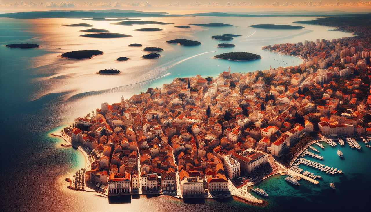
Landing at SPU
RIGHTRight side offers the dramatic Adriatic coastline approach, with Split's Dalmatian islands, rocky peninsulas, and the city's harbor visible during descent. Left side shows inland Balkans with less distinctive features during the approach corridor.
Will your flight be in sunlight?
Pick a date and time in the Sun Map to watch the sun move across your whole flight.
About This Route
Which side of the plane should I sit on flying from M R Stefanik (BTS) to Split (SPU)?
Sit on the Left side of the plane for the best views on flights from Bratislava to Split. Left side scores higher due to superior takeoff scenery (Danube, Little Carpathians, Bratislava landmarks) and the dramatic Carpathian foothills during cruise. Although right side offers a scenic landing approach over the Adriatic and islands, the cruise segment over the Balkans interior is less visually distinctive than the Alpine-influenced terrain on the left. Left provides better overall variety and landmark density across the full flight.
What can I see during takeoff from M R Stefanik in Bratislava?
During takeoff from M R Stefanik (BTS), sit on the Left side for the best views. Left side captures Bratislava's Danube River valley and the Little Carpathians immediately after departure, with urban sprawl and river meanders visible during climb-out. Right side faces open plains with minimal immediate landmarks. Notable sights include: Danube River (winding through Bratislava), Little Carpathians (forested ridge to north), Bratislava city center and castle, Devín Castle ruins at the Austrian border.
What can I see when landing at Split in Split?
When landing at Split (SPU), sit on the Right side for the best views. Right side offers the dramatic Adriatic coastline approach, with Split's Dalmatian islands, rocky peninsulas, and the city's harbor visible during descent. Left side shows inland Balkans with less distinctive features during the approach corridor. Notable sights include: Dalmatian Islands (Brač, Hvar, Vis archipelago), Split harbor and Diocletian's Palace waterfront, Adriatic Sea with turquoise shallows, Marjan Peninsula (forested headland).
How long is the flight from Bratislava to Split?
The flight from M R Stefanik (BTS) to Split (SPU) takes about 1 hour 15 minutes. The shortest flight path between them is 323 miles (520 km); winds and air traffic control usually add a few percent.
What does the Bratislava to Split flight path pass over?
Velebit Mountains (limestone range visible as a ridge line in central Croatia), Plitvice Lakes region (forested plateau), transition from Central European plains to Mediterranean Adriatic coast, Sava River valley (visible during cruise), Dinaric Alps foothills