Takeoff scenery from the Dolomites is more dramatic and visually distinctive than landing views. The dramatic limestone peaks and Alpine terrain provide more striking photography than the suburban approach to London.
Flown BZO to LGW? Did we get it right?
Flight Path
Bolzano to London is 615 miles (990 km), a flight of about 2 hours 15 minutes.
Swiss Alps (Mont Blanc massif visible to the west around midpoint), Lake Geneva (Lac Léman) to the northwest, Jura Mountains forming a ridge across eastern France, English Channel crossing with French coast visible before crossing into UK airspace, North Downs of southern England appearing as you approach UK
Great circle distance and headings ›


Phase by phase
Takeoff from BZO
RIGHTRight side offers immediate views of the Dolomites as you climb out northeastward from Bolzano. The dramatic limestone peaks rise directly to your right, creating a striking backdrop during the initial climb phase.
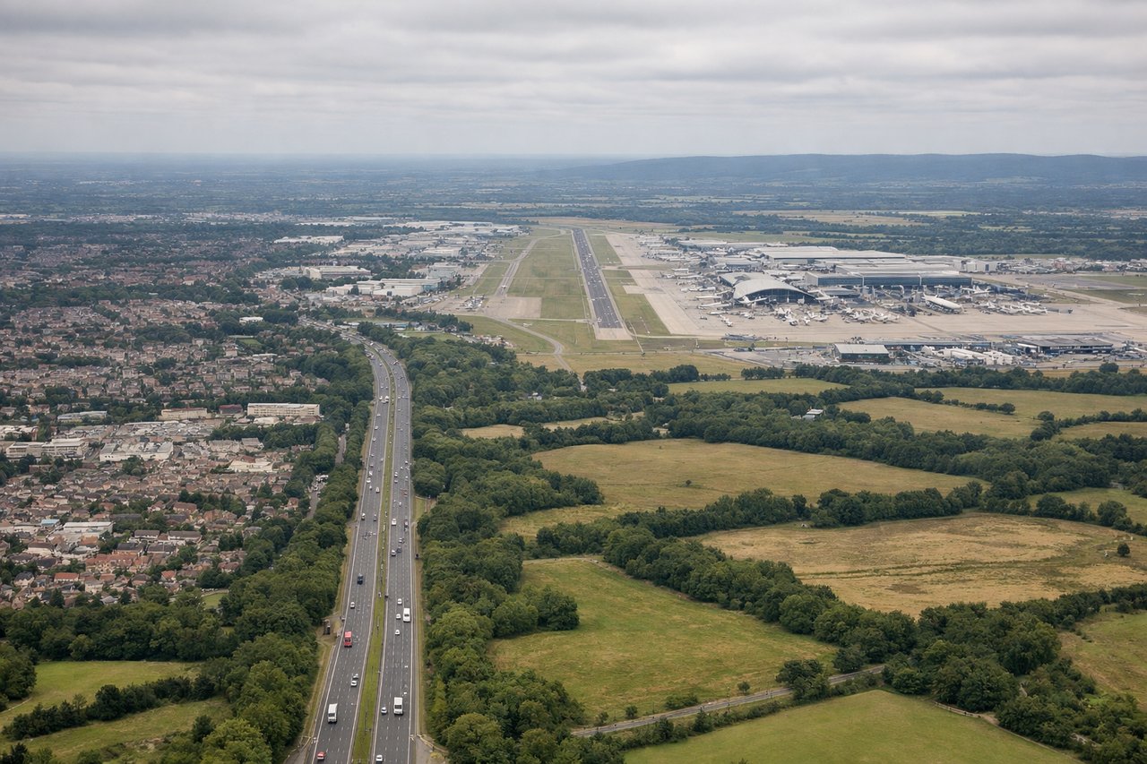
Landing at LGW
LEFTLeft side provides views of the Thames estuary, London's urban sprawl, and the South Downs as you descend toward Gatwick from the south. You'll see the distinctive geography of Greater London and the green belt clearly.
Will your flight be in sunlight?
Pick a date and time in the Sun Map to watch the sun move across your whole flight.
About This Route
Which side of the plane should I sit on flying from Bolzano (BZO) to Gatwick (LGW)?
Sit on the Right side of the plane for the best views on flights from Bolzano to London. Takeoff scenery from the Dolomites is more dramatic and visually distinctive than landing views. The dramatic limestone peaks and Alpine terrain provide more striking photography than the suburban approach to London.
What can I see during takeoff from Bolzano in Bolzano?
During takeoff from Bolzano (BZO), sit on the Right side for the best views. Right side offers immediate views of the Dolomites as you climb out northeastward from Bolzano. The dramatic limestone peaks rise directly to your right, creating a striking backdrop during the initial climb phase. Notable sights include: Dolomites (Tre Cime di Lavaredo peaks visible), Adige River valley below, Lake Sorapis to the northeast, Alpine foothills extending toward Austria.
What can I see when landing at Gatwick in London?
When landing at Gatwick (LGW), sit on the Left side for the best views. Left side provides views of the Thames estuary, London's urban sprawl, and the South Downs as you descend toward Gatwick from the south. You'll see the distinctive geography of Greater London and the green belt clearly. Notable sights include: Thames estuary and river bends, Greater London urban area (visible as grey-brown sprawl), South Downs ridge to the south, Gatwick Airport runways and surrounding Surrey countryside.
How long is the flight from Bolzano to London?
The flight from Bolzano (BZO) to Gatwick (LGW) takes about 2 hours 15 minutes. The shortest flight path between them is 615 miles (990 km); winds and air traffic control usually add a few percent.
What does the Bolzano to London flight path pass over?
Swiss Alps (Mont Blanc massif visible to the west around midpoint), Lake Geneva (Lac Léman) to the northwest, Jura Mountains forming a ridge across eastern France, English Channel crossing with French coast visible before crossing into UK airspace, North Downs of southern England appearing as you approach UK