Right-side seats capture the most dramatic scenery: the Southern Alps during takeoff are more visually striking than the Tararua Range during landing, and the Canterbury Plains offer sustained interest during climb-out. While left offers good landing views, the takeoff advantage is stronger.
Flown CHC to PMR? Did we get it right?
Flight Path
Christchurch to Palmerston North is 270 miles (435 km), a flight of about 50 minutes.
Waikato River valley, King Country farmland, Ruapehu and Tongariro volcanic peaks visible to the west (weather permitting), transition from Canterbury Plains through Waikato basin to Manawatū lowlands
Great circle distance and headings ›Phase by phase
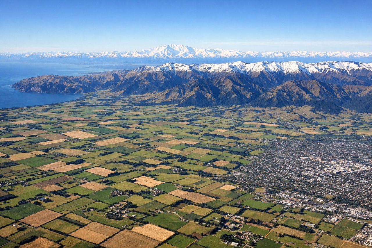
Takeoff from CHC
RIGHTRight-side seats offer views of the Southern Alps and Canterbury Plains as the aircraft climbs northwestward. The mountain range dominates the western horizon during initial climb, and you'll see the braided river systems of the Canterbury region spreading across the plains below.
Landing at PMR
LEFTLeft-side seats provide excellent views of the Tararua Range and Manawatū River valley during descent into Palmerston North. The mountain range forms a dramatic backdrop to the east, and the river's winding course through the valley is clearly visible during final approach.
Will your flight be in sunlight?
Pick a date and time in the Sun Map to watch the sun move across your whole flight.
About This Route
Which side of the plane should I sit on flying from Christchurch International (CHC) to Palmerston North (PMR)?
Sit on the Right side of the plane for the best views on flights from Christchurch to Palmerston North. Right-side seats capture the most dramatic scenery: the Southern Alps during takeoff are more visually striking than the Tararua Range during landing, and the Canterbury Plains offer sustained interest during climb-out. While left offers good landing views, the takeoff advantage is stronger.
What can I see during takeoff from Christchurch International in Christchurch?
During takeoff from Christchurch International (CHC), sit on the Right side for the best views. Right-side seats offer views of the Southern Alps and Canterbury Plains as the aircraft climbs northwestward. The mountain range dominates the western horizon during initial climb, and you'll see the braided river systems of the Canterbury region spreading across the plains below. Notable sights include: Southern Alps (Mount Cook visible on clear days), Canterbury Plains, Waimakariri River system, Banks Peninsula to the southeast.
What can I see when landing at Palmerston North in Palmerston North?
When landing at Palmerston North (PMR), sit on the Left side for the best views. Left-side seats provide excellent views of the Tararua Range and Manawatū River valley during descent into Palmerston North. The mountain range forms a dramatic backdrop to the east, and the river's winding course through the valley is clearly visible during final approach. Notable sights include: Tararua Range, Manawatū River, Palmerston North city and surrounding farmland, Rangitikei River to the north.
How long is the flight from Christchurch to Palmerston North?
The flight from Christchurch International (CHC) to Palmerston North (PMR) takes about 50 minutes. The shortest flight path between them is 270 miles (435 km); winds and air traffic control usually add a few percent.
What does the Christchurch to Palmerston North flight path pass over?
Waikato River valley, King Country farmland, Ruapehu and Tongariro volcanic peaks visible to the west (weather permitting), transition from Canterbury Plains through Waikato basin to Manawatū lowlands