Right-side seats capture the most dramatic scenery: the Cordillera Occidental during takeoff provides immediate visual impact, and the flight path northeastward keeps the Andes ranges visible along the left horizon for most of the journey, while right seats face the more dynamic terrain transitions.
Flown CLO to BOG? Did we get it right?
Flight Path
Cali to Bogota is 174 miles (279 km), a flight of about 1 hour 10 minutes.
The flight climbs northeast from Cali through the Cauca River valley, crossing the Cordillera Occidental's crest around 20 minutes into the flight. The aircraft then traverses the inter-Andean valley (Cauca Valley proper) at cruise altitude, with the Cordillera Central visible to the east and the Cordillera Occidental receding to the west. Around the 40-minute mark, the terrain begins rising noticeably as the aircraft approaches the Sabana de Bogotá. The Río Magdalena valley remains visible to the west throughout much of the cruise phase. Descent begins over the western foothills of the Cordillera Oriental, with Bogotá's plateau becoming visible approximately 15 minutes before landing.
Great circle distance and headings ›

Phase by phase
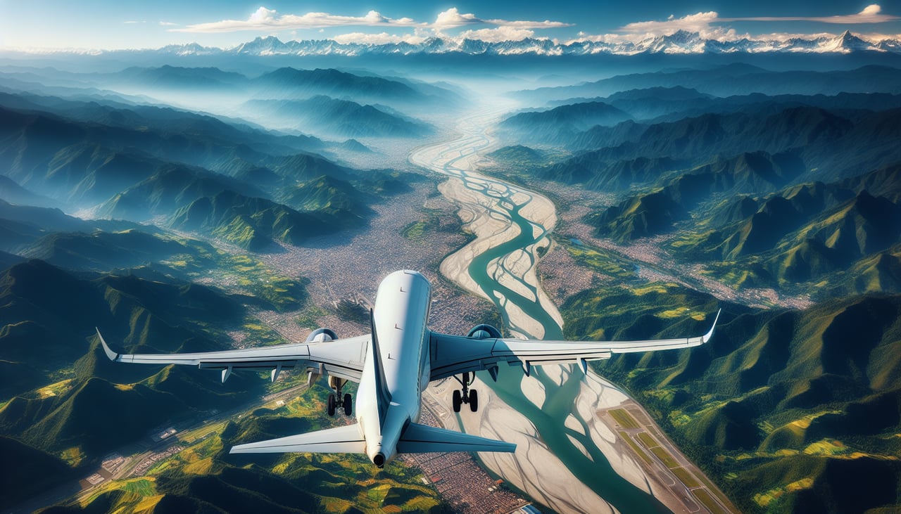
Takeoff from CLO
RIGHTClimbing northeast from Cali, right-side seats face the Cordillera Occidental (Western Range) of the Colombian Andes. This dramatic escarpment rises directly along the flight path and provides immediate, striking views of steep terrain and valleys.
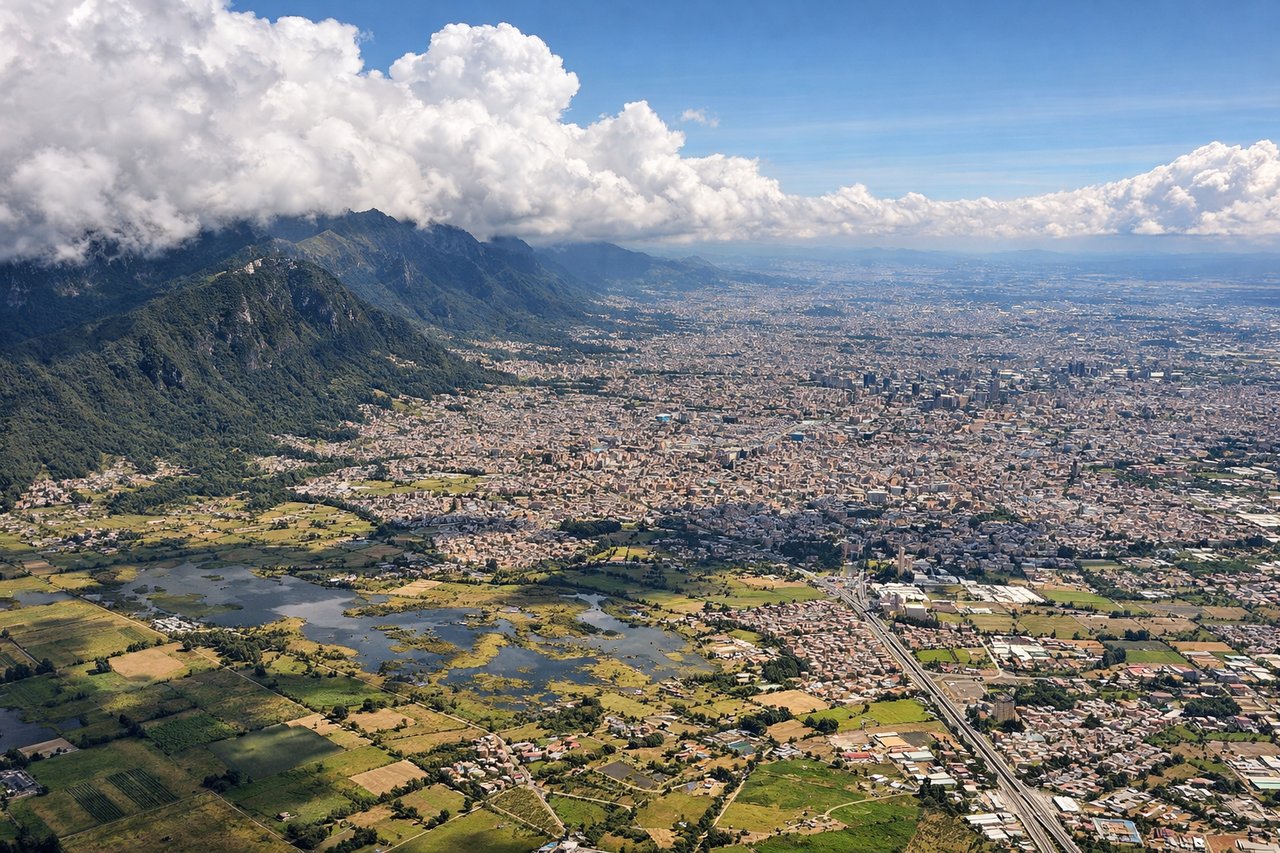
Landing at BOG
LEFTDescending into Bogotá from the southwest, left-side seats face the Cordillera Oriental (Eastern Range) and the high plateau where Bogotá sits at 2,640 meters. The approach reveals the dramatic transition from lower valleys to the elevated Sabana de Bogotá, with the city's urban grid becoming visible against the mountain backdrop.
Will your flight be in sunlight?
Pick a date and time in the Sun Map to watch the sun move across your whole flight.
About This Route
Which side of the plane should I sit on flying from Alfonso Bonilla Aragon International (CLO) to Eldorado International (BOG)?
Sit on the Right side of the plane for the best views on flights from Cali to Bogota. Right-side seats capture the most dramatic scenery: the Cordillera Occidental during takeoff provides immediate visual impact, and the flight path northeastward keeps the Andes ranges visible along the left horizon for most of the journey, while right seats face the more dynamic terrain transitions.
What can I see during takeoff from Alfonso Bonilla Aragon International in Cali?
During takeoff from Alfonso Bonilla Aragon International (CLO), sit on the Right side for the best views. Climbing northeast from Cali, right-side seats face the Cordillera Occidental (Western Range) of the Colombian Andes. This dramatic escarpment rises directly along the flight path and provides immediate, striking views of steep terrain and valleys. Notable sights include: Cordillera Occidental (Western Andes range), Cauca River valley below, Cali urban sprawl receding westward, foothills transitioning to high peaks.
What can I see when landing at Eldorado International in Bogota?
When landing at Eldorado International (BOG), sit on the Left side for the best views. Descending into Bogotá from the southwest, left-side seats face the Cordillera Oriental (Eastern Range) and the high plateau where Bogotá sits at 2,640 meters. The approach reveals the dramatic transition from lower valleys to the elevated Sabana de Bogotá, with the city's urban grid becoming visible against the mountain backdrop. Notable sights include: Cordillera Oriental (Eastern Andes), Sabana de Bogotá plateau, Bogotá city grid and urban sprawl, Río Magdalena valley to the west.
How long is the flight from Cali to Bogota?
The flight from Alfonso Bonilla Aragon International (CLO) to Eldorado International (BOG) takes about 1 hour 10 minutes. The shortest flight path between them is 174 miles (279 km); winds and air traffic control usually add a few percent.
What does the Cali to Bogota flight path pass over?
The flight climbs northeast from Cali through the Cauca River valley, crossing the Cordillera Occidental's crest around 20 minutes into the flight. The aircraft then traverses the inter-Andean valley (Cauca Valley proper) at cruise altitude, with the Cordillera Central visible to the east and the Cordillera Occidental receding to the west. Around the 40-minute mark, the terrain begins rising noticeably as the aircraft approaches the Sabana de Bogotá. The Río Magdalena valley remains visible to the west throughout much of the cruise phase. Descent begins over the western foothills of the Cordillera Oriental, with Bogotá's plateau becoming visible approximately 15 minutes before landing.