The right side offers coastal and urban scenery on both ends of the flight—Colombo's harbor at departure and Mumbai's skyline and coastline at arrival—while the left side faces mostly featureless open ocean for the bulk of the flight.
Flown CMB to BOM? Did we get it right?
Flight Path
Colombo to Bombay is 948 miles (1,526 km), a flight of about 2 hours 10 minutes.
Open Laccadive Sea and Arabian Sea with no landmarks visible; the route stays well offshore of India's southwestern coast until final descent toward Mumbai.
Great circle distance and headings ›

Phase by phase
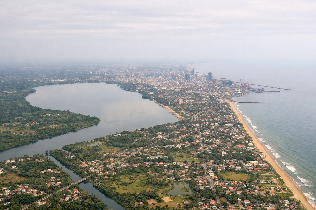
Takeoff from CMB
RIGHTDeparting CMB, the right side offers views of Colombo's coastline, the city's harbor, and Sri Lanka's lush western lowlands as the aircraft climbs and turns northwest. The left side quickly shows only open Indian Ocean.
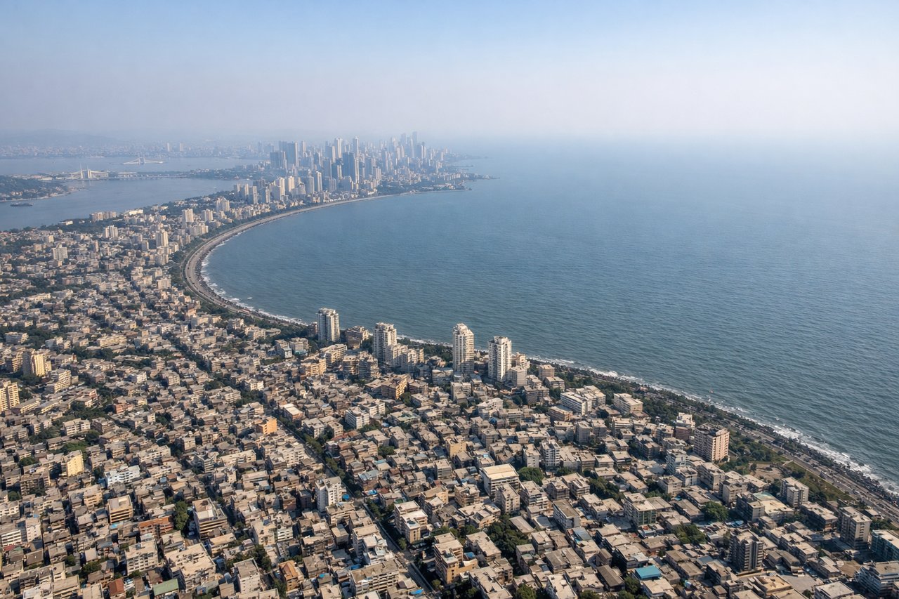
Landing at BOM
RIGHTOn approach into BOM from the south, the right side reveals the Konkan coastline, Mumbai's dense skyline, and the natural harbor with its islands as the aircraft descends over Mumbai's western suburbs.
Will your flight be in sunlight?
Pick a date and time in the Sun Map to watch the sun move across your whole flight.
About This Route
Which side of the plane should I sit on flying from Bandaranaike International (CMB) to Chhatrapati Shivaji International (BOM)?
Sit on the Right side of the plane for the best views on flights from Colombo to Bombay. The right side offers coastal and urban scenery on both ends of the flight—Colombo's harbor at departure and Mumbai's skyline and coastline at arrival—while the left side faces mostly featureless open ocean for the bulk of the flight.
What can I see during takeoff from Bandaranaike International in Colombo?
During takeoff from Bandaranaike International (CMB), sit on the Right side for the best views. Departing CMB, the right side offers views of Colombo's coastline, the city's harbor, and Sri Lanka's lush western lowlands as the aircraft climbs and turns northwest. The left side quickly shows only open Indian Ocean. Notable sights include: Colombo Harbor, Negombo lagoon, Sri Lanka's western coastal plain, Kelani River mouth.
What can I see when landing at Chhatrapati Shivaji International in Bombay?
When landing at Chhatrapati Shivaji International (BOM), sit on the Right side for the best views. On approach into BOM from the south, the right side reveals the Konkan coastline, Mumbai's dense skyline, and the natural harbor with its islands as the aircraft descends over Mumbai's western suburbs. Notable sights include: Mumbai skyline and Bandra-Worli Sea Link, Mumbai Harbor with Elephanta Island, Arabian Sea coastline, Sanjay Gandhi National Park's forested hills.
How long is the flight from Colombo to Bombay?
The flight from Bandaranaike International (CMB) to Chhatrapati Shivaji International (BOM) takes about 2 hours 10 minutes. The shortest flight path between them is 948 miles (1,526 km); winds and air traffic control usually add a few percent.
What does the Colombo to Bombay flight path pass over?
Open Laccadive Sea and Arabian Sea with no landmarks visible; the route stays well offshore of India's southwestern coast until final descent toward Mumbai.