While takeoff from Colombo offers a short coastal moment on the left, the right side wins overall because of the dramatic Himalayan approach into Kathmandu, including distant views toward the Everest massif, which far outweighs the largely flat Gangetic plain crossed during cruise.
Flight Path
Bay of Bengal, the flat agricultural plains of eastern India (Odisha and Bihar), and the Ganges river delta region before the terrain rises into the Himalayan foothills near Nepal
Great circle distance and headings ›Phase by phase
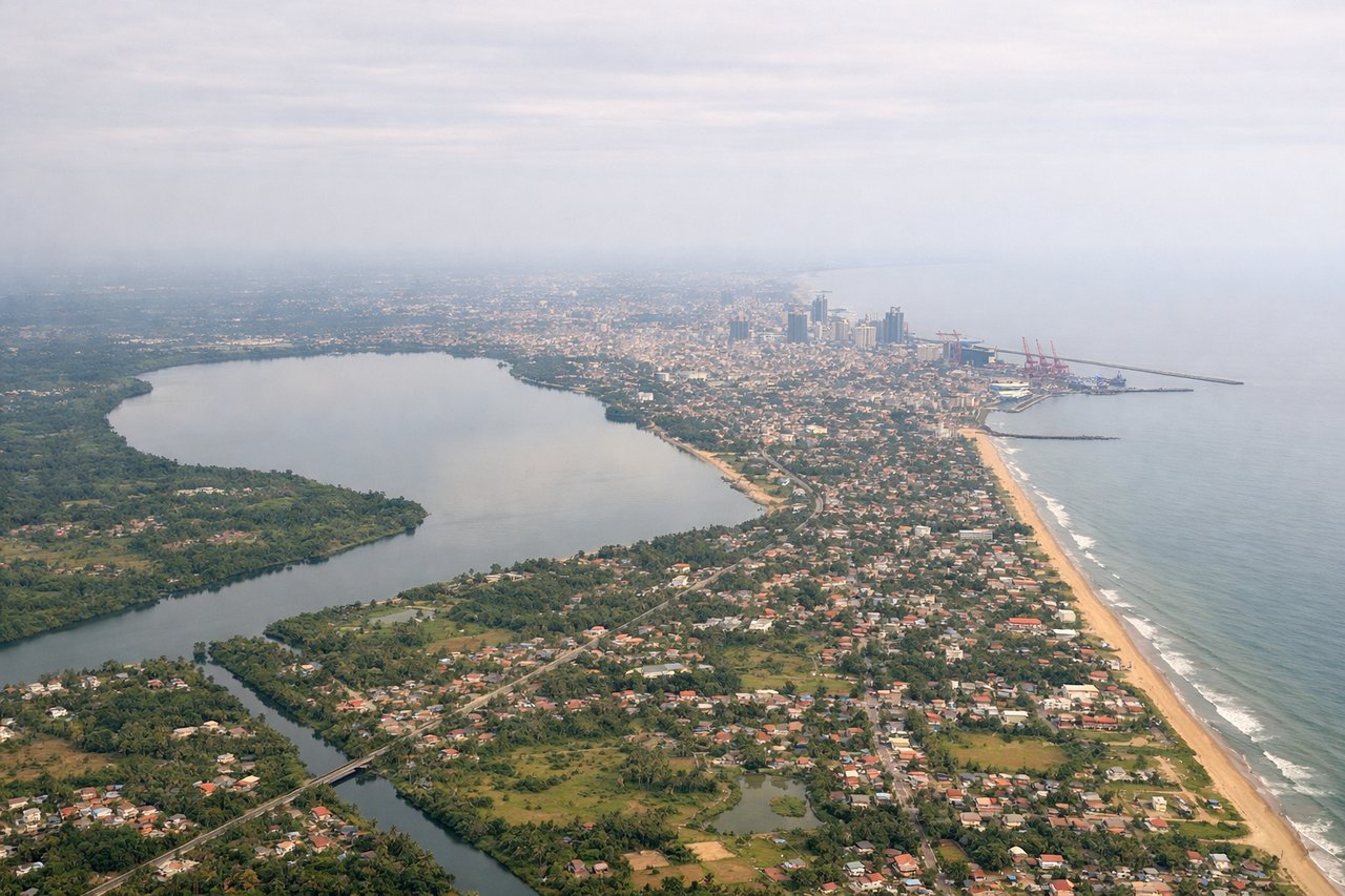
Takeoff from CMB
LEFTDeparting CMB, the climb-out tracks along Sri Lanka's west coast, giving a brief but clear view of Colombo's harbor, the Beira Lake area, and the palm-lined coastline against the Indian Ocean before the aircraft turns north over water.
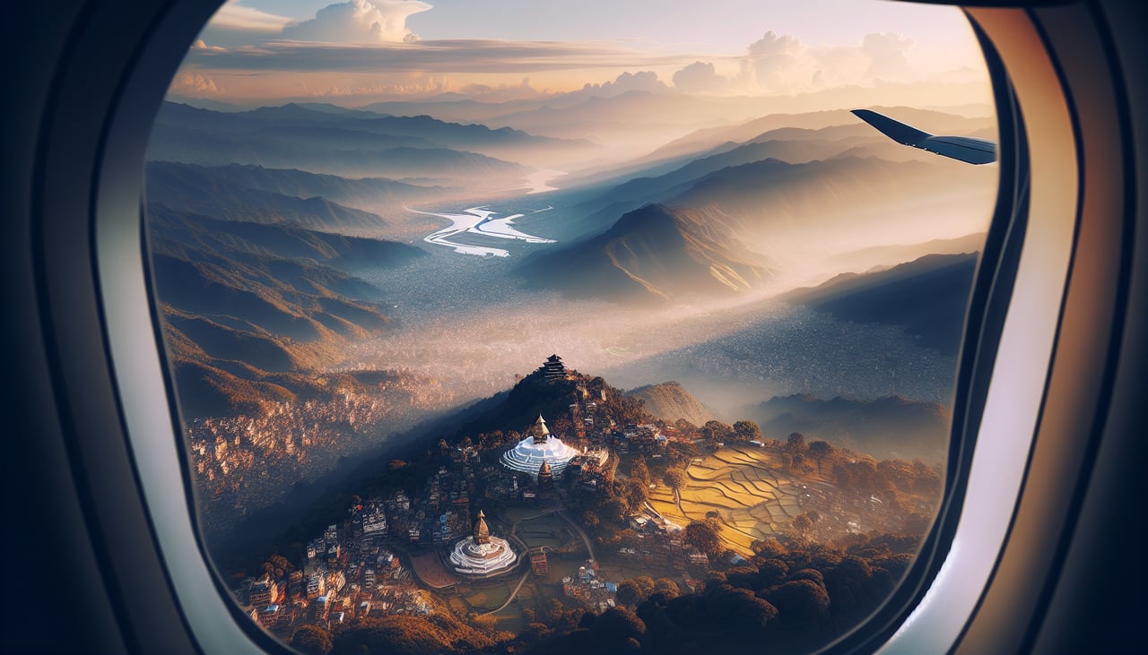
Landing at KTM
RIGHTOn the descent into Kathmandu from the south, the aircraft approaches with the Himalayan front ranges rising ahead and to the right, and on clear days the distant snow-capped massif near Everest is visible to the east over the valley rim. This is the classic 'Everest side' seating for southern approaches into KTM.
Landmarks on this routeAll landmarks →
Will your flight be in sunlight?
See exactly which side of the plane gets sun and shade at your departure time.
About This Route
Which side of the plane should I sit on flying from Bandaranaike International (CMB) to Tribhuvan International (KTM)?
Sit on the Right side of the plane for the best views on flights from Colombo to Kathmandu. While takeoff from Colombo offers a short coastal moment on the left, the right side wins overall because of the dramatic Himalayan approach into Kathmandu, including distant views toward the Everest massif, which far outweighs the largely flat Gangetic plain crossed during cruise.
What can I see during takeoff from Bandaranaike International in Colombo?
During takeoff from Bandaranaike International (CMB), sit on the Left side for the best views. Departing CMB, the climb-out tracks along Sri Lanka's west coast, giving a brief but clear view of Colombo's harbor, the Beira Lake area, and the palm-lined coastline against the Indian Ocean before the aircraft turns north over water. Notable sights include: Colombo harbor and port cranes, Beira Lake, Negombo lagoon further north, Indian Ocean coastline.
What can I see when landing at Tribhuvan International in Kathmandu?
When landing at Tribhuvan International (KTM), sit on the Right side for the best views. On the descent into Kathmandu from the south, the aircraft approaches with the Himalayan front ranges rising ahead and to the right, and on clear days the distant snow-capped massif near Everest is visible to the east over the valley rim. This is the classic 'Everest side' seating for southern approaches into KTM. Notable sights include: Himalayan front ranges, Kathmandu Valley terraced hills, distant snow peaks toward the Everest massif, Bagmati river valley.
How long is the flight from Colombo to Kathmandu?
The flight from Bandaranaike International (CMB) to Tribhuvan International (KTM) takes 3h 55m.
What does the Colombo to Kathmandu flight path pass over?
Bay of Bengal, the flat agricultural plains of eastern India (Odisha and Bihar), and the Ganges river delta region before the terrain rises into the Himalayan foothills near Nepal