Kannur to Bombay is 527 miles (847 km), a flight of about 1 hour 15 minutes.
Right-side seats deliver superior scenery across both segments: the Western Ghats and Arabian Sea during takeoff are more visually striking than the landing approach. The climb-out views are more sustained and dramatic than the final descent into Mumbai's urban landscape.
Flight Path
The flight path runs south-southwest from Kannur, staying roughly parallel to the Kerala-Karnataka coastline. Notable features visible mid-flight include the Western Ghats running continuously along the right side (east), the Arabian Sea on the left (west), and the coastal towns of Kozhikode (Calicut), Kochi, and the backwaters region. The Ghats maintain elevation and forest cover throughout. As the aircraft approaches Mumbai, the landscape transitions from rural Kerala to the industrial and urban zones of Maharashtra, with the Konkan coast becoming increasingly developed.
Great circle distance and headings ›Phase by phase
Takeoff from CNN
RIGHTRight-side seats capture the Arabian Sea coastline and the Western Ghats escarpment as the aircraft climbs southwestward from Kannur. The sea-to-mountain contrast is dramatic and sustained during the initial climb.
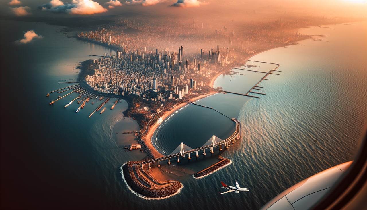
Landing at BOM
LEFTLeft-side seats offer views of the Thane Creek, Elephanta Island, and the Mumbai harbor approach as the aircraft descends toward Chhatrapati Shivaji. The urban sprawl of Mumbai's eastern suburbs and the water bodies create strong visual definition.
Landmarks on this routeAll landmarks →
Will your flight be in sunlight?
Pick a date and time in the Sun Map to watch the sun move across your whole flight.
About This Route
Which side of the plane should I sit on flying from Kannur International Airport (CNN) to Chhatrapati Shivaji International (BOM)?
Sit on the Right side of the plane for the best views on flights from Kannur to Bombay. Right-side seats deliver superior scenery across both segments: the Western Ghats and Arabian Sea during takeoff are more visually striking than the landing approach. The climb-out views are more sustained and dramatic than the final descent into Mumbai's urban landscape.
What can I see during takeoff from Kannur International Airport in Kannur?
During takeoff from Kannur International Airport (CNN), sit on the Right side for the best views. Right-side seats capture the Arabian Sea coastline and the Western Ghats escarpment as the aircraft climbs southwestward from Kannur. The sea-to-mountain contrast is dramatic and sustained during the initial climb. Notable sights include: Arabian Sea coastline, Western Ghats mountain range, Kannur city and port facilities, Thalassery (Tellicherry) coastal town to the south.
What can I see when landing at Chhatrapati Shivaji International in Bombay?
When landing at Chhatrapati Shivaji International (BOM), sit on the Left side for the best views. Left-side seats offer views of the Thane Creek, Elephanta Island, and the Mumbai harbor approach as the aircraft descends toward Chhatrapati Shivaji. The urban sprawl of Mumbai's eastern suburbs and the water bodies create strong visual definition. Notable sights include: Thane Creek and mangrove wetlands, Elephanta Island in Mumbai Harbor, Navi Mumbai's planned urban grid, Mumbai's eastern coastal skyline.
How long is the flight from Kannur to Bombay?
The flight from Kannur International Airport (CNN) to Chhatrapati Shivaji International (BOM) takes about 1 hour 15 minutes. The shortest flight path between them is 527 miles (847 km); winds and air traffic control usually add a few percent.
What does the Kannur to Bombay flight path pass over?
The flight path runs south-southwest from Kannur, staying roughly parallel to the Kerala-Karnataka coastline. Notable features visible mid-flight include the Western Ghats running continuously along the right side (east), the Arabian Sea on the left (west), and the coastal towns of Kozhikode (Calicut), Kochi, and the backwaters region. The Ghats maintain elevation and forest cover throughout. As the aircraft approaches Mumbai, the landscape transitions from rural Kerala to the industrial and urban zones of Maharashtra, with the Konkan coast becoming increasingly developed.