While takeoff favors the right for Potomac River views, the landing approach on the left provides more dramatic and sustained geography—the Des Moines River valley, downtown skyline, and river confluence are more visually distinctive than the departure corridor. Left seats also capture better views during the extended descent phase.
Flown DCA to DSM? Did we get it right?
Flight Path
Washington to Des Moines is 895 miles (1,440 km), a flight of about 2 hours 15 minutes.
The flight path crosses central Pennsylvania (Appalachian foothills visible below), then transitions to Ohio farmland and the Ohio River valley. Around the midpoint near Columbus, Ohio, you'll see the transition from eastern deciduous forest terrain to Midwest agricultural plains. The landscape gradually flattens as you approach Indiana and Illinois, with increasing grid-pattern farmland visible. No major mountain ranges are visible at cruise altitude, but the subtle elevation changes from the Appalachian region to the Great Plains are noticeable in terrain coloring and field patterns.
Great circle distance and headings ›Phase by phase
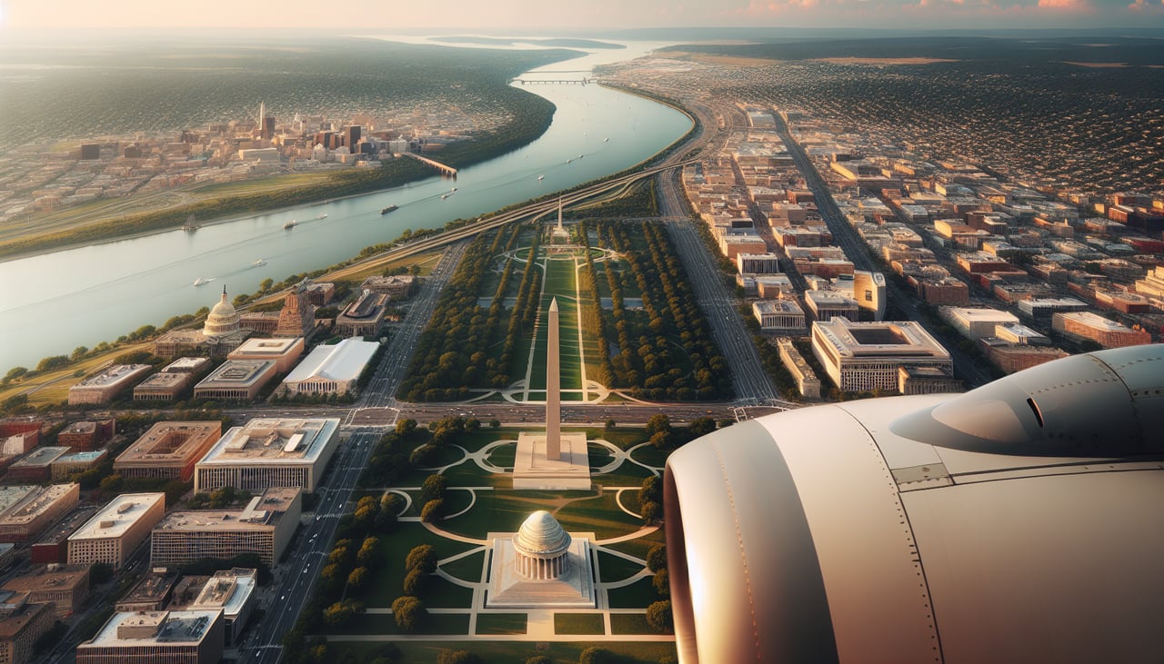
Takeoff from DCA
RIGHTDCA typically departs to the north on Runway 01 or northeast on Runway 19. Right-side seats offer clear views of the Potomac River's northern course and the expanding Washington metropolitan area as you climb out over Maryland.
Landing at DSM
LEFTDSM typically lands on Runway 31 (northeast approach) or Runway 13 (southwest approach). Left-side seats on a northeast approach offer views of the Des Moines River valley and the city's downtown skyline as you descend. On a southwest approach, left seats show the broader Iowa landscape and approach path.
Will your flight be in sunlight?
Pick a date and time in the Sun Map to watch the sun move across your whole flight.
About This Route
Which side of the plane should I sit on flying from Ronald Reagan Washington National (DCA) to Des Moines International (DSM)?
Sit on the Left side of the plane for the best views on flights from Washington to Des Moines. While takeoff favors the right for Potomac River views, the landing approach on the left provides more dramatic and sustained geography—the Des Moines River valley, downtown skyline, and river confluence are more visually distinctive than the departure corridor. Left seats also capture better views during the extended descent phase.
What can I see during takeoff from Ronald Reagan Washington National in Washington?
During takeoff from Ronald Reagan Washington National (DCA), sit on the Right side for the best views. DCA typically departs to the north on Runway 01 or northeast on Runway 19. Right-side seats offer clear views of the Potomac River's northern course and the expanding Washington metropolitan area as you climb out over Maryland. Notable sights include: Potomac River (flowing north), Arlington and Alexandria (immediate right), Chesapeake Bay (distant northeast on horizon).
What can I see when landing at Des Moines International in Des Moines?
When landing at Des Moines International (DSM), sit on the Left side for the best views. DSM typically lands on Runway 31 (northeast approach) or Runway 13 (southwest approach). Left-side seats on a northeast approach offer views of the Des Moines River valley and the city's downtown skyline as you descend. On a southwest approach, left seats show the broader Iowa landscape and approach path. Notable sights include: Des Moines River (visible as it curves through the city), Downtown Des Moines skyline (capitol building visible), Raccoon River (confluence with Des Moines River), Iowa farmland (rolling terrain surrounding the city).
How long is the flight from Washington to Des Moines?
The flight from Ronald Reagan Washington National (DCA) to Des Moines International (DSM) takes about 2 hours 15 minutes. The shortest flight path between them is 895 miles (1,440 km); winds and air traffic control usually add a few percent.
What does the Washington to Des Moines flight path pass over?
The flight path crosses central Pennsylvania (Appalachian foothills visible below), then transitions to Ohio farmland and the Ohio River valley. Around the midpoint near Columbus, Ohio, you'll see the transition from eastern deciduous forest terrain to Midwest agricultural plains. The landscape gradually flattens as you approach Indiana and Illinois, with increasing grid-pattern farmland visible. No major mountain ranges are visible at cruise altitude, but the subtle elevation changes from the Appalachian region to the Great Plains are noticeable in terrain coloring and field patterns.