The left side wins on both ends: a scenic DC monument departure and a lakefront Chicago skyline arrival, while the right side offers mostly flat Midwest farmland with little visual interest for most of the flight.
Flight Path
Appalachian foothills of western Maryland and Pennsylvania give way to the flat farmland of Ohio and Indiana, with the Ohio River briefly visible below near the Ohio-West Virginia border.
Great circle distance and headings ›.jpeg?width=600)

Phase by phase
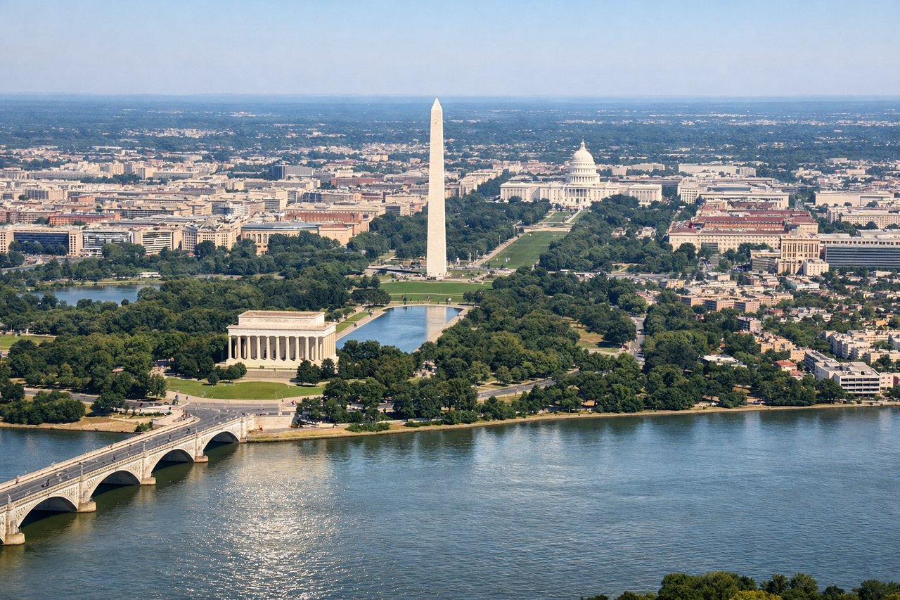
Takeoff from DCA
LEFTDeparting DCA, flights typically loop north or west over the Potomac, giving left-side passengers a good look back at the National Mall, the Potomac River, and downtown DC before heading northwest. This is one of the most recognizable urban departures in the US.
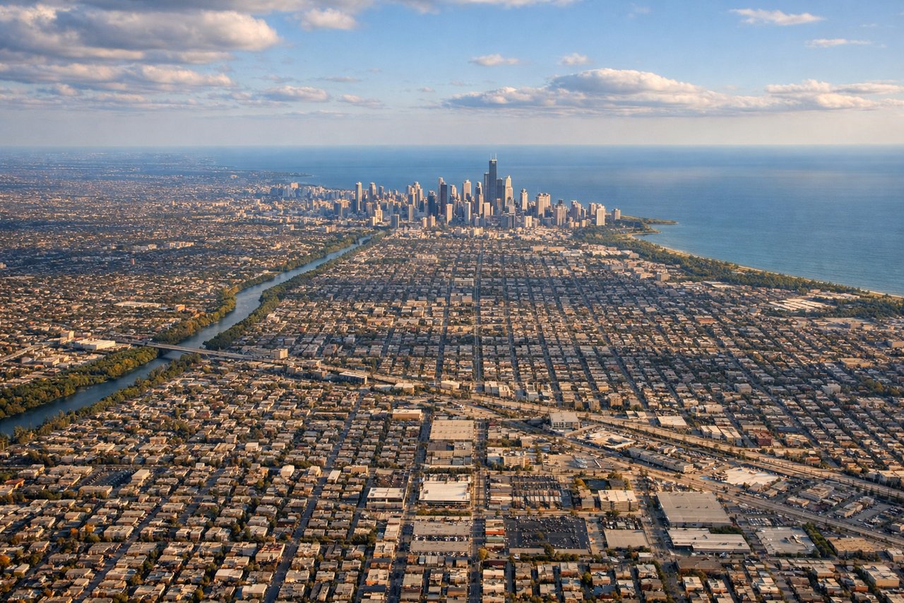
Landing at ORD
LEFTArrivals into ORD from the east often swing over Lake Michigan and the Chicago shoreline before turning onto final approach, giving left-side passengers a striking view of the Chicago skyline and lakefront. This is a much stronger visual than the flat farmland typically seen on approach from the south or west.
Landmarks on this routeAll landmarks →
Will your flight be in sunlight?
See exactly which side of the plane gets sun and shade at your departure time.
About This Route
Which side of the plane should I sit on flying from Ronald Reagan Washington National (DCA) to Chicago Ohare International (ORD)?
Sit on the Left side of the plane for the best views on flights from Washington to Chicago. The left side wins on both ends: a scenic DC monument departure and a lakefront Chicago skyline arrival, while the right side offers mostly flat Midwest farmland with little visual interest for most of the flight.
What can I see during takeoff from Ronald Reagan Washington National in Washington?
During takeoff from Ronald Reagan Washington National (DCA), sit on the Left side for the best views. Departing DCA, flights typically loop north or west over the Potomac, giving left-side passengers a good look back at the National Mall, the Potomac River, and downtown DC before heading northwest. This is one of the most recognizable urban departures in the US. Notable sights include: Potomac River, National Mall and monuments, Georgetown, Capitol dome.
What can I see when landing at Chicago Ohare International in Chicago?
When landing at Chicago Ohare International (ORD), sit on the Left side for the best views. Arrivals into ORD from the east often swing over Lake Michigan and the Chicago shoreline before turning onto final approach, giving left-side passengers a striking view of the Chicago skyline and lakefront. This is a much stronger visual than the flat farmland typically seen on approach from the south or west. Notable sights include: Lake Michigan shoreline, Chicago skyline (Willis Tower, Sears/Willis Tower), Navy Pier, Loop district.
How long is the flight from Washington to Chicago?
The flight from Ronald Reagan Washington National (DCA) to Chicago Ohare International (ORD) takes 1h 55m.
What does the Washington to Chicago flight path pass over?
Appalachian foothills of western Maryland and Pennsylvania give way to the flat farmland of Ohio and Indiana, with the Ohio River briefly visible below near the Ohio-West Virginia border.