Washington to St. Louis is 717 miles (1,154 km), a flight of about 1 hour 45 minutes.
The left side wins both ends of the flight — DC's monuments during the westward departure turn and the Gateway Arch with the Mississippi River on approach into St. Louis — while cruise over flat Midwestern terrain offers little to distinguish either side.
Flight Path
Appalachian foothills of western Virginia and West Virginia, the Ohio River valley, and the flat agricultural plains of Indiana and Illinois
Great circle distance and headings ›.jpeg?width=600)

Phase by phase
Takeoff from DCA
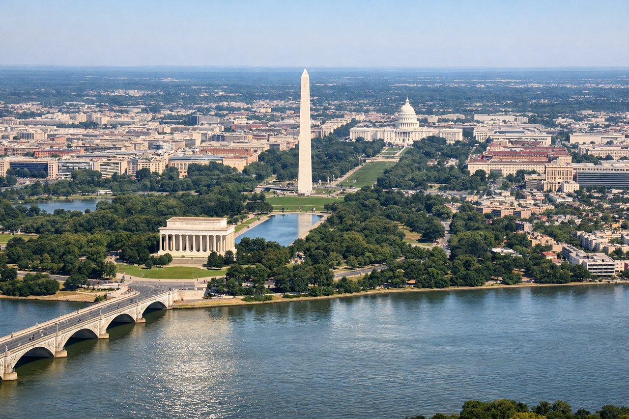
LEFTDeparting DCA to the west, aircraft typically climb north off Runway 01 then bank left toward St. Louis, giving left-side passengers a sweeping view of the National Mall, Capitol, and Potomac River during the turn. The right side only sees the Anacostia flats and eastern suburbs.
Landing at STL
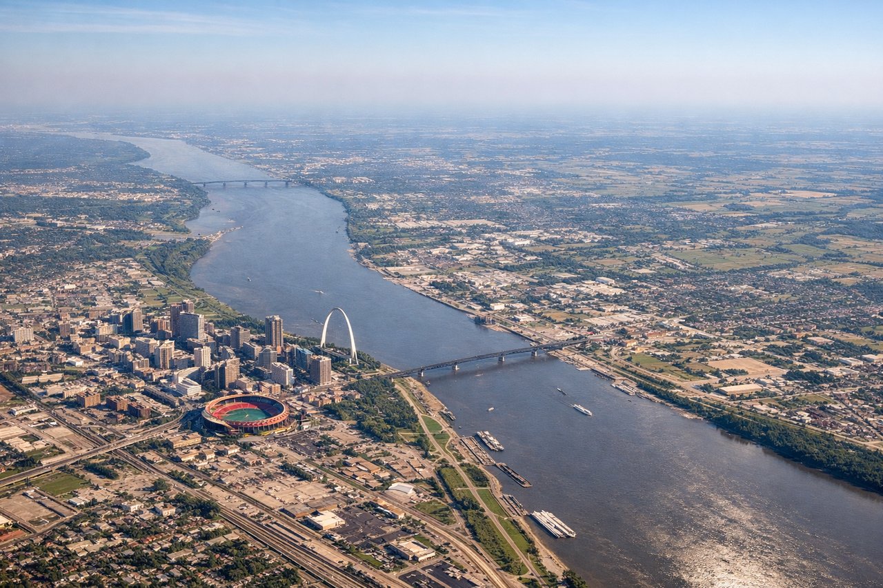
LEFTOn approach into STL from the east, aircraft descending toward the parallel runways often cross the Mississippi River near downtown, putting the Gateway Arch and St. Louis skyline in view on the left side just before touchdown. The right side shows only flat farmland with no distinguishing features.
Landmarks on this routeAll landmarks →
Will your flight be in sunlight?
Pick a date and time in the Sun Map to watch the sun move across your whole flight.
About This Route
Which side of the plane should I sit on flying from Ronald Reagan Washington National (DCA) to Lambert St Louis International (STL)?
Sit on the Left side of the plane for the best views on flights from Washington to St. Louis. The left side wins both ends of the flight — DC's monuments during the westward departure turn and the Gateway Arch with the Mississippi River on approach into St. Louis — while cruise over flat Midwestern terrain offers little to distinguish either side.
What can I see during takeoff from Ronald Reagan Washington National in Washington?
During takeoff from Ronald Reagan Washington National (DCA), sit on the Left side for the best views. Departing DCA to the west, aircraft typically climb north off Runway 01 then bank left toward St. Louis, giving left-side passengers a sweeping view of the National Mall, Capitol, and Potomac River during the turn. The right side only sees the Anacostia flats and eastern suburbs. Notable sights include: U.S. Capitol, Washington Monument, Potomac River, Pentagon.
What can I see when landing at Lambert St Louis International in St. Louis?
When landing at Lambert St Louis International (STL), sit on the Left side for the best views. On approach into STL from the east, aircraft descending toward the parallel runways often cross the Mississippi River near downtown, putting the Gateway Arch and St. Louis skyline in view on the left side just before touchdown. The right side shows only flat farmland with no distinguishing features. Notable sights include: Gateway Arch, Mississippi River, downtown St. Louis skyline, Busch Stadium.
How long is the flight from Washington to St. Louis?
The flight from Ronald Reagan Washington National (DCA) to Lambert St Louis International (STL) takes about 1 hour 45 minutes. The shortest flight path between them is 717 miles (1,154 km); winds and air traffic control usually add a few percent.
What does the Washington to St. Louis flight path pass over?
Appalachian foothills of western Virginia and West Virginia, the Ohio River valley, and the flat agricultural plains of Indiana and Illinois