While the takeoff offers some interest over North Texas terrain, the landing approach on the right side delivers the most visually compelling segment—the dramatic arrival into the Rocky Mountain front and Eagle River valley is far more distinctive than the relatively flat departure from DFW.
Flown DFW to EGE? Did we get it right?
Flight Path
Dallas-Fort Worth to Eagle is 720 miles (1,159 km), a flight of about 2 hours 10 minutes.
The flight path crosses the Texas Panhandle (Palo Duro Canyon visible on the right during mid-flight), transitions into New Mexico's high plains, then enters Colorado's San Juan Mountains and Sangre de Cristo Range foothills before descending into the Eagle River valley. The Canadian River, Cimarron River, and the Raton Pass area mark the Texas-New Mexico transition. In Colorado, the Huerfano River valley and the approach to the Sawatch Range dominate the final 45 minutes.
Great circle distance and headings ›Phase by phase
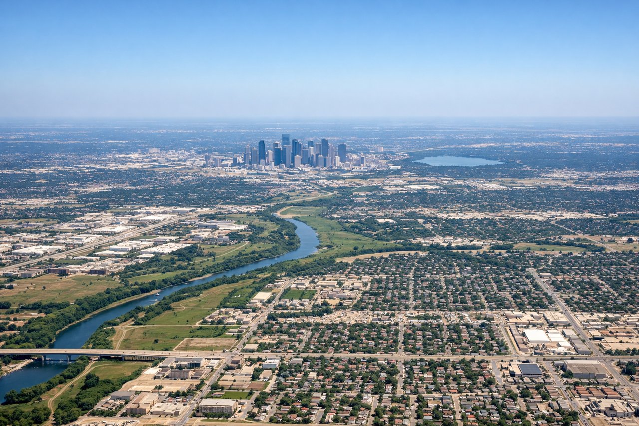
Takeoff from DFW
LEFTLeft side captures the northwestward climb-out path with views of the Fort Worth metropolitan area receding below, followed by the clear transition into open Texas terrain. Right side faces southeast toward Dallas proper, which offers less distinctive visual progression for this routing.
Landing at EGE
RIGHTRight side provides the superior descent view into Eagle County. As the aircraft descends on a northeasterly approach into EGE, the right window frames the dramatic Rocky Mountain front and the Eagle River valley directly ahead. The left side faces away from the mountains toward the western plateau.
Will your flight be in sunlight?
Pick a date and time in the Sun Map to watch the sun move across your whole flight.
About This Route
Which side of the plane should I sit on flying from Dallas Fort Worth International (DFW) to Eagle County Regional Airport (EGE)?
Sit on the Right side of the plane for the best views on flights from Dallas-Fort Worth to Eagle. While the takeoff offers some interest over North Texas terrain, the landing approach on the right side delivers the most visually compelling segment—the dramatic arrival into the Rocky Mountain front and Eagle River valley is far more distinctive than the relatively flat departure from DFW.
What can I see during takeoff from Dallas Fort Worth International in Dallas-Fort Worth?
During takeoff from Dallas Fort Worth International (DFW), sit on the Left side for the best views. Left side captures the northwestward climb-out path with views of the Fort Worth metropolitan area receding below, followed by the clear transition into open Texas terrain. Right side faces southeast toward Dallas proper, which offers less distinctive visual progression for this routing. Notable sights include: Fort Worth downtown and surrounding sprawl, Lake Lavon to the northeast, the Red River valley defining the Texas-Oklahoma border in the distance.
What can I see when landing at Eagle County Regional Airport in Eagle?
When landing at Eagle County Regional Airport (EGE), sit on the Right side for the best views. Right side provides the superior descent view into Eagle County. As the aircraft descends on a northeasterly approach into EGE, the right window frames the dramatic Rocky Mountain front and the Eagle River valley directly ahead. The left side faces away from the mountains toward the western plateau. Notable sights include: The Gore Range and Sawatch Range peaks (including Mount of the Holy Cross visible on clear days), the Eagle River valley and its confluence with the Colorado River, Vail ski resort area on the mountainsides.
How long is the flight from Dallas-Fort Worth to Eagle?
The flight from Dallas Fort Worth International (DFW) to Eagle County Regional Airport (EGE) takes about 2 hours 10 minutes. The shortest flight path between them is 720 miles (1,159 km); winds and air traffic control usually add a few percent.
What does the Dallas-Fort Worth to Eagle flight path pass over?
The flight path crosses the Texas Panhandle (Palo Duro Canyon visible on the right during mid-flight), transitions into New Mexico's high plains, then enters Colorado's San Juan Mountains and Sangre de Cristo Range foothills before descending into the Eagle River valley. The Canadian River, Cimarron River, and the Raton Pass area mark the Texas-New Mexico transition. In Colorado, the Huerfano River valley and the approach to the Sawatch Range dominate the final 45 minutes.