Right-side seats capture the dramatic Cordillera Central departure from Medellín and provide consistent views of the high Andean terrain throughout the flight path. While left seats offer the Cordillera Oriental approach to Bogotá, the takeoff scenery from Medellín's valley is more visually distinctive.
Flown EOH to BOG? Did we get it right?
Flight Path
Medellin to Bogota is 144 miles (232 km), a flight of about 50 minutes.
Cauca River valley, Cordillera Central ridge line running north-south, transition from Medellín's tropical Aburrá Valley (1,500 m) to Bogotá's high savanna plateau (2,600 m), multiple Andean peaks including Nevado del Ruiz region to the north, agricultural lands and small towns scattered across the central highlands
Great circle distance and headings ›

Phase by phase
Takeoff from EOH
RIGHTClimbing eastbound from Olaya Herrera, right-side seats face the Cordillera Central and Aburrá Valley terrain that dominates the immediate departure corridor. Left seats see the city and western slopes only.
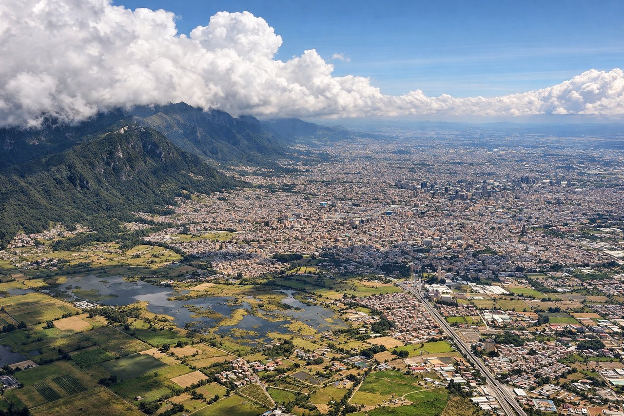
Landing at BOG
LEFTDescending westbound into Bogotá, left-side seats face the Cordillera Oriental's western escarpment and the high plateau approach. Right seats see only the city and surrounding plains after descent below 8,000 feet.
Will your flight be in sunlight?
Pick a date and time in the Sun Map to watch the sun move across your whole flight.
About This Route
Which side of the plane should I sit on flying from Olaya Herrera (EOH) to Eldorado International (BOG)?
Sit on the Right side of the plane for the best views on flights from Medellin to Bogota. Right-side seats capture the dramatic Cordillera Central departure from Medellín and provide consistent views of the high Andean terrain throughout the flight path. While left seats offer the Cordillera Oriental approach to Bogotá, the takeoff scenery from Medellín's valley is more visually distinctive.
What can I see during takeoff from Olaya Herrera in Medellin?
During takeoff from Olaya Herrera (EOH), sit on the Right side for the best views. Climbing eastbound from Olaya Herrera, right-side seats face the Cordillera Central and Aburrá Valley terrain that dominates the immediate departure corridor. Left seats see the city and western slopes only. Notable sights include: Cordillera Central (eastern ridge), Aburrá Valley floor, Arví Peak (2,480 m), urban Medellín grid.
What can I see when landing at Eldorado International in Bogota?
When landing at Eldorado International (BOG), sit on the Left side for the best views. Descending westbound into Bogotá, left-side seats face the Cordillera Oriental's western escarpment and the high plateau approach. Right seats see only the city and surrounding plains after descent below 8,000 feet. Notable sights include: Cordillera Oriental (western face), Bogotá savanna plateau, Monserrate Peak (3,152 m), Río Magdalena valley to the west.
How long is the flight from Medellin to Bogota?
The flight from Olaya Herrera (EOH) to Eldorado International (BOG) takes about 50 minutes. The shortest flight path between them is 144 miles (232 km); winds and air traffic control usually add a few percent.
What does the Medellin to Bogota flight path pass over?
Cauca River valley, Cordillera Central ridge line running north-south, transition from Medellín's tropical Aburrá Valley (1,500 m) to Bogotá's high savanna plateau (2,600 m), multiple Andean peaks including Nevado del Ruiz region to the north, agricultural lands and small towns scattered across the central highlands