Right-side seats capture the most dramatic geography: the Faroe Islands' volcanic terrain and sea cliffs during departure, and the best views of the island chain's characteristic steep peaks during the approach descent.
Flown FAE to EDI? Did we get it right?
Flight Path
Vagar to Edinburgh is 444 miles (715 km), a flight of about 1 hour 15 minutes.
The flight path crosses the North Sea at roughly 58°N, passing west of the Shetland Islands (visible as low, distant landmass if conditions permit). The route then tracks southeast toward the Scottish coast, with the Southern Uplands of Scotland becoming visible on approach to Edinburgh. No major mountain ranges cross the direct path, but the Pentland Hills south of Edinburgh become visible during final descent.
Great circle distance and headings ›

Phase by phase
Takeoff from FAE
RIGHTFAE typically departs runway 11 (northeast heading). Right-side seats offer views of the dramatic cliffs and peaks of Vagar island as you climb out over the North Atlantic, with the distinctive terrain of the Faroe Islands spreading below.
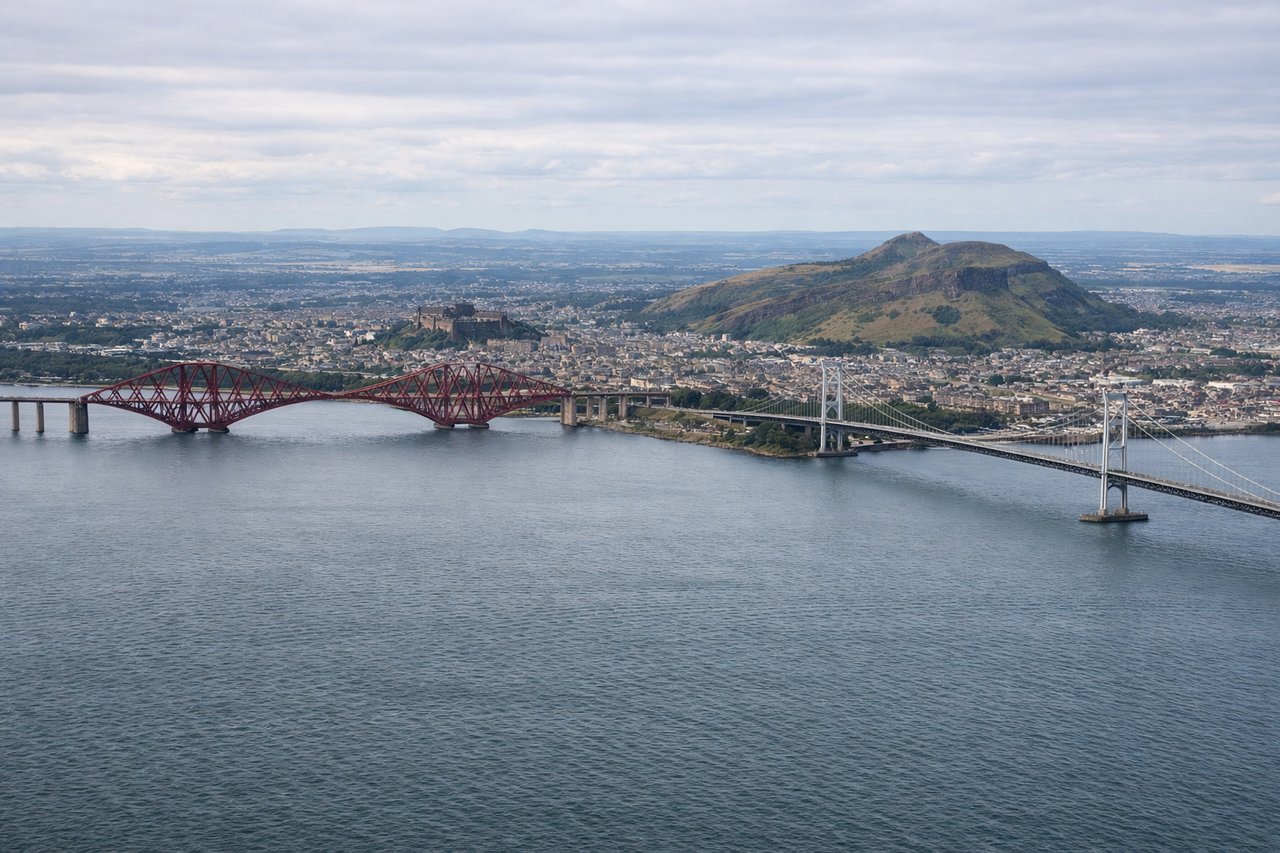
Landing at EDI
LEFTApproaching FAE typically uses runway 29 (southwest heading). Left-side seats provide excellent views during descent of the Faroe Islands' characteristic steep terrain, with Streymoy and neighboring islands visible as you descend toward Vagar.
Will your flight be in sunlight?
Pick a date and time in the Sun Map to watch the sun move across your whole flight.
About This Route
Which side of the plane should I sit on flying from Vagar (FAE) to Edinburgh (EDI)?
Sit on the Right side of the plane for the best views on flights from Vagar to Edinburgh. Right-side seats capture the most dramatic geography: the Faroe Islands' volcanic terrain and sea cliffs during departure, and the best views of the island chain's characteristic steep peaks during the approach descent.
What can I see during takeoff from Vagar in Vagar?
During takeoff from Vagar (FAE), sit on the Right side for the best views. FAE typically departs runway 11 (northeast heading). Right-side seats offer views of the dramatic cliffs and peaks of Vagar island as you climb out over the North Atlantic, with the distinctive terrain of the Faroe Islands spreading below. Notable sights include: Vagar's western sea cliffs, Streymoy island to the north, the Atlantic Ocean extending westward, Kollafjørður fjord to the east.
What can I see when landing at Edinburgh in Edinburgh?
When landing at Edinburgh (EDI), sit on the Left side for the best views. Approaching FAE typically uses runway 29 (southwest heading). Left-side seats provide excellent views during descent of the Faroe Islands' characteristic steep terrain, with Streymoy and neighboring islands visible as you descend toward Vagar. Notable sights include: Streymoy island's northern peaks, the sound between Streymoy and Vagar, Kollafjørður fjord, Vágar's approach terrain.
How long is the flight from Vagar to Edinburgh?
The flight from Vagar (FAE) to Edinburgh (EDI) takes about 1 hour 15 minutes. The shortest flight path between them is 444 miles (715 km); winds and air traffic control usually add a few percent.
What does the Vagar to Edinburgh flight path pass over?
The flight path crosses the North Sea at roughly 58°N, passing west of the Shetland Islands (visible as low, distant landmass if conditions permit). The route then tracks southeast toward the Scottish coast, with the Southern Uplands of Scotland becoming visible on approach to Edinburgh. No major mountain ranges cross the direct path, but the Pentland Hills south of Edinburgh become visible during final descent.