The left side delivers the Alaska Range and Denali views on departure, which are among the most dramatic aerial sights in North America. Through the mid-flight over Canada and the northern Rockies, the left side also tracks closer to the Canadian Rockies and the broad river systems of British Columbia and Alberta. The Atlanta arrival views on the right are good but less dramatic by comparison.
Flown FAI to ATL? Did we get it right?
Flight Path
Fairbanks to Atlanta is 3,366 miles (5,417 km), a flight of about 7 hours.
The great circle route tracks southeast over the Yukon River basin, then across the Canadian Rockies and the broad Interior Plains of Alberta and Montana, over the Rocky Mountain Front Range, across the Great Plains of Kansas and Missouri, then into the Ozark Plateau and the Tennessee Valley before descending into Georgia. Notable features include the Yukon River crossings, the Canadian Rockies spine, the Missouri River, and the Tennessee River valley.
Great circle distance and headings ›

Phase by phase
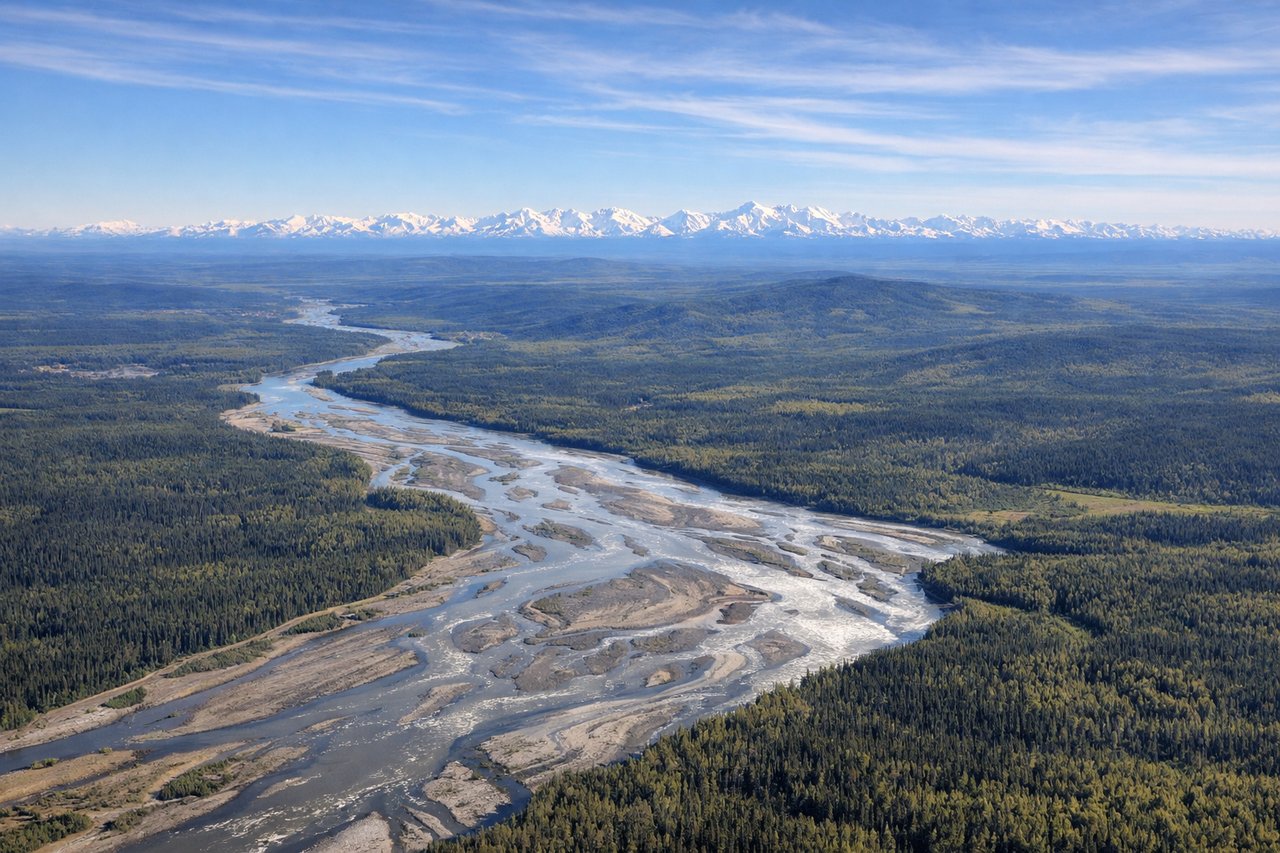
Takeoff from FAI
LEFTFairbanks typically departs southeast on runway 2L/2R, so the left side faces east toward the Alaska Range. You get a clear view of the Tanana River valley and the massive peaks of the Alaska Range including Denali on clear days, roughly 130 miles to the southwest but visible at altitude.

Landing at ATL
RIGHTAtlanta's primary arrival from the north typically uses runways 8L/8R or 9L/9R heading east, or 26/27 heading west depending on winds. On the more common northerly approach descending from the north, the right side gives views over downtown Atlanta's skyline and Stone Mountain to the east. On westerly landings, right side still captures the city core.
Will your flight be in sunlight?
Pick a date and time in the Sun Map to watch the sun move across your whole flight.
About This Route
Which side of the plane should I sit on flying from Fairbanks International (FAI) to The William B Hartsfield Atlanta International (ATL)?
Sit on the Left side of the plane for the best views on flights from Fairbanks to Atlanta. The left side delivers the Alaska Range and Denali views on departure, which are among the most dramatic aerial sights in North America. Through the mid-flight over Canada and the northern Rockies, the left side also tracks closer to the Canadian Rockies and the broad river systems of British Columbia and Alberta. The Atlanta arrival views on the right are good but less dramatic by comparison.
What can I see during takeoff from Fairbanks International in Fairbanks?
During takeoff from Fairbanks International (FAI), sit on the Left side for the best views. Fairbanks typically departs southeast on runway 2L/2R, so the left side faces east toward the Alaska Range. You get a clear view of the Tanana River valley and the massive peaks of the Alaska Range including Denali on clear days, roughly 130 miles to the southwest but visible at altitude. Notable sights include: Tanana River floodplain, Alaska Range (including Denali on clear days), Chena River confluence near Fairbanks, boreal taiga stretching to the horizon.
What can I see when landing at The William B Hartsfield Atlanta International in Atlanta?
When landing at The William B Hartsfield Atlanta International (ATL), sit on the Right side for the best views. Atlanta's primary arrival from the north typically uses runways 8L/8R or 9L/9R heading east, or 26/27 heading west depending on winds. On the more common northerly approach descending from the north, the right side gives views over downtown Atlanta's skyline and Stone Mountain to the east. On westerly landings, right side still captures the city core. Notable sights include: Downtown Atlanta skyline, Stone Mountain (granite dome visible to the east), Lake Lanier to the north, Chattahoochee River corridor.
How long is the flight from Fairbanks to Atlanta?
The flight from Fairbanks International (FAI) to The William B Hartsfield Atlanta International (ATL) takes about 7 hours. The shortest flight path between them is 3,366 miles (5,417 km); winds and air traffic control usually add a few percent.
What does the Fairbanks to Atlanta flight path pass over?
The great circle route tracks southeast over the Yukon River basin, then across the Canadian Rockies and the broad Interior Plains of Alberta and Montana, over the Rocky Mountain Front Range, across the Great Plains of Kansas and Missouri, then into the Ozark Plateau and the Tennessee Valley before descending into Georgia. Notable features include the Yukon River crossings, the Canadian Rockies spine, the Missouri River, and the Tennessee River valley.