The right side wins primarily on the strength of Denali during departure, one of the most dramatic single landmarks visible from any commercial flight, combined with the Alaska Range and interior British Columbia's mountainous terrain during much of the cruise phase, edging out the left side's strong but shorter Rainier-and-skyline finale.
Flight Path
Yukon River lowlands and boreal forest of Yukon Territory, the Rocky Mountain Trench and interior plateau of British Columbia, the Fraser River valley, and the northern Cascade Range as the flight descends into Washington
Great circle distance and headings ›


Phase by phase
Takeoff from FAI
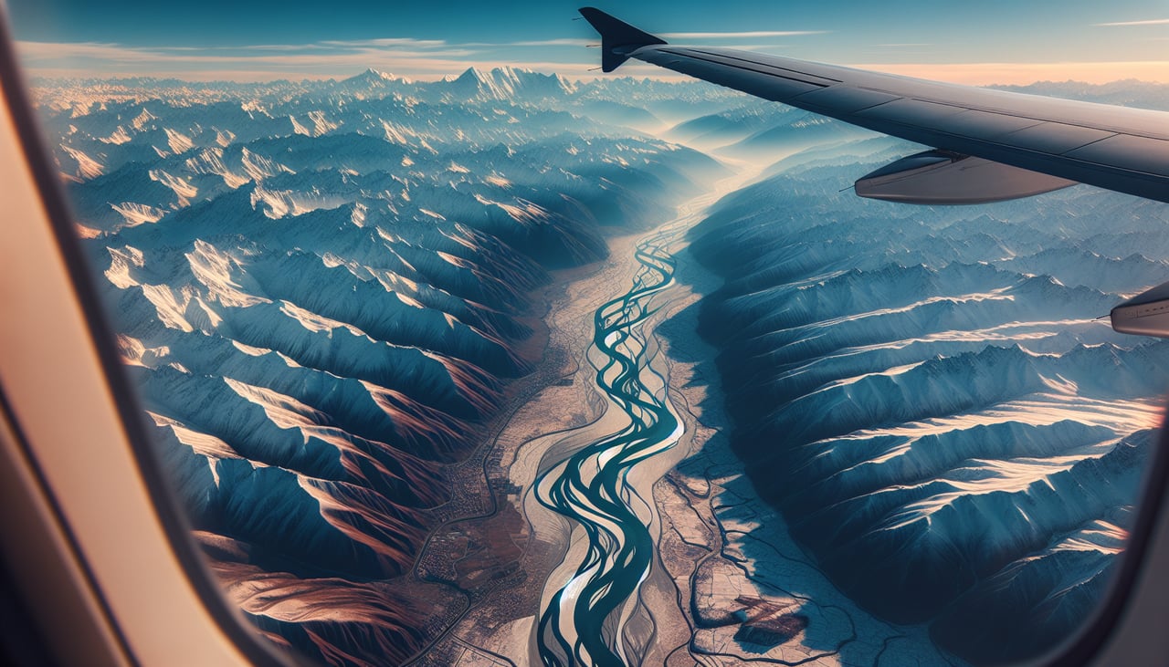
RIGHTDeparting FAI on runway 20 turns the aircraft onto a south-southeast heading toward Seattle, putting the Alaska Range squarely on the right side. Denali, the continent's tallest peak, dominates the horizon to the southwest for several minutes after takeoff on a clear day.
Landing at SEA
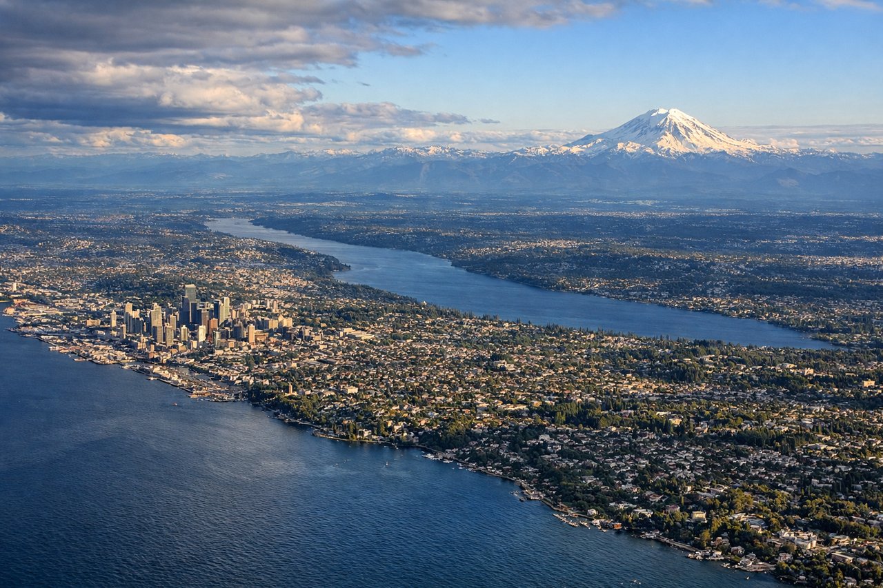
LEFTArriving from the north on runway 16, the descent path runs down the Puget Sound corridor with Seattle and the Cascade foothills off the left side. Mount Rainier's snow-covered cone stands out clearly to the southeast during the final approach.
Landmarks on this routeAll landmarks →
Will your flight be in sunlight?
See exactly which side of the plane gets sun and shade at your departure time.
About This Route
Which side of the plane should I sit on flying from Fairbanks International (FAI) to Seattle Tacoma International (SEA)?
Sit on the Right side of the plane for the best views on flights from Fairbanks to Seattle. The right side wins primarily on the strength of Denali during departure, one of the most dramatic single landmarks visible from any commercial flight, combined with the Alaska Range and interior British Columbia's mountainous terrain during much of the cruise phase, edging out the left side's strong but shorter Rainier-and-skyline finale.
What can I see during takeoff from Fairbanks International in Fairbanks?
During takeoff from Fairbanks International (FAI), sit on the Right side for the best views. Departing FAI on runway 20 turns the aircraft onto a south-southeast heading toward Seattle, putting the Alaska Range squarely on the right side. Denali, the continent's tallest peak, dominates the horizon to the southwest for several minutes after takeoff on a clear day. Notable sights include: Denali (Mount McKinley), Alaska Range, Tanana River valley, Fairbanks townsite below.
What can I see when landing at Seattle Tacoma International in Seattle?
When landing at Seattle Tacoma International (SEA), sit on the Left side for the best views. Arriving from the north on runway 16, the descent path runs down the Puget Sound corridor with Seattle and the Cascade foothills off the left side. Mount Rainier's snow-covered cone stands out clearly to the southeast during the final approach. Notable sights include: Mount Rainier, Cascade foothills, Lake Washington, Seattle skyline.
How long is the flight from Fairbanks to Seattle?
The flight from Fairbanks International (FAI) to Seattle Tacoma International (SEA) takes 3h 15m.
What does the Fairbanks to Seattle flight path pass over?
Yukon River lowlands and boreal forest of Yukon Territory, the Rocky Mountain Trench and interior plateau of British Columbia, the Fraser River valley, and the northern Cascade Range as the flight descends into Washington