Fort Myers to New York is 1,075 miles (1,731 km), a flight of about 3 hours 15 minutes.
The takeoff from Fort Myers offers more visually distinctive coastal and estuarine scenery than the landing approach into JFK, which, while iconic, involves more urban density and less natural landscape variation.
Flight Path
The flight path crosses the Atlantic coast near the Georgia-South Carolina border, passes over the Outer Banks of North Carolina (visible as thin barrier islands and Cape Hatteras), then continues northeast over the Atlantic Ocean. The Appalachian Mountains are too far inland and west to be visible on the direct route. Coastal features dominate the mid-flight segment, including the Pamlico Sound and various barrier island systems along the Carolinas.
Great circle distance and headings ›
.jpg?width=600)
Phase by phase
Takeoff from FMY
RIGHTRight side offers views of the Caloosahatchee River estuary and the Gulf of Mexico coastline as the aircraft climbs out over southwest Florida. The left side faces inland toward the Everglades, which are less visually distinctive at altitude.
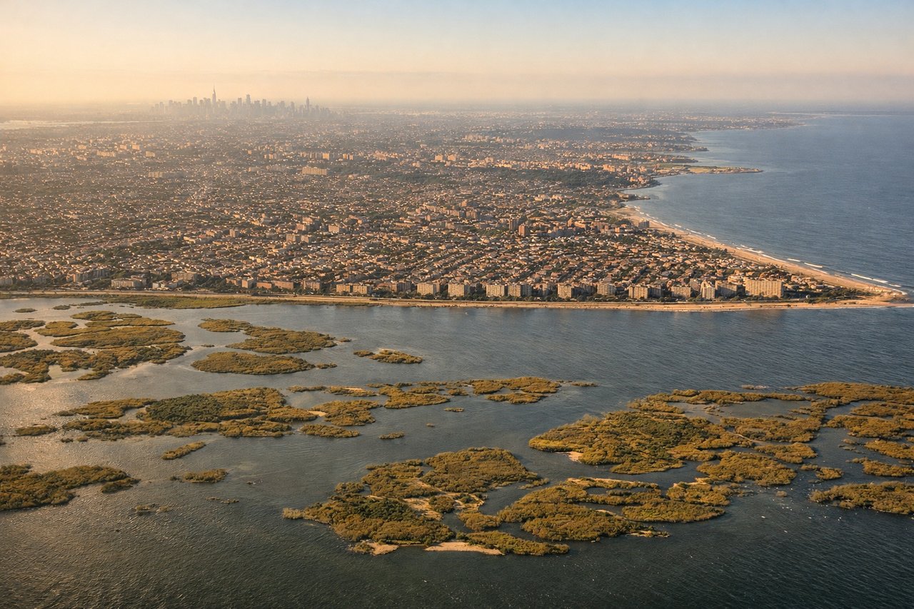
Landing at JFK
LEFTLeft side provides excellent views of the Hudson River, Manhattan's skyline, and the approach corridor over the East River and Queens during descent into JFK. The right side faces toward Brooklyn and the Atlantic, which is less visually distinctive during final approach.
Landmarks on this routeAll landmarks →
Will your flight be in sunlight?
Pick a date and time in the Sun Map to watch the sun move across your whole flight.
About This Route
Which side of the plane should I sit on flying from Page Fld (FMY) to John F Kennedy International (JFK)?
Sit on the Right side of the plane for the best views on flights from Fort Myers to New York. The takeoff from Fort Myers offers more visually distinctive coastal and estuarine scenery than the landing approach into JFK, which, while iconic, involves more urban density and less natural landscape variation.
What can I see during takeoff from Page Fld in Fort Myers?
During takeoff from Page Fld (FMY), sit on the Right side for the best views. Right side offers views of the Caloosahatchee River estuary and the Gulf of Mexico coastline as the aircraft climbs out over southwest Florida. The left side faces inland toward the Everglades, which are less visually distinctive at altitude. Notable sights include: Caloosahatchee River estuary, Gulf of Mexico coastline, Sanibel Island, Pine Island Sound.
What can I see when landing at John F Kennedy International in New York?
When landing at John F Kennedy International (JFK), sit on the Left side for the best views. Left side provides excellent views of the Hudson River, Manhattan's skyline, and the approach corridor over the East River and Queens during descent into JFK. The right side faces toward Brooklyn and the Atlantic, which is less visually distinctive during final approach. Notable sights include: Hudson River, Manhattan skyline, East River, Queens neighborhoods.
How long is the flight from Fort Myers to New York?
The flight from Page Fld (FMY) to John F Kennedy International (JFK) takes about 3 hours 15 minutes. The shortest flight path between them is 1,075 miles (1,731 km); winds and air traffic control usually add a few percent.
What does the Fort Myers to New York flight path pass over?
The flight path crosses the Atlantic coast near the Georgia-South Carolina border, passes over the Outer Banks of North Carolina (visible as thin barrier islands and Cape Hatteras), then continues northeast over the Atlantic Ocean. The Appalachian Mountains are too far inland and west to be visible on the direct route. Coastal features dominate the mid-flight segment, including the Pamlico Sound and various barrier island systems along the Carolinas.