Istanbul to Bucharest is 260 miles (418 km), a flight of about 1 hour 20 minutes.
The right side wins because it captures the only two genuinely scenic moments of this short, mostly flat route: the Black Sea coastline near Istanbul at takeoff and the Bucharest urban skyline on final approach. The left side offers mostly featureless farmland for the bulk of the flight.
Flight Path
Bulgarian farmland and the low Balkan foothills near the Danube plain, with the Danube River marking the Bulgaria-Romania border before descent into the flat Wallachian plain
Great circle distance and headings ›Phase by phase
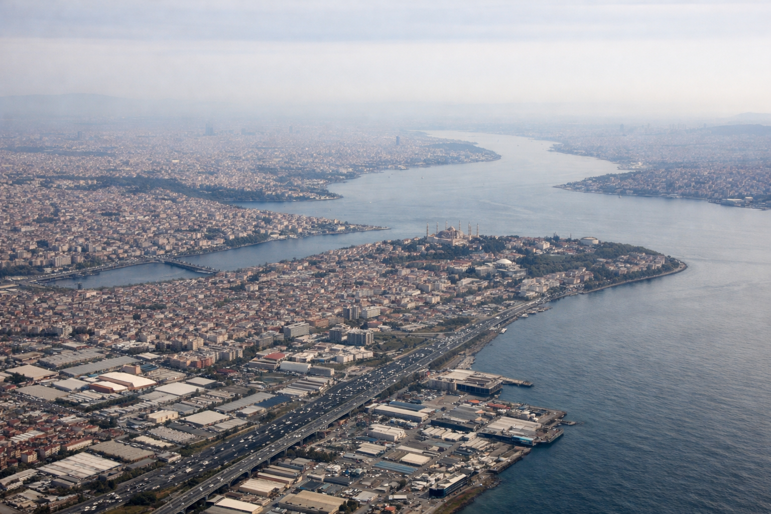
Takeoff from IST
RIGHTIST departs northbound off the Black Sea coast, and a right-side seat catches the coastline and the dark blue expanse of the Black Sea receding behind as the aircraft turns onto its northwest heading toward Bulgaria. The left side mostly shows Istanbul's sprawling suburbs and later just farmland.
Landing at BBU
RIGHTOn approach into BBU, the flight path typically curves in from the south or east over the flat Wallachian plain, giving right-side passengers a clear view of Bucharest's dense urban core, including the wide boulevards and the string of lakes north of the city, before the final turn to land.
Landmarks on this routeAll landmarks →
Will your flight be in sunlight?
Pick a date and time in the Sun Map to watch the sun move across your whole flight.
About This Route
Which side of the plane should I sit on flying from İstanbul Airport (IST) to Baneasa (BBU)?
Sit on the Right side of the plane for the best views on flights from Istanbul to Bucharest. The right side wins because it captures the only two genuinely scenic moments of this short, mostly flat route: the Black Sea coastline near Istanbul at takeoff and the Bucharest urban skyline on final approach. The left side offers mostly featureless farmland for the bulk of the flight.
What can I see during takeoff from İstanbul Airport in Istanbul?
During takeoff from İstanbul Airport (IST), sit on the Right side for the best views. IST departs northbound off the Black Sea coast, and a right-side seat catches the coastline and the dark blue expanse of the Black Sea receding behind as the aircraft turns onto its northwest heading toward Bulgaria. The left side mostly shows Istanbul's sprawling suburbs and later just farmland. Notable sights include: Black Sea coastline, Istanbul's northern suburbs, Terkos Lake area, Thracian farmland.
What can I see when landing at Baneasa in Bucharest?
When landing at Baneasa (BBU), sit on the Right side for the best views. On approach into BBU, the flight path typically curves in from the south or east over the flat Wallachian plain, giving right-side passengers a clear view of Bucharest's dense urban core, including the wide boulevards and the string of lakes north of the city, before the final turn to land. Notable sights include: Bucharest skyline, Herastrau and Floreasca lakes, Wallachian plain, Colentina river chain.
How long is the flight from Istanbul to Bucharest?
The flight from İstanbul Airport (IST) to Baneasa (BBU) takes about 1 hour 20 minutes. The shortest flight path between them is 260 miles (418 km); winds and air traffic control usually add a few percent.
What does the Istanbul to Bucharest flight path pass over?
Bulgarian farmland and the low Balkan foothills near the Danube plain, with the Danube River marking the Bulgaria-Romania border before descent into the flat Wallachian plain