The right side wins because it captures the only dramatic terrain on this route — the Himalayan foothills and distant snow peaks near Bagdogra — while the rest of the flight over the Gangetic plain is largely flat and featureless on both sides.
Flight Path
Gangetic plain, Ganges River tributaries, agricultural lowlands of Bihar and Uttar Pradesh
Great circle distance and headings ›.jpg?width=600)

Phase by phase
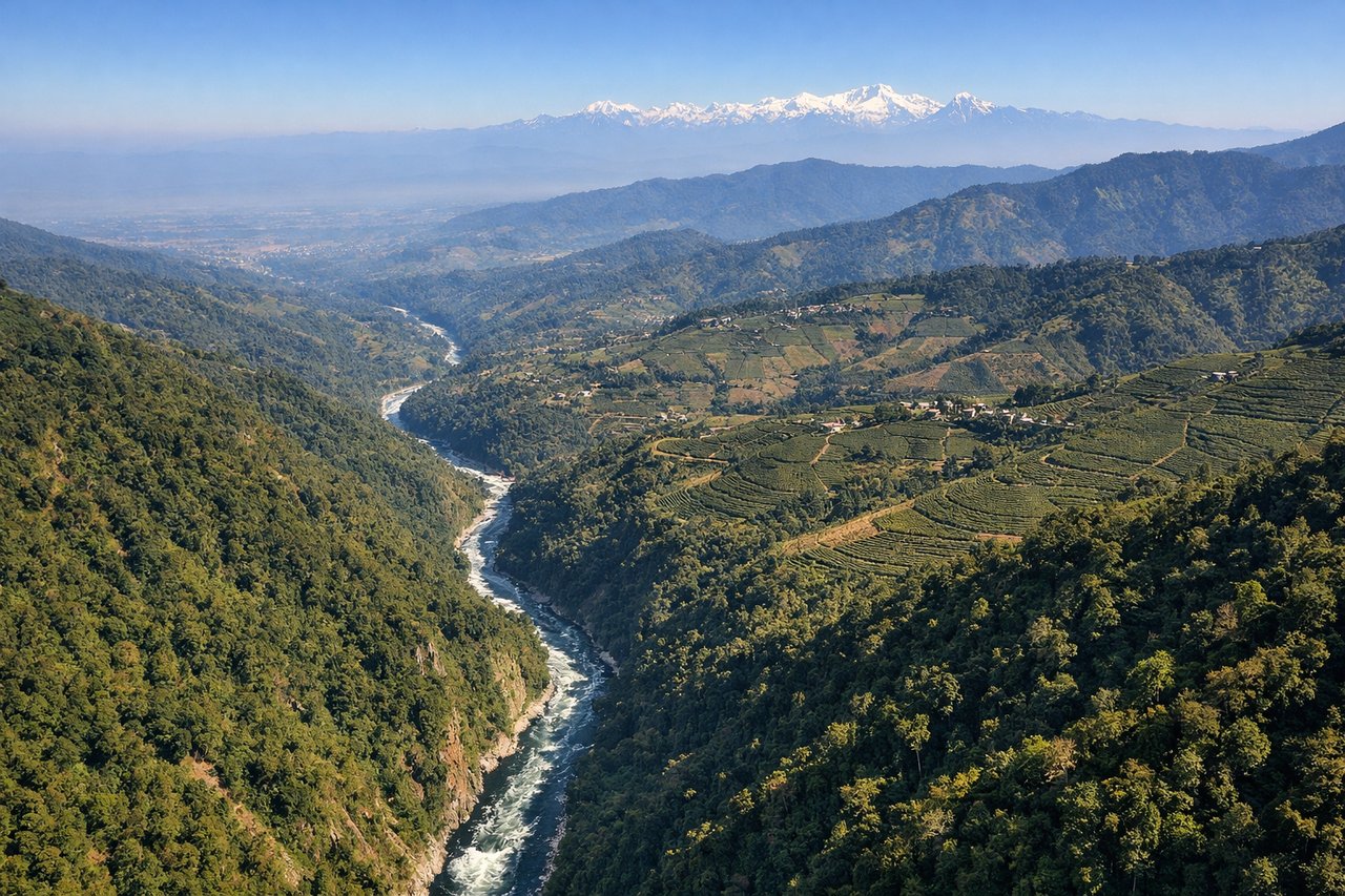
Takeoff from IXB
RIGHTBagdogra sits right at the base of the Himalayan foothills, and on climb-out the right side offers a dramatic view north toward the Darjeeling hills and, on clear days, distant snow peaks including Kanchenjunga. The left side shows only the flat Terai plains stretching south.
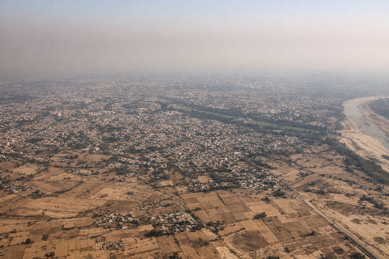
Landing at DEL
RIGHTAs the aircraft descends into Delhi from the northeast, the right side retains a view of the Yamuna River winding through the city's northern districts before the flat approach over dense urban sprawl. The left side mostly shows featureless agricultural plains with no distinguishing landmarks.
Landmarks on this routeAll landmarks →
Will your flight be in sunlight?
See exactly which side of the plane gets sun and shade at your departure time.
About This Route
Which side of the plane should I sit on flying from Bagdogra (IXB) to Indira Gandhi International (DEL)?
Sit on the Right side of the plane for the best views on flights from Baghdogra to Delhi. The right side wins because it captures the only dramatic terrain on this route — the Himalayan foothills and distant snow peaks near Bagdogra — while the rest of the flight over the Gangetic plain is largely flat and featureless on both sides.
What can I see during takeoff from Bagdogra in Baghdogra?
During takeoff from Bagdogra (IXB), sit on the Right side for the best views. Bagdogra sits right at the base of the Himalayan foothills, and on climb-out the right side offers a dramatic view north toward the Darjeeling hills and, on clear days, distant snow peaks including Kanchenjunga. The left side shows only the flat Terai plains stretching south. Notable sights include: Darjeeling foothills, Kanchenjunga massif (distant), Teesta River, Terai plains.
What can I see when landing at Indira Gandhi International in Delhi?
When landing at Indira Gandhi International (DEL), sit on the Right side for the best views. As the aircraft descends into Delhi from the northeast, the right side retains a view of the Yamuna River winding through the city's northern districts before the flat approach over dense urban sprawl. The left side mostly shows featureless agricultural plains with no distinguishing landmarks. Notable sights include: Yamuna River, Delhi urban sprawl, agricultural checkerboard fields.
How long is the flight from Baghdogra to Delhi?
The flight from Bagdogra (IXB) to Indira Gandhi International (DEL) takes 1h 45m.
What does the Baghdogra to Delhi flight path pass over?
Gangetic plain, Ganges River tributaries, agricultural lowlands of Bihar and Uttar Pradesh