Right-side seats capture the most dramatic geography: the Himalayan foothills and Teesta valley on departure are far more visually distinctive than the flat plains on the left. While the landing favors left for coastal views, the takeoff advantage is more pronounced.
Flight Path
The flight path crosses central India at cruise altitude. Notable features include the Deccan Plateau (visible as a broad, elevated terrain with scattered lakes and reservoirs), the Godavari River valley (appears as a darker linear feature in the landscape), and the Western Ghats mountain range (a north-south trending ridge visible on the left/western side during cruise, appearing as a subtle elevation change in the terrain rather than dramatic peaks at this altitude). The landscape transitions from the green, water-rich terrain of eastern India to the drier, more arid plateau of central India.
Great circle distance and headings ›Phase by phase
Takeoff from IXB
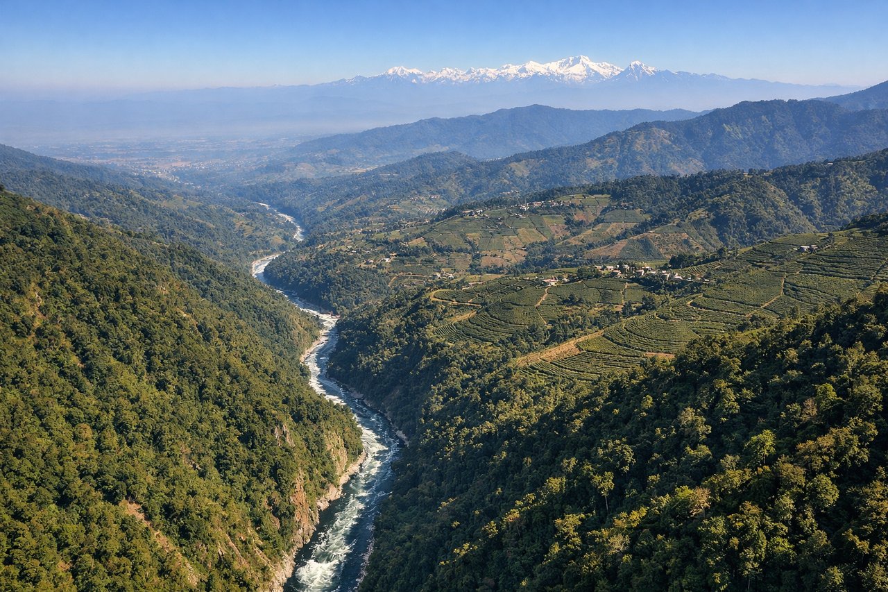
RIGHTBagdogra typically departs eastbound (Runway 10/28 favors 10 for morning departures). Right-side seats face the Eastern Himalayas and the Teesta River valley as you climb, offering the most dramatic topography. Left side shows the flatter Siliguri plains.
Landing at BOM
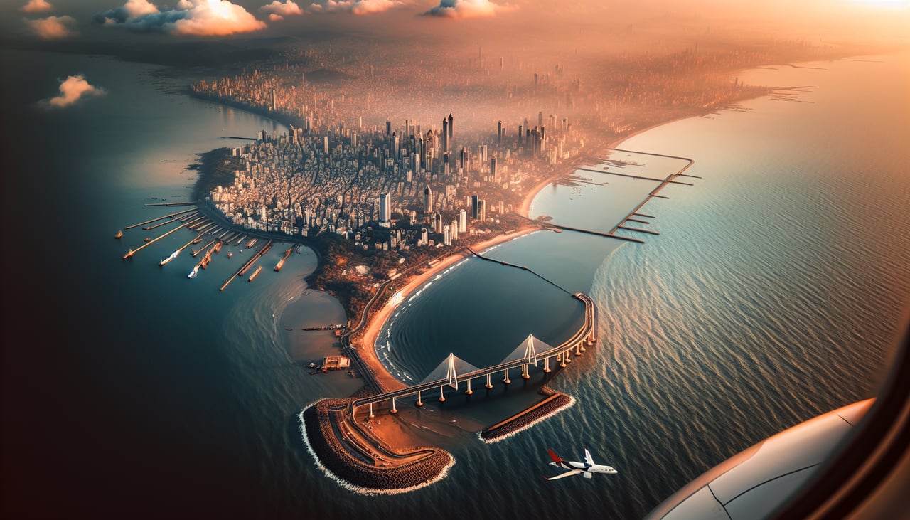
LEFTBombay approaches typically use Runway 09 (westbound final) or 27 (eastbound). For westbound approach (more common for morning/afternoon arrivals from the northeast), left-side seats face the Arabian Sea, Colaba peninsula, and the city's coastal geography. You'll see the harbor, islands, and Mumbai's distinctive waterfront layout.
Will your flight be in sunlight?
See exactly which side of the plane gets sun and shade at your departure time.
About This Route
Which side of the plane should I sit on flying from Bagdogra (IXB) to Chhatrapati Shivaji International (BOM)?
Sit on the Right side of the plane for the best views on flights from Baghdogra to Bombay. Right-side seats capture the most dramatic geography: the Himalayan foothills and Teesta valley on departure are far more visually distinctive than the flat plains on the left. While the landing favors left for coastal views, the takeoff advantage is more pronounced.
What can I see during takeoff from Bagdogra in Baghdogra?
During takeoff from Bagdogra (IXB), sit on the Right side for the best views. Bagdogra typically departs eastbound (Runway 10/28 favors 10 for morning departures). Right-side seats face the Eastern Himalayas and the Teesta River valley as you climb, offering the most dramatic topography. Left side shows the flatter Siliguri plains. Notable sights include: Eastern Himalayas (Kanchenjunga massif distant on horizon), Teesta River gorge cutting through foothills, Siliguri city sprawl below, tea plantations on lower slopes.
What can I see when landing at Chhatrapati Shivaji International in Bombay?
When landing at Chhatrapati Shivaji International (BOM), sit on the Left side for the best views. Bombay approaches typically use Runway 09 (westbound final) or 27 (eastbound). For westbound approach (more common for morning/afternoon arrivals from the northeast), left-side seats face the Arabian Sea, Colaba peninsula, and the city's coastal geography. You'll see the harbor, islands, and Mumbai's distinctive waterfront layout. Notable sights include: Arabian Sea (entire western horizon), Colaba peninsula and Gateway of India area, Back Bay and Marine Drive curve, Elephanta Island in the harbor mouth.
How long is the flight from Baghdogra to Bombay?
The flight from Bagdogra (IXB) to Chhatrapati Shivaji International (BOM) takes Approximately 2 hours 15 minutes.
What does the Baghdogra to Bombay flight path pass over?
The flight path crosses central India at cruise altitude. Notable features include the Deccan Plateau (visible as a broad, elevated terrain with scattered lakes and reservoirs), the Godavari River valley (appears as a darker linear feature in the landscape), and the Western Ghats mountain range (a north-south trending ridge visible on the left/western side during cruise, appearing as a subtle elevation change in the terrain rather than dramatic peaks at this altitude). The landscape transitions from the green, water-rich terrain of eastern India to the drier, more arid plateau of central India.