While both sides score equally at 2.0 due to the short flight duration and predominantly flat terrain, the left side provides superior landing scenery with the Hooghly River estuary and Kolkata's urban landscape. The right side's takeoff advantage (Brahmaputra River views) is outweighed by the left side's more dramatic arrival experience over a major river delta and India's third-largest metropolitan area.
Flown IXS to CCU? Did we get it right?
Flight Path
Silchar to Calcutta is 326 miles (525 km), a flight of about 1 hour 15 minutes.
The flight path crosses the Assam plains and Meghalaya plateau region. Notable features include the Barak River valley (tributary system feeding the Brahmaputra), scattered tea estates and agricultural land throughout Assam, and the transition zone where the Gangetic plains begin. The Khasi Hills form a distant landmark to the south during cruise, though typically not prominent from cruising altitude. The Brahmaputra's main channel and its extensive floodplain dominate the northern portion of the route. As the aircraft descends toward Kolkata, the landscape flattens into the Gangetic delta with increasing urbanization and the Hooghly River system becoming visible.
Great circle distance and headings ›Phase by phase
Takeoff from IXS
RIGHTRight side captures the Brahmaputra River valley and surrounding tea plantation terrain during initial climb. Left side faces open plains with minimal visual interest during departure.
Landing at CCU
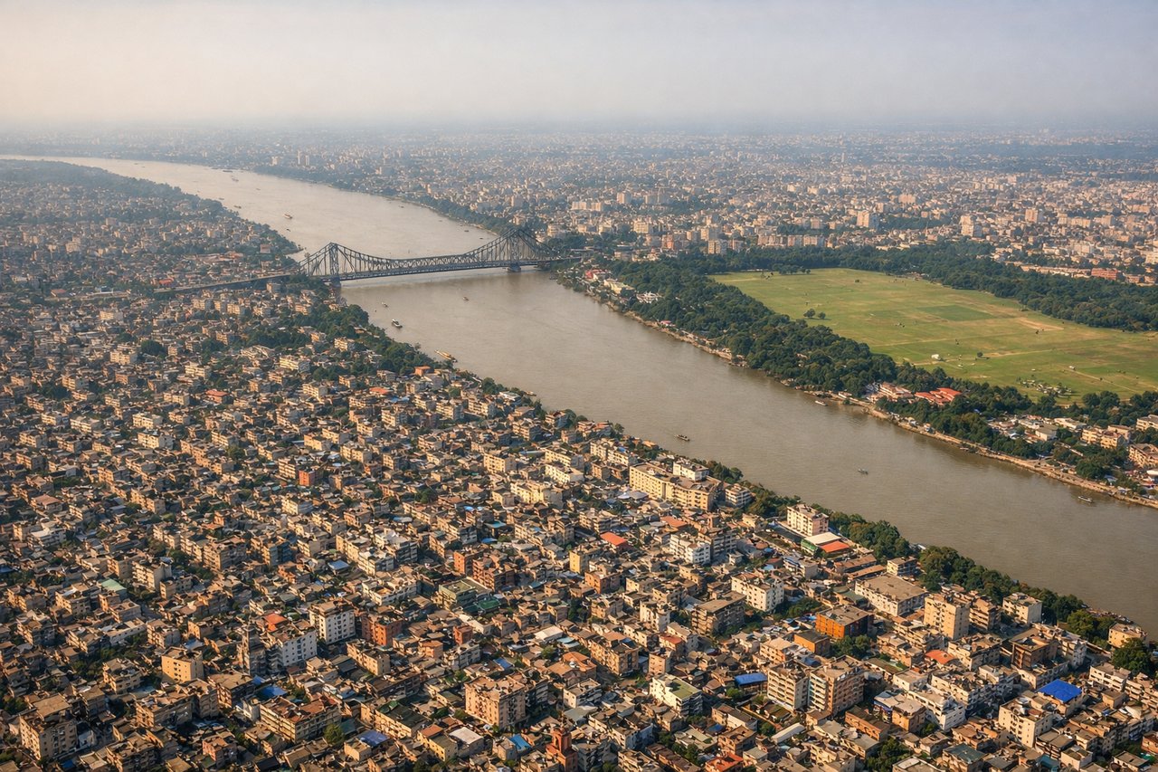
LEFTLeft side offers views of the Hooghly River estuary, Kolkata's urban sprawl, and the Sundarbans delta region during descent and approach. Right side faces open water and industrial areas with less scenic variety.
Will your flight be in sunlight?
Pick a date and time in the Sun Map to watch the sun move across your whole flight.
About This Route
Which side of the plane should I sit on flying from Silchar (IXS) to Netaji Subhash Chandra Bose International (CCU)?
Sit on the Left side of the plane for the best views on flights from Silchar to Calcutta. While both sides score equally at 2.0 due to the short flight duration and predominantly flat terrain, the left side provides superior landing scenery with the Hooghly River estuary and Kolkata's urban landscape. The right side's takeoff advantage (Brahmaputra River views) is outweighed by the left side's more dramatic arrival experience over a major river delta and India's third-largest metropolitan area.
What can I see during takeoff from Silchar in Silchar?
During takeoff from Silchar (IXS), sit on the Right side for the best views. Right side captures the Brahmaputra River valley and surrounding tea plantation terrain during initial climb. Left side faces open plains with minimal visual interest during departure. Notable sights include: Brahmaputra River (visible as a broad, meandering watercourse), Silchar city grid, tea estates and agricultural patchwork of Assam valley.
What can I see when landing at Netaji Subhash Chandra Bose International in Calcutta?
When landing at Netaji Subhash Chandra Bose International (CCU), sit on the Left side for the best views. Left side offers views of the Hooghly River estuary, Kolkata's urban sprawl, and the Sundarbans delta region during descent and approach. Right side faces open water and industrial areas with less scenic variety. Notable sights include: Hooghly River (main channel and tributaries), Kolkata city skyline and urban grid, Sundarbans mangrove delta region, industrial zones along the river.
How long is the flight from Silchar to Calcutta?
The flight from Silchar (IXS) to Netaji Subhash Chandra Bose International (CCU) takes about 1 hour 15 minutes. The shortest flight path between them is 326 miles (525 km); winds and air traffic control usually add a few percent.
What does the Silchar to Calcutta flight path pass over?
The flight path crosses the Assam plains and Meghalaya plateau region. Notable features include the Barak River valley (tributary system feeding the Brahmaputra), scattered tea estates and agricultural land throughout Assam, and the transition zone where the Gangetic plains begin. The Khasi Hills form a distant landmark to the south during cruise, though typically not prominent from cruising altitude. The Brahmaputra's main channel and its extensive floodplain dominate the northern portion of the route. As the aircraft descends toward Kolkata, the landscape flattens into the Gangetic delta with increasing urbanization and the Hooghly River system becoming visible.