Jeddah to Cairo is 756 miles (1,216 km), a flight of about 1 hour 55 minutes.
Right seats capture the most dramatic geography: the Red Sea and Hijaz Mountains on departure, then the Nile valley's green corridor and Cairo's urban-desert contrast on arrival. The flight path itself runs roughly north-northwest, so right-side views frame the most visually distinctive terrain transitions.
Flight Path
The flight crosses the Red Sea's northern reaches and enters Egyptian airspace over the Eastern Desert plateau—a vast, barren expanse of tan and rust-colored rock with scattered wadis. The Sinai Peninsula lies to the east (right) during cruise, appearing as a low, rocky desert. As you approach Cairo, the Nile valley becomes visible as a thin green line cutting through the desert, widening as it approaches the delta. The Western Desert (Libyan Desert) extends west of the Nile—an endless tan plateau with minimal relief.
Great circle distance and headings ›
.jpg?width=600)

Phase by phase

Takeoff from JED
RIGHTRight seats offer views of the Red Sea's eastern shoreline and the Hijaz Mountains as you climb northward. The terrain rises dramatically inland, creating strong visual contrast against the coastal plain where JED sits.
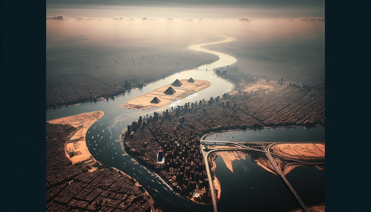
Landing at CAI
LEFTLeft seats provide the best view of Cairo's Nile River valley and the city's eastern sprawl during descent on typical eastbound approach vectors. The Nile's distinctive green ribbon and the stark desert-to-urban transition are dramatic from this angle.
Landmarks on this routeAll landmarks →
Will your flight be in sunlight?
Pick a date and time in the Sun Map to watch the sun move across your whole flight.
About This Route
Which side of the plane should I sit on flying from King Abdulaziz International (JED) to Cairo International (CAI)?
Sit on the Right side of the plane for the best views on flights from Jeddah to Cairo. Right seats capture the most dramatic geography: the Red Sea and Hijaz Mountains on departure, then the Nile valley's green corridor and Cairo's urban-desert contrast on arrival. The flight path itself runs roughly north-northwest, so right-side views frame the most visually distinctive terrain transitions.
What can I see during takeoff from King Abdulaziz International in Jeddah?
During takeoff from King Abdulaziz International (JED), sit on the Right side for the best views. Right seats offer views of the Red Sea's eastern shoreline and the Hijaz Mountains as you climb northward. The terrain rises dramatically inland, creating strong visual contrast against the coastal plain where JED sits. Notable sights include: Red Sea (western edge of frame), Hijaz Mountains (eastern horizon), Jeddah urban sprawl (directly below during initial climb), coastal salt flats and lagoons (immediate vicinity).
What can I see when landing at Cairo International in Cairo?
When landing at Cairo International (CAI), sit on the Left side for the best views. Left seats provide the best view of Cairo's Nile River valley and the city's eastern sprawl during descent on typical eastbound approach vectors. The Nile's distinctive green ribbon and the stark desert-to-urban transition are dramatic from this angle. Notable sights include: Nile River and its delta vegetation (bright green corridor), Cairo's urban districts (Helwan, Maadi, eastern suburbs), Eastern Desert plateau (tan and rocky, east of the city), Giza Plateau area (western side, visible as elevated terrain).
How long is the flight from Jeddah to Cairo?
The flight from King Abdulaziz International (JED) to Cairo International (CAI) takes about 1 hour 55 minutes. The shortest flight path between them is 756 miles (1,216 km); winds and air traffic control usually add a few percent.
What does the Jeddah to Cairo flight path pass over?
The flight crosses the Red Sea's northern reaches and enters Egyptian airspace over the Eastern Desert plateau—a vast, barren expanse of tan and rust-colored rock with scattered wadis. The Sinai Peninsula lies to the east (right) during cruise, appearing as a low, rocky desert. As you approach Cairo, the Nile valley becomes visible as a thin green line cutting through the desert, widening as it approaches the delta. The Western Desert (Libyan Desert) extends west of the Nile—an endless tan plateau with minimal relief.