Juneau to Anchorage is 569 miles (916 km), a flight of about 1 hour 25 minutes.
The right side dominates both ends of the flight: glaciated Coast Mountains and Mendenhall Glacier at takeoff, and a potential Denali sighting plus the Talkeetna Mountains on arrival, while the left side mostly faces open water and flatter coastal terrain for the bulk of the route.
Flight Path
Gulf of Alaska coastline, St. Elias Mountains including Mount St. Elias, Malaspina Glacier, Prince William Sound
Great circle distance and headings ›


Phase by phase
Takeoff from JNU
RIGHTDeparting Juneau, the aircraft climbs out along Gastineau Channel and typically turns north toward Lynn Canal, putting the Coast Mountains and Mendenhall Glacier on the right while Douglas Island and open channel water sit on the left. The right side keeps the ice-capped peaks and glacier tongue in view longer during the climb.
Landing at ANC
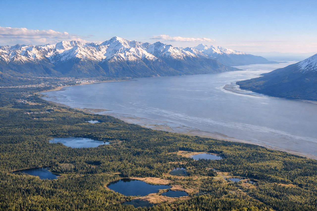
RIGHTOn the descent into Anchorage, the flight path from the east swings over the Knik Arm area before final approach, putting the Talkeetna Mountains and the distant bulk of Denali on the right side on a clear day, while the left shows the flatter Cook Inlet mudflats. The right side offers the rare chance to see North America's tallest peak during a routine descent.
Landmarks on this routeAll landmarks →
Will your flight be in sunlight?
Pick a date and time in the Sun Map to watch the sun move across your whole flight.
About This Route
Which side of the plane should I sit on flying from Juneau International (JNU) to Ted Stevens Anchorage International (ANC)?
Sit on the Right side of the plane for the best views on flights from Juneau to Anchorage. The right side dominates both ends of the flight: glaciated Coast Mountains and Mendenhall Glacier at takeoff, and a potential Denali sighting plus the Talkeetna Mountains on arrival, while the left side mostly faces open water and flatter coastal terrain for the bulk of the route.
What can I see during takeoff from Juneau International in Juneau?
During takeoff from Juneau International (JNU), sit on the Right side for the best views. Departing Juneau, the aircraft climbs out along Gastineau Channel and typically turns north toward Lynn Canal, putting the Coast Mountains and Mendenhall Glacier on the right while Douglas Island and open channel water sit on the left. The right side keeps the ice-capped peaks and glacier tongue in view longer during the climb. Notable sights include: Mendenhall Glacier, Coast Mountains, Mount Juneau, Gastineau Channel.
What can I see when landing at Ted Stevens Anchorage International in Anchorage?
When landing at Ted Stevens Anchorage International (ANC), sit on the Right side for the best views. On the descent into Anchorage, the flight path from the east swings over the Knik Arm area before final approach, putting the Talkeetna Mountains and the distant bulk of Denali on the right side on a clear day, while the left shows the flatter Cook Inlet mudflats. The right side offers the rare chance to see North America's tallest peak during a routine descent. Notable sights include: Denali (weather permitting), Talkeetna Mountains, Knik Arm, Chugach Mountains foothills.
How long is the flight from Juneau to Anchorage?
The flight from Juneau International (JNU) to Ted Stevens Anchorage International (ANC) takes about 1 hour 25 minutes. The shortest flight path between them is 569 miles (916 km); winds and air traffic control usually add a few percent.
What does the Juneau to Anchorage flight path pass over?
Gulf of Alaska coastline, St. Elias Mountains including Mount St. Elias, Malaspina Glacier, Prince William Sound