The left side bookends a long ocean crossing with genuine terrain: Kobe and the Kii Peninsula at departure, then the Los Angeles basin and San Gabriel Mountains at arrival, while the right side sees mostly open Pacific water throughout the flight.
Flight Path
The great-circle route runs well north of the direct line, crossing the open North Pacific south of the Aleutian Islands near the International Date Line, with no land visible for several hours before the aircraft picks up the North American coastline near British Columbia or the Pacific Northwest.
Great circle distance and headings ›Phase by phase
Takeoff from KIX
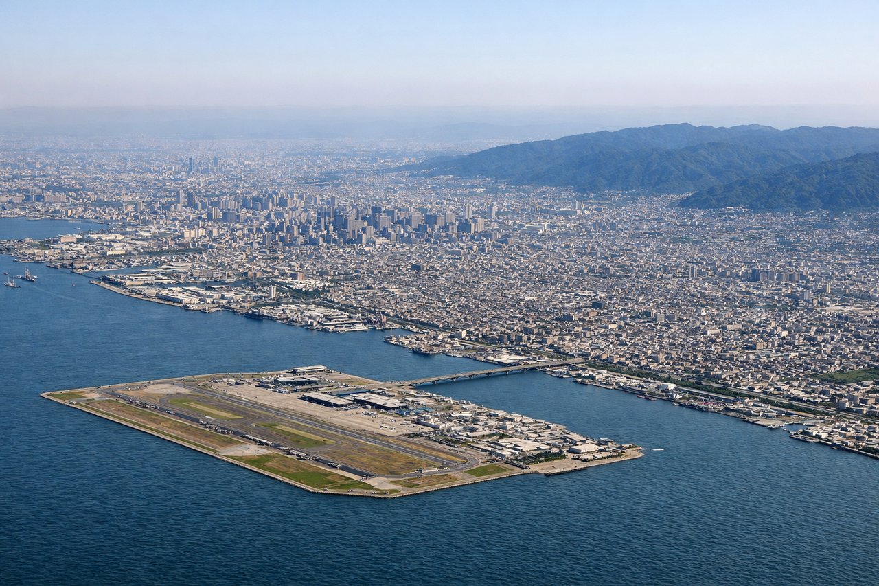
LEFTClimbing out of KIX's man-made island in Osaka Bay, the left side faces north toward Kobe's harbor and the Rokko mountain wall, with the Kii Peninsula's forested peaks visible as the aircraft continues its climb over Honshu toward the Pacific. The right side mostly shows open water in the Kii Channel and Awaji Island with less terrain relief.
Landing at LAX
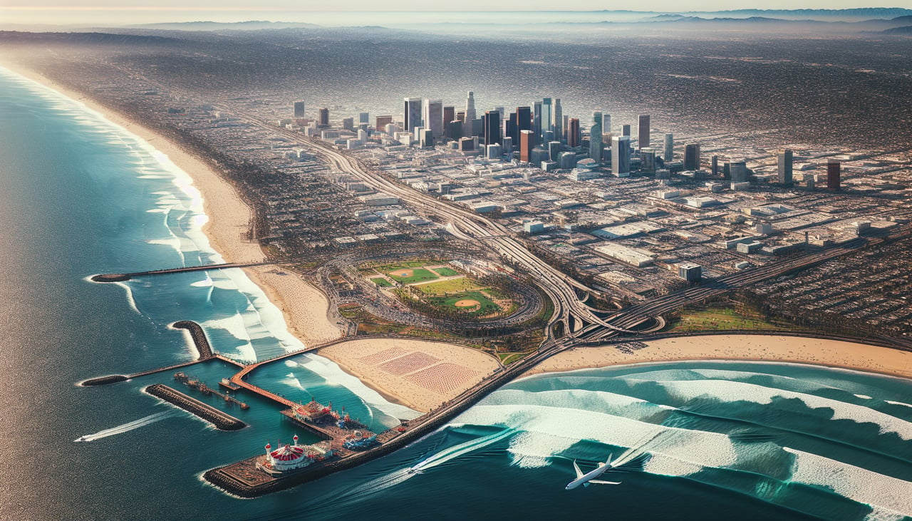
LEFTOn the descent into LAX, the routing down the California coast keeps the Transverse Ranges and San Gabriel Mountains on the left, with the Los Angeles basin and downtown skyline visible before the final turn toward the ocean. The right side spends more time over the Pacific and the flatter South Bay coastline.
Landmarks on this routeAll landmarks →
Will your flight be in sunlight?
See exactly which side of the plane gets sun and shade at your departure time.
About This Route
Which side of the plane should I sit on flying from Kansai International (KIX) to Los Angeles International (LAX)?
Sit on the Left side of the plane for the best views on flights from Osaka to Los Angeles. The left side bookends a long ocean crossing with genuine terrain: Kobe and the Kii Peninsula at departure, then the Los Angeles basin and San Gabriel Mountains at arrival, while the right side sees mostly open Pacific water throughout the flight.
What can I see during takeoff from Kansai International in Osaka?
During takeoff from Kansai International (KIX), sit on the Left side for the best views. Climbing out of KIX's man-made island in Osaka Bay, the left side faces north toward Kobe's harbor and the Rokko mountain wall, with the Kii Peninsula's forested peaks visible as the aircraft continues its climb over Honshu toward the Pacific. The right side mostly shows open water in the Kii Channel and Awaji Island with less terrain relief. Notable sights include: Osaka Bay, Kobe cityscape and Rokko mountains, Kii Peninsula highlands, Awaji Island in the distance.
What can I see when landing at Los Angeles International in Los Angeles?
When landing at Los Angeles International (LAX), sit on the Left side for the best views. On the descent into LAX, the routing down the California coast keeps the Transverse Ranges and San Gabriel Mountains on the left, with the Los Angeles basin and downtown skyline visible before the final turn toward the ocean. The right side spends more time over the Pacific and the flatter South Bay coastline. Notable sights include: San Gabriel Mountains, Los Angeles skyline and basin, Santa Monica Bay, Palos Verdes Peninsula.
How long is the flight from Osaka to Los Angeles?
The flight from Kansai International (KIX) to Los Angeles International (LAX) takes 10h 45m.
What does the Osaka to Los Angeles flight path pass over?
The great-circle route runs well north of the direct line, crossing the open North Pacific south of the Aleutian Islands near the International Date Line, with no land visible for several hours before the aircraft picks up the North American coastline near British Columbia or the Pacific Northwest.