The right side wins both takeoff and landing with genuine landmark density — Osaka Bay's urban coastline at departure and the Golden Gate Bridge/San Francisco skyline at arrival — while the long mid-Pacific cruise offers little differentiation between sides.
Flight Path
Northern Pacific Ocean, Aleutian Island chain, Gulf of Alaska, occasional glimpses of the Alaskan and British Columbia coastline before descent into California
Great circle distance and headings ›Phase by phase
Takeoff from KIX
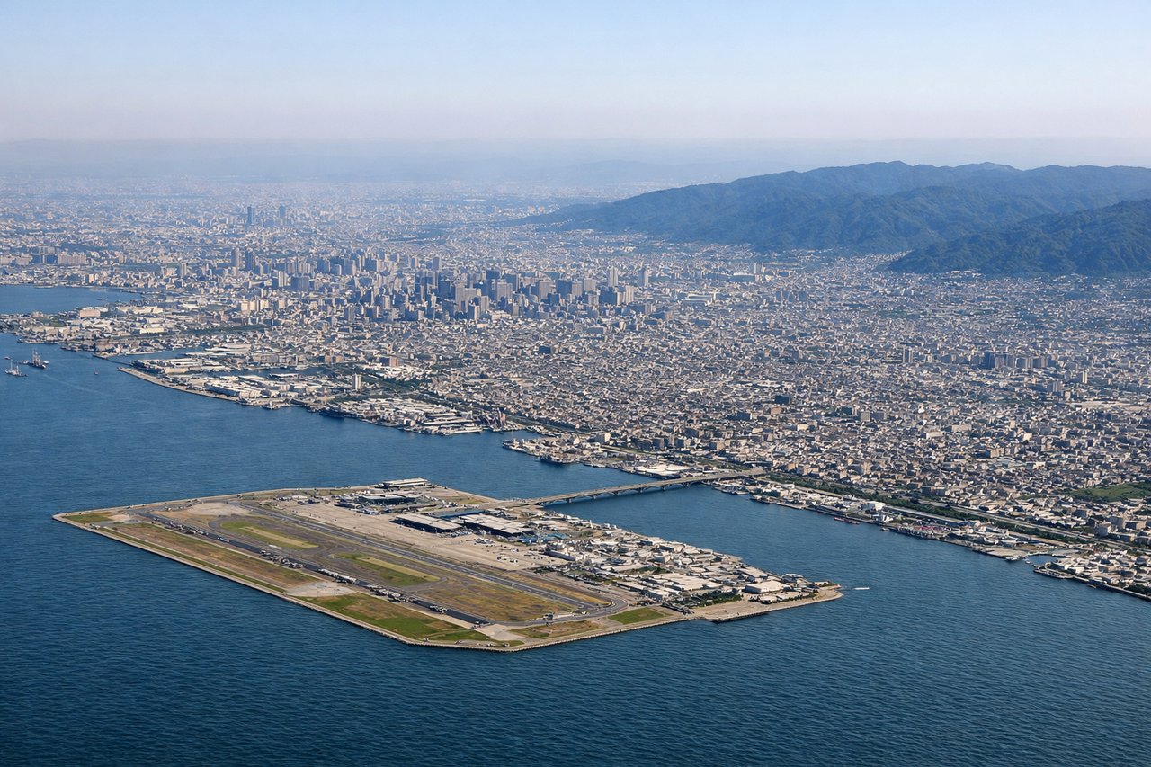
RIGHTDeparting KIX on runway 24 (southwest) then turning north-northeast toward the great-circle route, the right side offers views of Osaka Bay, the Kobe waterfront, and the hills of the Kii Peninsula before the aircraft settles onto its oceanic heading. The left side mostly shows open water in the Kii Channel with less distinct scenery.
Landing at SFO
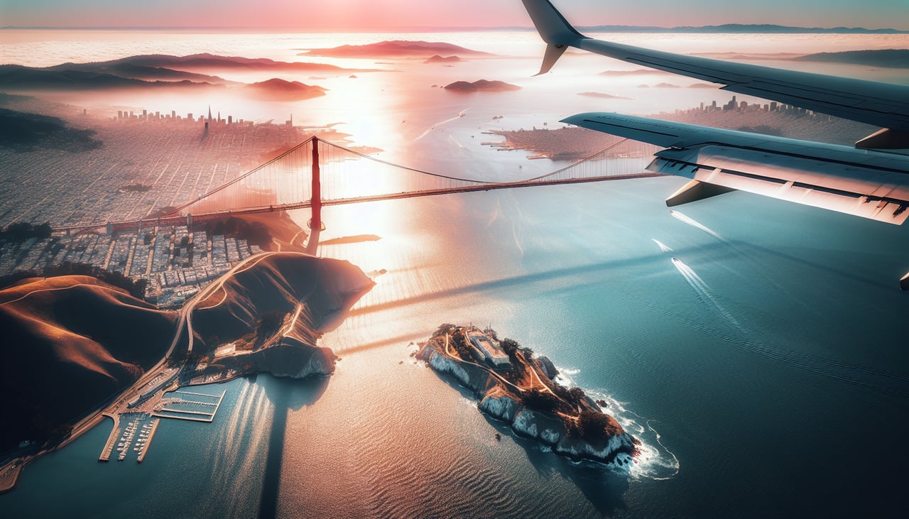
RIGHTArriving from the northern Pacific, flights typically make landfall near Point Reyes and descend over Marin before turning to final approach, putting the Golden Gate Bridge, San Francisco skyline, and the East Bay hills on the right side. The left side mostly faces open ocean or the less distinctive Pacific coastline during this turn.
Landmarks on this routeAll landmarks →
Will your flight be in sunlight?
See exactly which side of the plane gets sun and shade at your departure time.
About This Route
Which side of the plane should I sit on flying from Kansai International (KIX) to San Francisco International (SFO)?
Sit on the Right side of the plane for the best views on flights from Osaka to San Francisco. The right side wins both takeoff and landing with genuine landmark density — Osaka Bay's urban coastline at departure and the Golden Gate Bridge/San Francisco skyline at arrival — while the long mid-Pacific cruise offers little differentiation between sides.
What can I see during takeoff from Kansai International in Osaka?
During takeoff from Kansai International (KIX), sit on the Right side for the best views. Departing KIX on runway 24 (southwest) then turning north-northeast toward the great-circle route, the right side offers views of Osaka Bay, the Kobe waterfront, and the hills of the Kii Peninsula before the aircraft settles onto its oceanic heading. The left side mostly shows open water in the Kii Channel with less distinct scenery. Notable sights include: Osaka Bay, Kobe cityscape, Awaji Island, Kii Peninsula coastline.
What can I see when landing at San Francisco International in San Francisco?
When landing at San Francisco International (SFO), sit on the Right side for the best views. Arriving from the northern Pacific, flights typically make landfall near Point Reyes and descend over Marin before turning to final approach, putting the Golden Gate Bridge, San Francisco skyline, and the East Bay hills on the right side. The left side mostly faces open ocean or the less distinctive Pacific coastline during this turn. Notable sights include: Golden Gate Bridge, San Francisco skyline, San Francisco Bay, Marin Headlands.
How long is the flight from Osaka to San Francisco?
The flight from Kansai International (KIX) to San Francisco International (SFO) takes 10h 05m.
What does the Osaka to San Francisco flight path pass over?
Northern Pacific Ocean, Aleutian Island chain, Gulf of Alaska, occasional glimpses of the Alaskan and British Columbia coastline before descent into California