The right side captures the dramatic Karawanken Mountains during takeoff and maintains views of the Alpine foothills throughout the 60-minute flight. While the left side offers the Danube approach, the right side provides more visually distinctive terrain for the majority of the journey.
Flown KLU to VIE? Did we get it right?
Flight Path
Klagenfurt to Vienna is 146 miles (234 km), a flight of about 1 hour.
The flight path crosses the Slovenian-Austrian border and traverses the Styrian Basin. Notable midpoint features include the Sava River valley (visible to the right/south), the Styrian hills and forested terrain, and the transition from Alpine foothills to the Vienna Basin. The Mur River valley may be visible on the left side during cruise. The flight generally maintains a northeasterly heading, with the Eastern Alps visible on the right throughout the cruise phase.
Great circle distance and headings ›Phase by phase
Takeoff from KLU
RIGHTRight side offers immediate views of the Karawanken Mountains to the south and the Klagenfurt Basin. The left side faces northwest toward less dramatic terrain during the initial climb-out.
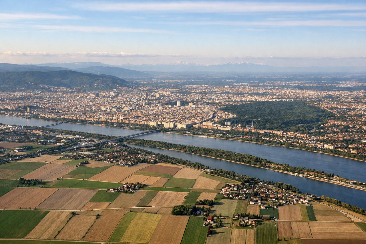
Landing at VIE
LEFTLeft side provides views of the Danube River valley approach and the Vienna Basin terrain during descent. The right side faces away from the primary descent corridor into Schwechat.
Will your flight be in sunlight?
Pick a date and time in the Sun Map to watch the sun move across your whole flight.
About This Route
Which side of the plane should I sit on flying from Klagenfurt(aus-afb) (KLU) to Schwechat (VIE)?
Sit on the Right side of the plane for the best views on flights from Klagenfurt to Vienna. The right side captures the dramatic Karawanken Mountains during takeoff and maintains views of the Alpine foothills throughout the 60-minute flight. While the left side offers the Danube approach, the right side provides more visually distinctive terrain for the majority of the journey.
What can I see during takeoff from Klagenfurt(aus-afb) in Klagenfurt?
During takeoff from Klagenfurt(aus-afb) (KLU), sit on the Right side for the best views. Right side offers immediate views of the Karawanken Mountains to the south and the Klagenfurt Basin. The left side faces northwest toward less dramatic terrain during the initial climb-out. Notable sights include: Karawanken Mountains (southern border range), Wörthersee (large glacial lake immediately west of airport), Klagenfurt city grid, Klagenfurt Basin floor.
What can I see when landing at Schwechat in Vienna?
When landing at Schwechat (VIE), sit on the Left side for the best views. Left side provides views of the Danube River valley approach and the Vienna Basin terrain during descent. The right side faces away from the primary descent corridor into Schwechat. Notable sights include: Danube River (major waterway visible in lower Morava valley section), Vienna Basin (flat agricultural terrain), Carpathian foothills (distant northeastern horizon), Schwechat industrial zone and airport approach.
How long is the flight from Klagenfurt to Vienna?
The flight from Klagenfurt(aus-afb) (KLU) to Schwechat (VIE) takes about 1 hour. The shortest flight path between them is 146 miles (234 km); winds and air traffic control usually add a few percent.
What does the Klagenfurt to Vienna flight path pass over?
The flight path crosses the Slovenian-Austrian border and traverses the Styrian Basin. Notable midpoint features include the Sava River valley (visible to the right/south), the Styrian hills and forested terrain, and the transition from Alpine foothills to the Vienna Basin. The Mur River valley may be visible on the left side during cruise. The flight generally maintains a northeasterly heading, with the Eastern Alps visible on the right throughout the cruise phase.