Kosice to Los Angeles is 6,212 miles (9,997 km), a flight of about 12 hours.
While the takeoff offers mountain scenery, the landing descent into LAX provides more dramatic and varied views: the San Gabriel Mountains, the massive Los Angeles urban landscape, and the Pacific coastline. The approach is visually more rewarding than the departure.
Flight Path
The flight path crosses the Atlantic over Greenland's southern coast and Canadian Arctic islands, then descends over the Rocky Mountains (visible from altitude: the Canadian Rockies near Alberta, then the US Rockies in Montana and Wyoming). The Great Plains of the central United States stretch for hours with minimal dramatic features. The Sierra Nevada and Cascade ranges become visible as the aircraft approaches the Pacific coast. No single midpoint landmark dominates, but the transition from Atlantic to North American terrain and the final approach over the western mountain ranges are the most visually significant portions of the journey.
Great circle distance and headings ›


.jpg?width=600)
.jpg?width=600)


.jpg?width=600)
Phase by phase
Takeoff from KSC
RIGHTEastbound departure from Košice climbs over the Low Tatras and Slovak Ore Mountains to the south and southeast. Right-side seats capture the dramatic ridge lines and valleys of these ranges as the aircraft gains altitude.
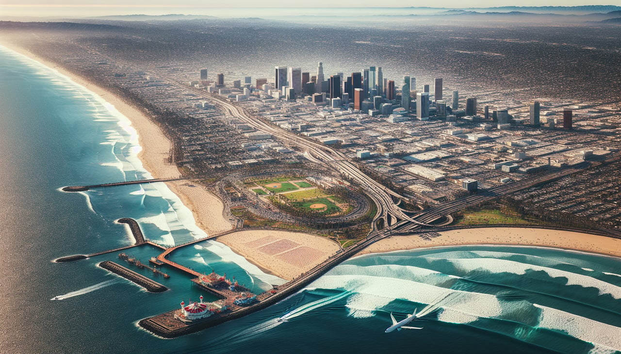
Landing at LAX
LEFTWestbound descent into LAX approaches from the east over the San Gabriel Mountains and Los Angeles Basin. Left-side seats offer views of the mountain range, the sprawling city grid, and the Pacific coastline as the aircraft descends toward the airport.
Landmarks on this routeAll landmarks →
Will your flight be in sunlight?
Pick a date and time in the Sun Map to watch the sun move across your whole flight.
About This Route
Which side of the plane should I sit on flying from Kosice (KSC) to Los Angeles International (LAX)?
Sit on the Left side of the plane for the best views on flights from Kosice to Los Angeles. While the takeoff offers mountain scenery, the landing descent into LAX provides more dramatic and varied views: the San Gabriel Mountains, the massive Los Angeles urban landscape, and the Pacific coastline. The approach is visually more rewarding than the departure.
What can I see during takeoff from Kosice in Kosice?
During takeoff from Kosice (KSC), sit on the Right side for the best views. Eastbound departure from Košice climbs over the Low Tatras and Slovak Ore Mountains to the south and southeast. Right-side seats capture the dramatic ridge lines and valleys of these ranges as the aircraft gains altitude. Notable sights include: Low Tatras (Nízke Tatry) to the south, Slovak Ore Mountains (Slovenské rudohorie) to the southeast, Hornád River valley below, Košice city grid receding northward.
What can I see when landing at Los Angeles International in Los Angeles?
When landing at Los Angeles International (LAX), sit on the Left side for the best views. Westbound descent into LAX approaches from the east over the San Gabriel Mountains and Los Angeles Basin. Left-side seats offer views of the mountain range, the sprawling city grid, and the Pacific coastline as the aircraft descends toward the airport. Notable sights include: San Gabriel Mountains to the northeast, Los Angeles Basin urban sprawl, Long Beach and San Pedro Bay to the south, Pacific Ocean coastline.
How long is the flight from Kosice to Los Angeles?
The flight from Kosice (KSC) to Los Angeles International (LAX) takes about 12 hours. The shortest flight path between them is 6,212 miles (9,997 km); winds and air traffic control usually add a few percent.
What does the Kosice to Los Angeles flight path pass over?
The flight path crosses the Atlantic over Greenland's southern coast and Canadian Arctic islands, then descends over the Rocky Mountains (visible from altitude: the Canadian Rockies near Alberta, then the US Rockies in Montana and Wyoming). The Great Plains of the central United States stretch for hours with minimal dramatic features. The Sierra Nevada and Cascade ranges become visible as the aircraft approaches the Pacific coast. No single midpoint landmark dominates, but the transition from Atlantic to North American terrain and the final approach over the western mountain ranges are the most visually significant portions of the journey.