Kosice to Warsaw is 242 miles (390 km), a flight of about 1 hour 15 minutes.
Right-side seats win on takeoff with the dramatic Low Tatras display, and while left wins on landing, the takeoff view is more visually distinctive and geographically significant. The Tatras are a major European mountain range; the Vistula approach is urban but less dramatic.
Flight Path
The flight path crosses the Pieniny Mountains (small limestone range) near the Polish-Slovak border around the Dunajec River Gorge, then continues north over the Masovian Lowlands with scattered lakes and agricultural land. The Bzura River valley becomes visible in the final approach phase. Typical cruising altitude is 25,000-28,000 feet, where individual geographic features become smaller but the overall terrain patterns—mountain ridges, river valleys, and lowland agriculture—remain clearly visible.
Great circle distance and headings ›Phase by phase
Takeoff from KSC
RIGHTKosice typically departs to the north or northeast. Right-side seats capture the Low Tatras mountain range immediately after climb-out, which rises dramatically to the northwest of the airport. The Hornád River valley is also visible below during initial climb.
Landing at WAW
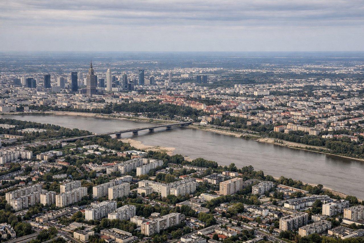
LEFTWarsaw's Okecie typically uses runways 33 or 15 depending on wind. On approach from the south or southeast, left-side seats provide views of the Vistula River as it curves through Warsaw's city center, and the Masovian Lowlands' agricultural patchwork. The Vistula's distinctive meanders are particularly striking during descent.
Will your flight be in sunlight?
Pick a date and time in the Sun Map to watch the sun move across your whole flight.
About This Route
Which side of the plane should I sit on flying from Kosice (KSC) to Okecie (WAW)?
Sit on the Right side of the plane for the best views on flights from Kosice to Warsaw. Right-side seats win on takeoff with the dramatic Low Tatras display, and while left wins on landing, the takeoff view is more visually distinctive and geographically significant. The Tatras are a major European mountain range; the Vistula approach is urban but less dramatic.
What can I see during takeoff from Kosice in Kosice?
During takeoff from Kosice (KSC), sit on the Right side for the best views. Kosice typically departs to the north or northeast. Right-side seats capture the Low Tatras mountain range immediately after climb-out, which rises dramatically to the northwest of the airport. The Hornád River valley is also visible below during initial climb. Notable sights include: Low Tatras (Nízke Tatry) to the northwest, Hornád River valley directly below, Slanské Mountains to the east, Kosice city sprawl beneath.
What can I see when landing at Okecie in Warsaw?
When landing at Okecie (WAW), sit on the Left side for the best views. Warsaw's Okecie typically uses runways 33 or 15 depending on wind. On approach from the south or southeast, left-side seats provide views of the Vistula River as it curves through Warsaw's city center, and the Masovian Lowlands' agricultural patchwork. The Vistula's distinctive meanders are particularly striking during descent. Notable sights include: Vistula River with Warsaw's central districts, Masovian Lowlands agricultural grid, Narew River confluence to the northeast, Warsaw's Old Town and modern skyline.
How long is the flight from Kosice to Warsaw?
The flight from Kosice (KSC) to Okecie (WAW) takes about 1 hour 15 minutes. The shortest flight path between them is 242 miles (390 km); winds and air traffic control usually add a few percent.
What does the Kosice to Warsaw flight path pass over?
The flight path crosses the Pieniny Mountains (small limestone range) near the Polish-Slovak border around the Dunajec River Gorge, then continues north over the Masovian Lowlands with scattered lakes and agricultural land. The Bzura River valley becomes visible in the final approach phase. Typical cruising altitude is 25,000-28,000 feet, where individual geographic features become smaller but the overall terrain patterns—mountain ridges, river valleys, and lowland agriculture—remain clearly visible.