Ketapang to Houston is 9,879 miles (15,899 km), a flight of about 18 hours 45 minutes.
The takeoff from Ketapang offers more distinctive visual interest with the Kapuas River delta and coastal features. While the landing approach to Houston has notable water features, the takeoff scenery is more geographically dramatic and unique.
Flight Path
This ultra-long-range flight crosses the entire Indian Ocean and Atlantic. Notable midpoint geography includes the Maldive Islands (visible around 8-9 hours into flight), the East African coast near Somalia and Kenya (10-12 hours), the Arabian Peninsula and Persian Gulf region (12-14 hours), and eventually the Atlantic crossing with views of North Africa, the Azores, and the eastern seaboard of North America before reaching Houston.
Great circle distance and headings ›


.jpg?width=600)
.jpg?width=600)
Phase by phase
Takeoff from KTG
RIGHTRight side offers views of the Kapuas River delta and Ketapang's coastal wetlands as you climb out over the South China Sea. The left side faces inland toward dense rainforest with minimal visual distinction.
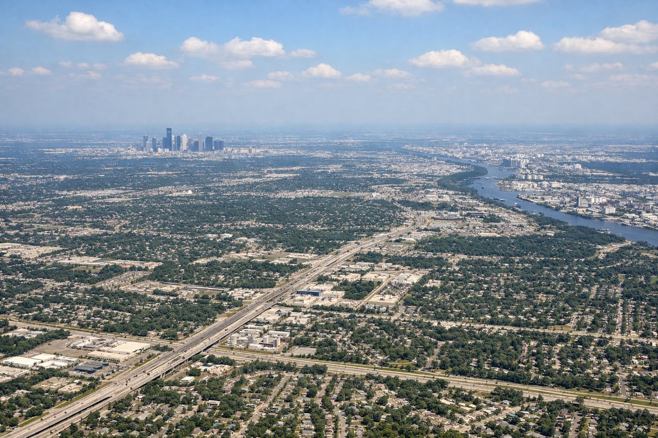
Landing at IAH
LEFTLeft side provides views of the Texas Gulf Coast, Galveston Bay, and the Houston Ship Channel as you descend toward IAH. The right side faces inland over flat, featureless prairie with no distinctive landmarks.
Landmarks on this routeAll landmarks →
Will your flight be in sunlight?
Pick a date and time in the Sun Map to watch the sun move across your whole flight.
About This Route
Which side of the plane should I sit on flying from Rahadi Usman (KTG) to George Bush Intcntl Houston (IAH)?
Sit on the Right side of the plane for the best views on flights from Ketapang to Houston. The takeoff from Ketapang offers more distinctive visual interest with the Kapuas River delta and coastal features. While the landing approach to Houston has notable water features, the takeoff scenery is more geographically dramatic and unique.
What can I see during takeoff from Rahadi Usman in Ketapang?
During takeoff from Rahadi Usman (KTG), sit on the Right side for the best views. Right side offers views of the Kapuas River delta and Ketapang's coastal wetlands as you climb out over the South China Sea. The left side faces inland toward dense rainforest with minimal visual distinction. Notable sights include: Kapuas River delta, South China Sea coastline, Ketapang town grid, coastal mangrove forests.
What can I see when landing at George Bush Intcntl Houston in Houston?
When landing at George Bush Intcntl Houston (IAH), sit on the Left side for the best views. Left side provides views of the Texas Gulf Coast, Galveston Bay, and the Houston Ship Channel as you descend toward IAH. The right side faces inland over flat, featureless prairie with no distinctive landmarks. Notable sights include: Galveston Bay, Houston Ship Channel, Galveston Island barrier island, Brazos River mouth.
How long is the flight from Ketapang to Houston?
The flight from Rahadi Usman (KTG) to George Bush Intcntl Houston (IAH) takes about 18 hours 45 minutes. The shortest flight path between them is 9,879 miles (15,899 km); winds and air traffic control usually add a few percent.
What does the Ketapang to Houston flight path pass over?
This ultra-long-range flight crosses the entire Indian Ocean and Atlantic. Notable midpoint geography includes the Maldive Islands (visible around 8-9 hours into flight), the East African coast near Somalia and Kenya (10-12 hours), the Arabian Peninsula and Persian Gulf region (12-14 hours), and eventually the Atlantic crossing with views of North Africa, the Azores, and the eastern seaboard of North America before reaching Houston.