Both sides score equally at 2.5 due to the route's fundamental geography: LAX-FTW crosses primarily flat to gently rolling terrain (Great Plains) with limited mountain drama. The left side edges ahead slightly because the dramatic Santa Monica Mountains and Pacific coastline during departure provide more visual interest than the right side's inland sprawl, and the full flight experience favors the western departure sequence. The landing approach to FTW is comparable on both sides—neither offers exceptional scenery. This is a fundamentally flat-terrain route with modest scenic value overall.
Flown LAX to FTW? Did we get it right?
Flight Path
Los Angeles to Fort Worth is 1,215 miles (1,955 km), a flight of about 3 hours 45 minutes.
Mojave Desert (eastern California), San Bernardino Mountains (distant southern view during climb), Colorado River valley (Arizona-Nevada border), Lake Mead (northern Nevada), Virgin River canyon (Arizona-Utah border), Colorado Plateau (Utah-Arizona), Painted Desert (Arizona), Petrified Forest (Arizona), Little Colorado River, Mogollon Rim (Arizona), Puerco River, Gallup area (New Mexico), Zuni Mountains (New Mexico), Mount Taylor (New Mexico, 11,301 ft, visible as isolated peak), Grants area (New Mexico), Acoma Pueblo region, Albuquerque basin, Sandia Mountains (eastern New Mexico), Rio Grande valley, Jemez Mountains (northern New Mexico), Canadian River (Texas Panhandle), Palo Duro Canyon (Texas Panhandle, visible as dramatic erosion feature), Llano Estacado (Staked Plains, Texas), Wichita Falls area (Texas), Red River (Texas-Oklahoma border), Fort Worth basin approach
Great circle distance and headings ›Phase by phase
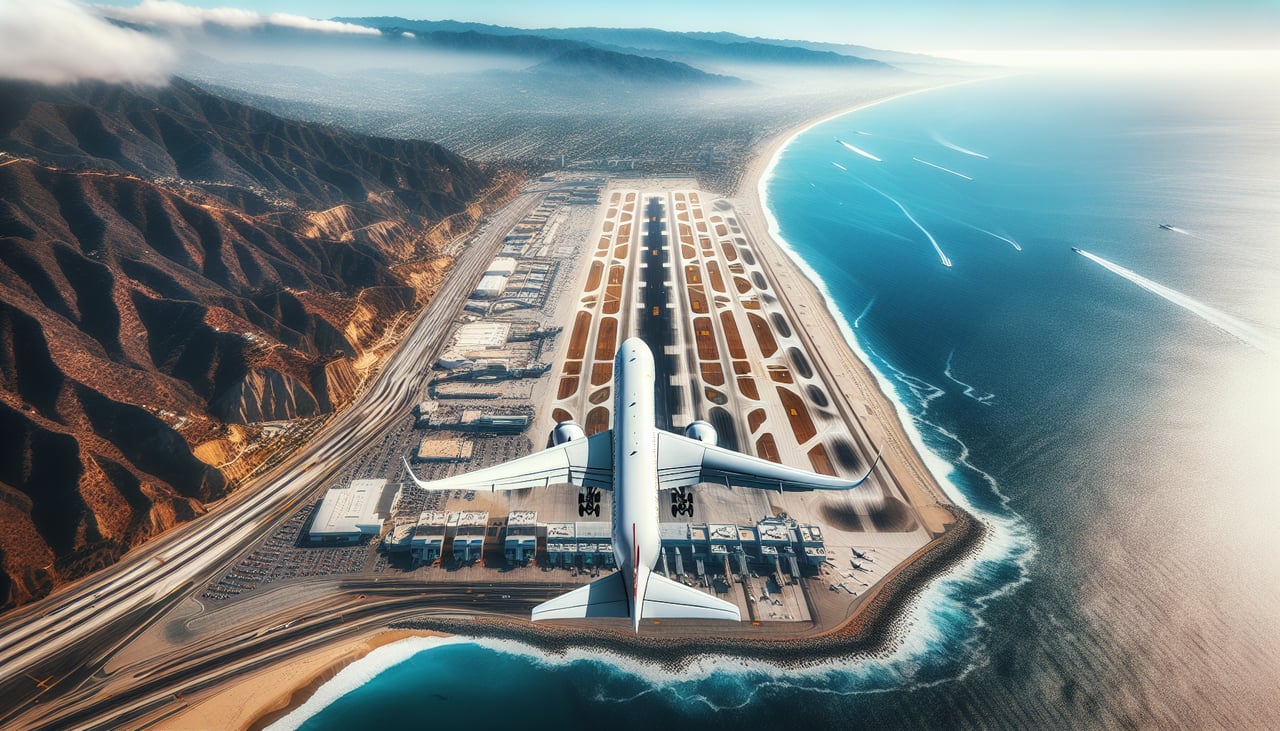
Takeoff from LAX
LEFTLeft side captures the Santa Monica Mountains and Pacific coastline during westbound departure over the ocean before the turn eastward. Right side shows urban sprawl and inland valleys with less dramatic relief.
Landing at FTW
RIGHTRight side (north) offers views of the Fort Worth skyline and Trinity River during the approach to Runway 34 (northbound landing). Left side shows open prairie and industrial areas with minimal visual interest.
Will your flight be in sunlight?
Pick a date and time in the Sun Map to watch the sun move across your whole flight.
About This Route
Which side of the plane should I sit on flying from Los Angeles International (LAX) to Fort Worth Meacham International (FTW)?
Sit on the Left side of the plane for the best views on flights from Los Angeles to Fort Worth. Both sides score equally at 2.5 due to the route's fundamental geography: LAX-FTW crosses primarily flat to gently rolling terrain (Great Plains) with limited mountain drama. The left side edges ahead slightly because the dramatic Santa Monica Mountains and Pacific coastline during departure provide more visual interest than the right side's inland sprawl, and the full flight experience favors the western departure sequence. The landing approach to FTW is comparable on both sides—neither offers exceptional scenery. This is a fundamentally flat-terrain route with modest scenic value overall.
What can I see during takeoff from Los Angeles International in Los Angeles?
During takeoff from Los Angeles International (LAX), sit on the Left side for the best views. Left side captures the Santa Monica Mountains and Pacific coastline during westbound departure over the ocean before the turn eastward. Right side shows urban sprawl and inland valleys with less dramatic relief. Notable sights include: Santa Monica Mountains, Pacific Ocean coastline, Los Angeles basin urban grid, Malibu coast.
What can I see when landing at Fort Worth Meacham International in Fort Worth?
When landing at Fort Worth Meacham International (FTW), sit on the Right side for the best views. Right side (north) offers views of the Fort Worth skyline and Trinity River during the approach to Runway 34 (northbound landing). Left side shows open prairie and industrial areas with minimal visual interest. Notable sights include: Fort Worth downtown skyline, Trinity River, Lake Worth, Meacham International Airport.
How long is the flight from Los Angeles to Fort Worth?
The flight from Los Angeles International (LAX) to Fort Worth Meacham International (FTW) takes about 3 hours 45 minutes. The shortest flight path between them is 1,215 miles (1,955 km); winds and air traffic control usually add a few percent.
What does the Los Angeles to Fort Worth flight path pass over?
Mojave Desert (eastern California), San Bernardino Mountains (distant southern view during climb), Colorado River valley (Arizona-Nevada border), Lake Mead (northern Nevada), Virgin River canyon (Arizona-Utah border), Colorado Plateau (Utah-Arizona), Painted Desert (Arizona), Petrified Forest (Arizona), Little Colorado River, Mogollon Rim (Arizona), Puerco River, Gallup area (New Mexico), Zuni Mountains (New Mexico), Mount Taylor (New Mexico, 11,301 ft, visible as isolated peak), Grants area (New Mexico), Acoma Pueblo region, Albuquerque basin, Sandia Mountains (eastern New Mexico), Rio Grande valley, Jemez Mountains (northern New Mexico), Canadian River (Texas Panhandle), Palo Duro Canyon (Texas Panhandle, visible as dramatic erosion feature), Llano Estacado (Staked Plains, Texas), Wichita Falls area (Texas), Red River (Texas-Oklahoma border), Fort Worth basin approach