The left side captures the two scenic highlights of this flight: the Southern California coastline and Catalina Island during departure, and the dramatic reef, lagoon, and Moorea skyline during arrival into Tahiti, while the right side faces open ocean for both phases.
Flown LAX to PPT? Did we get it right?
Flight Path
Los Angeles to Papeete is 4,108 miles (6,611 km), a flight of about 8 hours 5 minutes.
The route crosses thousands of miles of open Pacific Ocean with no islands visible, passing near the equator roughly midway between Hawaii and the Marquesas before descending toward the Society Islands.
Great circle distance and headings ›

Phase by phase
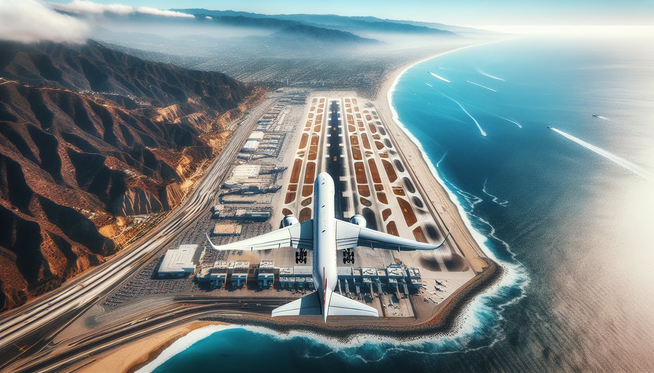
Takeoff from LAX
LEFTDeparting LAX in the typical west-flow pattern, the aircraft climbs out over Santa Monica Bay then banks left to head south toward Polynesia. That turn puts the Southern California coastline on the left side, with the Palos Verdes Peninsula, South Bay beaches, and Catalina Island sliding into view before the plane heads out to sea.
Landing at PPT
LEFTOn the standard runway 04 approach into Faa'a, the aircraft flies northeast over Tahiti's lagoon and barrier reef. The left side faces northwest across the channel toward Moorea, whose jagged volcanic peaks rising from a turquoise lagoon are one of the most recognizable sights in French Polynesia.
Will your flight be in sunlight?
Pick a date and time in the Sun Map to watch the sun move across your whole flight.
About This Route
Which side of the plane should I sit on flying from Los Angeles International (LAX) to Fa'a'ā International Airport (PPT)?
Sit on the Left side of the plane for the best views on flights from Los Angeles to Papeete. The left side captures the two scenic highlights of this flight: the Southern California coastline and Catalina Island during departure, and the dramatic reef, lagoon, and Moorea skyline during arrival into Tahiti, while the right side faces open ocean for both phases.
What can I see during takeoff from Los Angeles International in Los Angeles?
During takeoff from Los Angeles International (LAX), sit on the Left side for the best views. Departing LAX in the typical west-flow pattern, the aircraft climbs out over Santa Monica Bay then banks left to head south toward Polynesia. That turn puts the Southern California coastline on the left side, with the Palos Verdes Peninsula, South Bay beaches, and Catalina Island sliding into view before the plane heads out to sea. Notable sights include: Palos Verdes Peninsula, Santa Monica Bay coastline, Catalina Island, Redondo/Torrance shoreline.
What can I see when landing at Fa'a'ā International Airport in Papeete?
When landing at Fa'a'ā International Airport (PPT), sit on the Left side for the best views. On the standard runway 04 approach into Faa'a, the aircraft flies northeast over Tahiti's lagoon and barrier reef. The left side faces northwest across the channel toward Moorea, whose jagged volcanic peaks rising from a turquoise lagoon are one of the most recognizable sights in French Polynesia. Notable sights include: Moorea's volcanic peaks, Tahiti's barrier reef and lagoon, turquoise reef passes, Papeete coastline.
How long is the flight from Los Angeles to Papeete?
The flight from Los Angeles International (LAX) to Fa'a'ā International Airport (PPT) takes about 8 hours 5 minutes. The shortest flight path between them is 4,108 miles (6,611 km); winds and air traffic control usually add a few percent.
What does the Los Angeles to Papeete flight path pass over?
The route crosses thousands of miles of open Pacific Ocean with no islands visible, passing near the equator roughly midway between Hawaii and the Marquesas before descending toward the Society Islands.