The right side scores higher due to the dramatic Carpathian foothills visible during the cruise and approach phases, plus the scenic transition from mountains to the Danube floodplain. The left side's London departure is visually strong but the subsequent cruise over the English Channel and European plains offers limited terrain variety. The right side's mountain and river features provide greater scenic contrast and landmark density across the full flight.
Flown LCY to BBU? Did we get it right?
Flight Path
London to Bucharest is 1,289 miles (2,075 km), a flight of about 2 hours 45 minutes.
English Channel (narrow crossing), Ardennes plateau in Belgium/France, Rhine valley near Cologne, Meuse River valley, Vosges Mountains (distant, southern horizon), Jura Mountains (distant, southern horizon), Rhine-Main plain, Danube valley approaching Romania, Carpathian foothills in Transylvania
Great circle distance and headings ›


Phase by phase
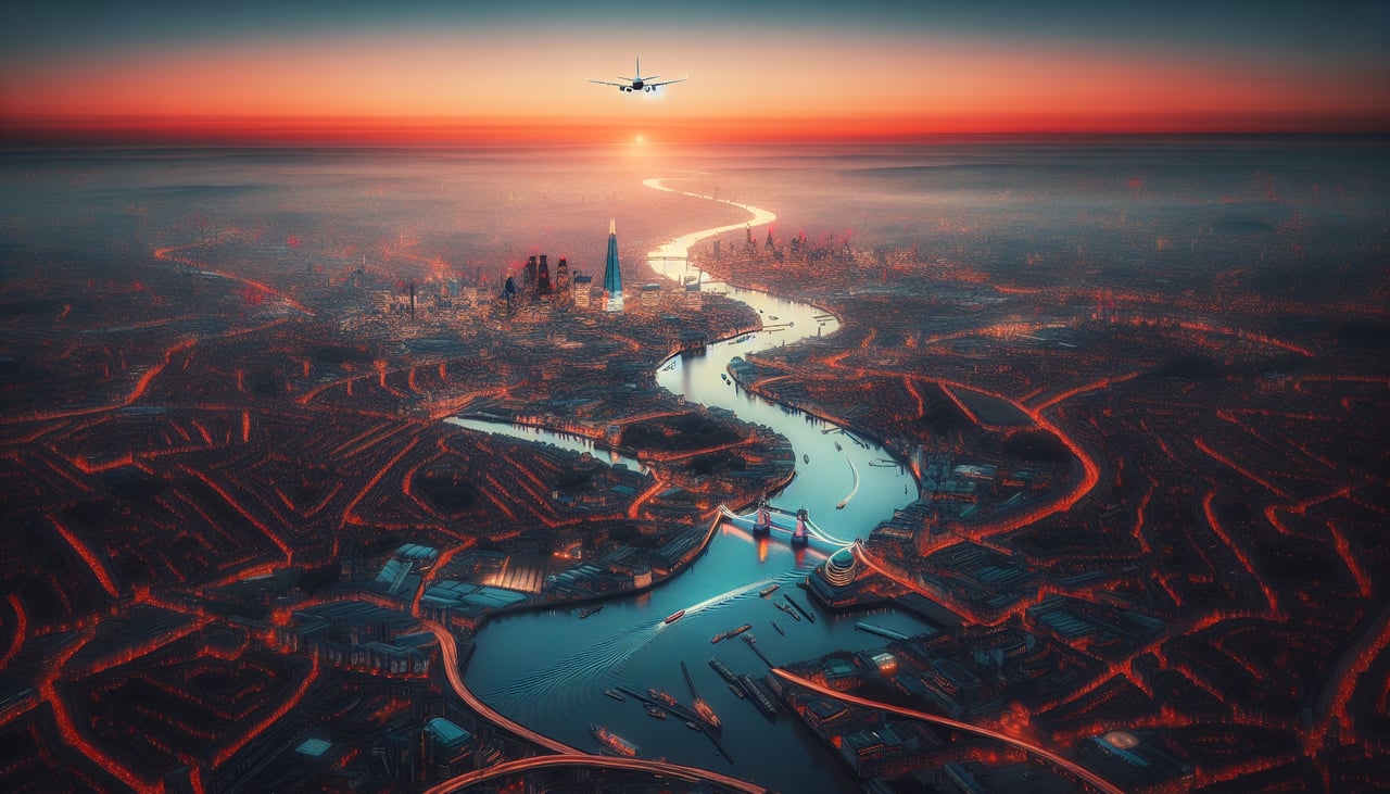
Takeoff from LCY
LEFTLondon City Airport sits on the Thames Peninsula with the City of London skyline visible immediately after departure. The left side captures the Thames estuary, Canary Wharf, and central London's urban density during climb-out.
Landing at BBU
RIGHTThe approach to Bucharest Baneasa from the west crosses the Carpathian foothills and the Wallachian Plain. The right side captures the transition from elevated terrain into the Bucharest metropolitan area, with the Danube's floodplain visible on approach.
Will your flight be in sunlight?
Pick a date and time in the Sun Map to watch the sun move across your whole flight.
About This Route
Which side of the plane should I sit on flying from City (LCY) to Baneasa (BBU)?
Sit on the Right side of the plane for the best views on flights from London to Bucharest. The right side scores higher due to the dramatic Carpathian foothills visible during the cruise and approach phases, plus the scenic transition from mountains to the Danube floodplain. The left side's London departure is visually strong but the subsequent cruise over the English Channel and European plains offers limited terrain variety. The right side's mountain and river features provide greater scenic contrast and landmark density across the full flight.
What can I see during takeoff from City in London?
During takeoff from City (LCY), sit on the Left side for the best views. London City Airport sits on the Thames Peninsula with the City of London skyline visible immediately after departure. The left side captures the Thames estuary, Canary Wharf, and central London's urban density during climb-out. Notable sights include: Thames estuary, Canary Wharf towers, City of London financial district, Greenwich Peninsula.
What can I see when landing at Baneasa in Bucharest?
When landing at Baneasa (BBU), sit on the Right side for the best views. The approach to Bucharest Baneasa from the west crosses the Carpathian foothills and the Wallachian Plain. The right side captures the transition from elevated terrain into the Bucharest metropolitan area, with the Danube's floodplain visible on approach. Notable sights include: Carpathian foothills, Wallachian Plain, Danube floodplain, Bucharest urban sprawl.
How long is the flight from London to Bucharest?
The flight from City (LCY) to Baneasa (BBU) takes about 2 hours 45 minutes. The shortest flight path between them is 1,289 miles (2,075 km); winds and air traffic control usually add a few percent.
What does the London to Bucharest flight path pass over?
English Channel (narrow crossing), Ardennes plateau in Belgium/France, Rhine valley near Cologne, Meuse River valley, Vosges Mountains (distant, southern horizon), Jura Mountains (distant, southern horizon), Rhine-Main plain, Danube valley approaching Romania, Carpathian foothills in Transylvania