Left side scores higher due to the superior takeoff experience from London City Airport with Thames estuary and urban scenery, which outweighs the right side's modest landing views. The landing approach to Pisa is relatively brief and lacks the dramatic alpine or coastal features that would elevate it to 4.0+. The flight path itself crosses the Channel and French/Swiss terrain with moderate interest but no extraordinary peaks or fjords.
Flight Path
English Channel (white cliffs near Dover on left during climb), French coastline near Dieppe, Seine River valley, Paris region (distant, north of track), Burgundy plateau and river valleys, Swiss Jura foothills (distant south), Lake Geneva region (possible on clear days), French Alps (distant southeast), Rhône valley descent into Provence, Mediterranean coast approaching Italy
Great circle distance and headings ›.jpeg?width=600)

_Panoramica_del_centro_della_citt%C3%A0_dal_lago.jpg?width=600)


.jpg?width=600)

_-_24_(50543603956).jpg?width=600)
Phase by phase
Takeoff from LCY
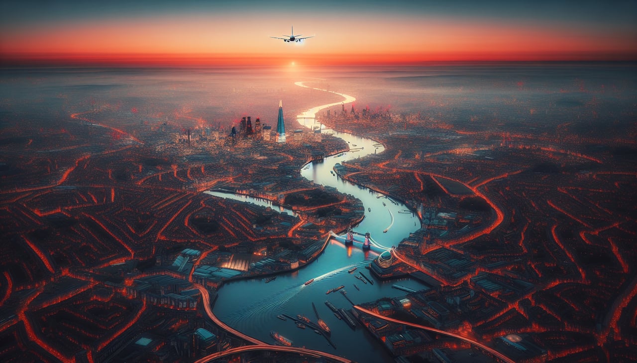
LEFTLeft side captures the Thames estuary, London's urban sprawl, and the Kent coastline during climb-out. Right side faces inland toward the Midlands with minimal dramatic terrain.
Landing at PSA
RIGHTRight side offers the dramatic approach to Pisa with the Apennine Mountains visible inland, the Arno River valley, and the Tuscan landscape. Left side faces the Tyrrhenian Sea with minimal coastal features during descent.
Landmarks on this routeAll landmarks →
Will your flight be in sunlight?
See exactly which side of the plane gets sun and shade at your departure time.
About This Route
Which side of the plane should I sit on flying from City (LCY) to Pisa (PSA)?
Sit on the Left side of the plane for the best views on flights from London to Pisa. Left side scores higher due to the superior takeoff experience from London City Airport with Thames estuary and urban scenery, which outweighs the right side's modest landing views. The landing approach to Pisa is relatively brief and lacks the dramatic alpine or coastal features that would elevate it to 4.0+. The flight path itself crosses the Channel and French/Swiss terrain with moderate interest but no extraordinary peaks or fjords.
What can I see during takeoff from City in London?
During takeoff from City (LCY), sit on the Left side for the best views. Left side captures the Thames estuary, London's urban sprawl, and the Kent coastline during climb-out. Right side faces inland toward the Midlands with minimal dramatic terrain. Notable sights include: Thames estuary and docks, Greater London urban grid, Kent coastline and white cliffs (distant), North Sea horizon.
What can I see when landing at Pisa in Pisa?
When landing at Pisa (PSA), sit on the Right side for the best views. Right side offers the dramatic approach to Pisa with the Apennine Mountains visible inland, the Arno River valley, and the Tuscan landscape. Left side faces the Tyrrhenian Sea with minimal coastal features during descent. Notable sights include: Apennine Mountains (south and east), Arno River valley, Tuscan hills and agricultural patchwork, Pisa city and airport.
How long is the flight from London to Pisa?
The flight from City (LCY) to Pisa (PSA) takes 2h 15m.
What does the London to Pisa flight path pass over?
English Channel (white cliffs near Dover on left during climb), French coastline near Dieppe, Seine River valley, Paris region (distant, north of track), Burgundy plateau and river valleys, Swiss Jura foothills (distant south), Lake Geneva region (possible on clear days), French Alps (distant southeast), Rhône valley descent into Provence, Mediterranean coast approaching Italy