Left side scores higher due to superior takeoff scenery (Thames estuary and London skyline) and dramatically superior landing approach (Tromsøysund fjord and Arctic mountains). Right side offers only open ocean and tundra with minimal landmark definition. The left side captures both urban and alpine drama across the full flight.
Flown LCY to TOS? Did we get it right?
Flight Path
London to Tromso is 1,396 miles (2,246 km), a flight of about 3 hours 15 minutes.
North Sea crossing (open water, minimal features), Norwegian coastline near Stavanger with fjords and rocky islands, transition from southern Norway's forested terrain to Arctic tundra and mountains north of the Arctic Circle, Lofoten Islands visible if flight path passes eastward, final approach through Tromsø's island-fjord complex
Great circle distance and headings ›


Phase by phase
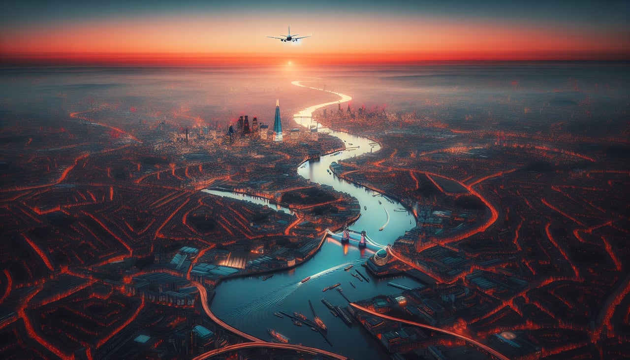
Takeoff from LCY
LEFTLeft side captures the Thames estuary, London's urban sprawl, and the Kent coastline during climb-out. Right side shows inland Essex and Suffolk flatlands with minimal visual interest.
Landing at TOS
LEFTLeft side reveals Tromsø's dramatic fjord setting, the Tromsøysund strait, and surrounding Arctic mountains during descent. Right side shows open Barents Sea and tundra with less visual definition.
Will your flight be in sunlight?
Pick a date and time in the Sun Map to watch the sun move across your whole flight.
About This Route
Which side of the plane should I sit on flying from City (LCY) to Tromso (TOS)?
Sit on the Left side of the plane for the best views on flights from London to Tromso. Left side scores higher due to superior takeoff scenery (Thames estuary and London skyline) and dramatically superior landing approach (Tromsøysund fjord and Arctic mountains). Right side offers only open ocean and tundra with minimal landmark definition. The left side captures both urban and alpine drama across the full flight.
What can I see during takeoff from City in London?
During takeoff from City (LCY), sit on the Left side for the best views. Left side captures the Thames estuary, London's urban sprawl, and the Kent coastline during climb-out. Right side shows inland Essex and Suffolk flatlands with minimal visual interest. Notable sights include: Thames estuary with Canary Wharf and City of London skyline, Kent coastline near Margate, North Sea horizon.
What can I see when landing at Tromso in Tromso?
When landing at Tromso (TOS), sit on the Left side for the best views. Left side reveals Tromsø's dramatic fjord setting, the Tromsøysund strait, and surrounding Arctic mountains during descent. Right side shows open Barents Sea and tundra with less visual definition. Notable sights include: Tromsøysund strait separating Tromsøya island from mainland, Arctic mountain peaks (Tromsdalstinden visible), Tromsø city lights and harbor, Balsfjorden to the south.
How long is the flight from London to Tromso?
The flight from City (LCY) to Tromso (TOS) takes about 3 hours 15 minutes. The shortest flight path between them is 1,396 miles (2,246 km); winds and air traffic control usually add a few percent.
What does the London to Tromso flight path pass over?
North Sea crossing (open water, minimal features), Norwegian coastline near Stavanger with fjords and rocky islands, transition from southern Norway's forested terrain to Arctic tundra and mountains north of the Arctic Circle, Lofoten Islands visible if flight path passes eastward, final approach through Tromsø's island-fjord complex