While takeoff offers Thames estuary views, the landing approach over Pichincha volcano and the Andean highlands is far more visually dramatic and geographically significant. Left seats capture the defining geography of Ecuador's capital approach.
Flight Path
Flight path crosses the Atlantic over the Bay of Biscay and Iberian Peninsula, then over North Africa (Atlas Mountains visible from altitude), across the Sahara, over West Africa, and the Atlantic again before reaching South America. The Amazon Basin becomes visible approaching Ecuador. Most dramatic midpoint feature: the Atlas Mountains (Morocco/Algeria border) visible as a distinct ridge during the European-to-African transition, roughly 4-5 hours into flight.
Great circle distance and headings ›.jpeg?width=600)


Phase by phase
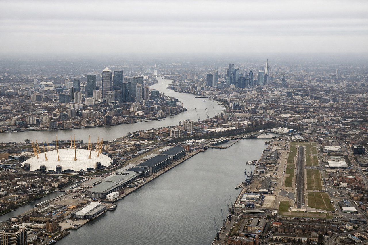
Takeoff from LCY
RIGHTLCY typically departs eastbound (Runway 27 is primary, but 09 is used for eastbound ops). Right-side seats capture the Thames estuary, Greenwich Peninsula, and the North Sea approach. Left side shows only suburban London and industrial areas.
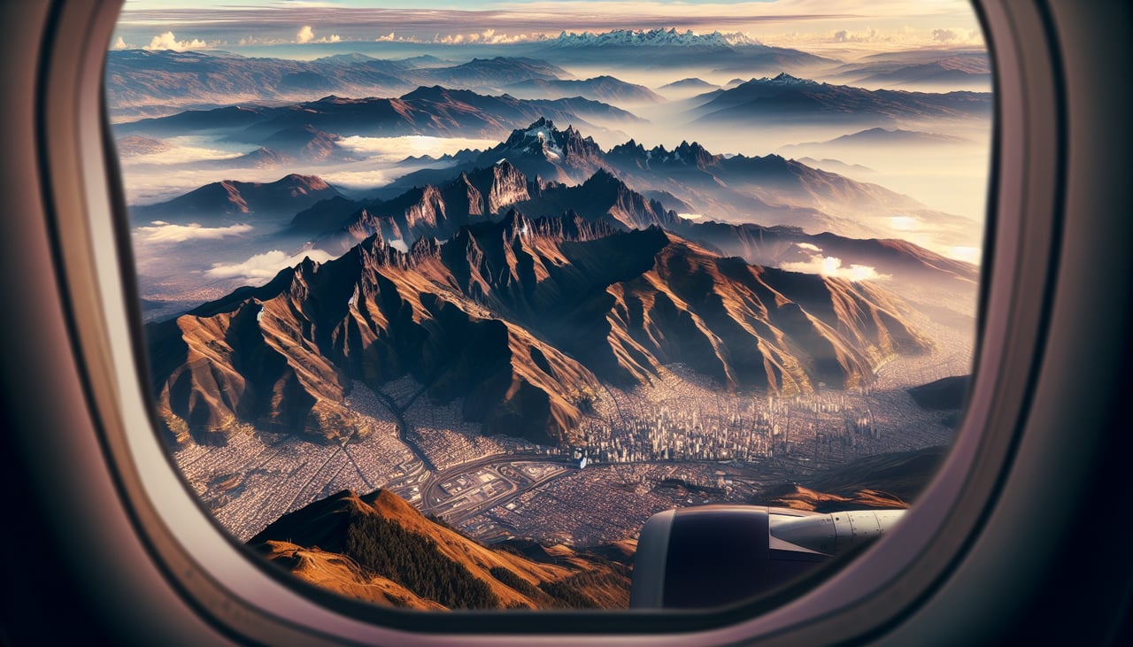
Landing at UIO
LEFTApproach to UIO comes from the north over the Andean highlands. Left-side seats face west toward the Western Cordillera and Pichincha volcano (3,776m), which dominates the approach. Right side shows only the eastern slopes and less dramatic terrain.
Landmarks on this routeAll landmarks →
Will your flight be in sunlight?
See exactly which side of the plane gets sun and shade at your departure time.
About This Route
Which side of the plane should I sit on flying from City (LCY) to Mariscal Sucre International Airport (UIO)?
Sit on the Left side of the plane for the best views on flights from London to Quito. While takeoff offers Thames estuary views, the landing approach over Pichincha volcano and the Andean highlands is far more visually dramatic and geographically significant. Left seats capture the defining geography of Ecuador's capital approach.
What can I see during takeoff from City in London?
During takeoff from City (LCY), sit on the Right side for the best views. LCY typically departs eastbound (Runway 27 is primary, but 09 is used for eastbound ops). Right-side seats capture the Thames estuary, Greenwich Peninsula, and the North Sea approach. Left side shows only suburban London and industrial areas. Notable sights include: Thames Estuary (immediate foreground), Greenwich Peninsula with Millennium Dome (right side), North Sea horizon, Kent marshlands (right distance).
What can I see when landing at Mariscal Sucre International Airport in Quito?
When landing at Mariscal Sucre International Airport (UIO), sit on the Left side for the best views. Approach to UIO comes from the north over the Andean highlands. Left-side seats face west toward the Western Cordillera and Pichincha volcano (3,776m), which dominates the approach. Right side shows only the eastern slopes and less dramatic terrain. Notable sights include: Pichincha volcano (left, snow-capped peak), Western Cordillera ridge line, Quito city sprawl in the inter-Andean valley, Cotopaxi volcano (distant, right horizon).
How long is the flight from London to Quito?
The flight from City (LCY) to Mariscal Sucre International Airport (UIO) takes Approximately 9 hours 15 minutes.
What does the London to Quito flight path pass over?
Flight path crosses the Atlantic over the Bay of Biscay and Iberian Peninsula, then over North Africa (Atlas Mountains visible from altitude), across the Sahara, over West Africa, and the Atlantic again before reaching South America. The Amazon Basin becomes visible approaching Ecuador. Most dramatic midpoint feature: the Atlas Mountains (Morocco/Algeria border) visible as a distinct ridge during the European-to-African transition, roughly 4-5 hours into flight.