The takeoff view from the right side—the Pyrenees in dramatic relief during climb-out—is more visually distinctive and geographically significant than the landing approach. The landing left-side view is pleasant but less dramatic; the takeoff right-side view is genuinely spectacular.
Flight Path
The flight path crosses the Bay of Biscay at roughly 45°N, then enters the English Channel near the Normandy coast. At cruise altitude (around 25,000-30,000 feet), the Channel Islands (Guernsey, Jersey) may be visible as small specks if weather permits. The Cotentin Peninsula and Normandy coastline appear as a thin line of land separating sea from inland terrain. Over southern England, the Cotswolds and Chiltern Hills create subtle topographic texture. The Thames estuary becomes visible in the final descent phase.
Great circle distance and headings ›
.jpeg?width=600)
Phase by phase
Takeoff from LDE
RIGHTLourdes-Tarbes typically departs runway 24 (westbound). Right-side seats face north during initial climb, giving direct views of the Pyrenees' northern escarpment and the Gave de Pau valley. Left seats see only inland plains.
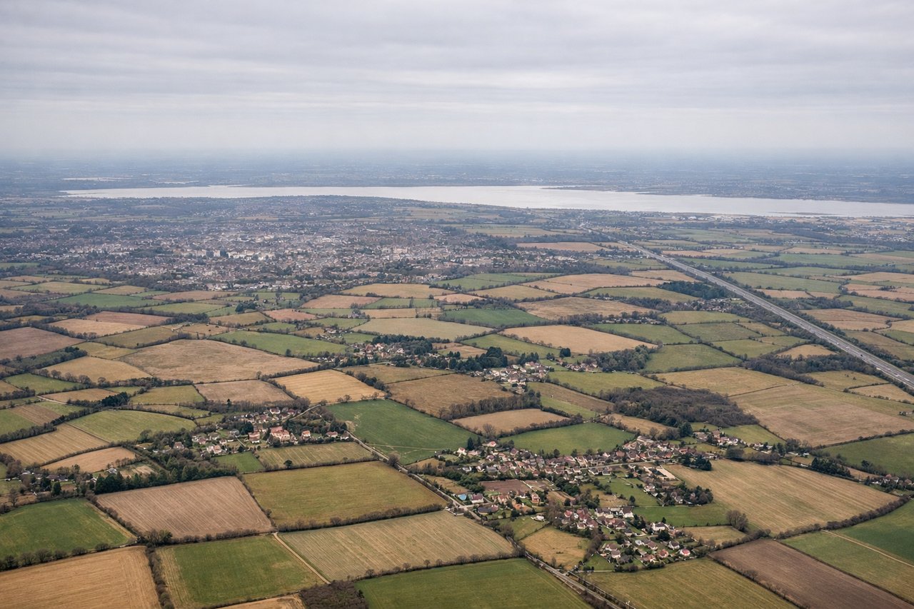
Landing at STN
LEFTStansted typically uses runway 04 (northeast approach). Left-side seats face southeast during descent, offering views of the Essex countryside, the River Lea valley, and the approach corridor over Harlow and the Home Counties. Right seats see only inland Essex farmland.
Landmarks on this routeAll landmarks →
Will your flight be in sunlight?
See exactly which side of the plane gets sun and shade at your departure time.
About This Route
Which side of the plane should I sit on flying from Lourdes (LDE) to Stansted (STN)?
Sit on the Right side of the plane for the best views on flights from Tarbes to London. The takeoff view from the right side—the Pyrenees in dramatic relief during climb-out—is more visually distinctive and geographically significant than the landing approach. The landing left-side view is pleasant but less dramatic; the takeoff right-side view is genuinely spectacular.
What can I see during takeoff from Lourdes in Tarbes?
During takeoff from Lourdes (LDE), sit on the Right side for the best views. Lourdes-Tarbes typically departs runway 24 (westbound). Right-side seats face north during initial climb, giving direct views of the Pyrenees' northern escarpment and the Gave de Pau valley. Left seats see only inland plains. Notable sights include: Pyrenees Mountains (immediate backdrop, 5-10 km south), Tarbes city grid (directly below during climb-out), Gave de Pau river valley (winding northward), foothills of Bigorre region.
What can I see when landing at Stansted in London?
When landing at Stansted (STN), sit on the Left side for the best views. Stansted typically uses runway 04 (northeast approach). Left-side seats face southeast during descent, offering views of the Essex countryside, the River Lea valley, and the approach corridor over Harlow and the Home Counties. Right seats see only inland Essex farmland. Notable sights include: River Lea valley (winding south toward London), Harlow new town (geometric grid visible), Essex farmland and woodland patches, North Weald airfield (small but distinctive runway pattern).
How long is the flight from Tarbes to London?
The flight from Lourdes (LDE) to Stansted (STN) takes Approximately 2 hours 15 minutes.
What does the Tarbes to London flight path pass over?
The flight path crosses the Bay of Biscay at roughly 45°N, then enters the English Channel near the Normandy coast. At cruise altitude (around 25,000-30,000 feet), the Channel Islands (Guernsey, Jersey) may be visible as small specks if weather permits. The Cotentin Peninsula and Normandy coastline appear as a thin line of land separating sea from inland terrain. Over southern England, the Cotswolds and Chiltern Hills create subtle topographic texture. The Thames estuary becomes visible in the final descent phase.