The right side is the overall winner. During the long overwater Pacific cruise there is little to see from either side, but the right side picks up the California coastline on approach and delivers the definitive San Francisco Bay arrival view — downtown skyline, Bay Bridge, and Alcatraz — which outweighs the Lima departure advantage on the left.
Flown LIM to SFO? Did we get it right?
Flight Path
Lima to San Francisco is 4,511 miles (7,259 km), a flight of about 9 hours.
The flight tracks northwest over the Pacific Ocean, crossing the Equator roughly 2-3 hours after departure. The route passes well west of Central America and Mexico with no significant landmasses visible. The Galapagos Islands (Ecuador) may be distantly visible to the left around 1-2 hours into the flight if routing passes nearby. The California coast — Baja California and then the California coastline near Point Conception — becomes visible on the right side roughly 1.5 hours before landing as the aircraft descends toward the Bay Area.
Great circle distance and headings ›

Phase by phase
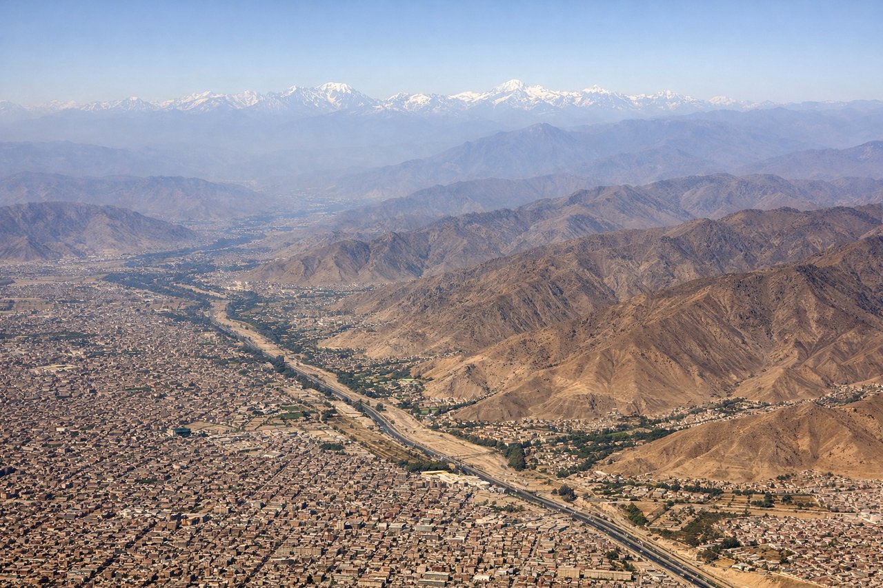
Takeoff from LIM
LEFTJorge Chavez primarily uses runway 15/33. On a northbound departure climbing out over the Pacific, the left (west) side gives you the Lima coastline and the Pacific Ocean, while the right side faces inland toward the Andes. However, on runway 33 departure heading northwest, the left side briefly captures the dense urban sprawl of Lima and Callao port before the aircraft banks. The Andes are visible to the east from either side during climb, but the dramatic coastal cliffs and the Pacific are the more striking immediate view on the left.

Landing at SFO
RIGHTOn the standard ILS approach to runways 28L/28R from the east, the right (north) side of the aircraft looks directly toward downtown San Francisco, the Bay Bridge, and the Marin Headlands. The left side faces the southern Bay and Peninsula, which is less visually dramatic. The right seat gives you the classic San Francisco Bay panorama as you descend over the water.
Will your flight be in sunlight?
Pick a date and time in the Sun Map to watch the sun move across your whole flight.
About This Route
Which side of the plane should I sit on flying from Jorge Chávez International Airport (LIM) to San Francisco International (SFO)?
Sit on the Right side of the plane for the best views on flights from Lima to San Francisco. The right side is the overall winner. During the long overwater Pacific cruise there is little to see from either side, but the right side picks up the California coastline on approach and delivers the definitive San Francisco Bay arrival view — downtown skyline, Bay Bridge, and Alcatraz — which outweighs the Lima departure advantage on the left.
What can I see during takeoff from Jorge Chávez International Airport in Lima?
During takeoff from Jorge Chávez International Airport (LIM), sit on the Left side for the best views. Jorge Chavez primarily uses runway 15/33. On a northbound departure climbing out over the Pacific, the left (west) side gives you the Lima coastline and the Pacific Ocean, while the right side faces inland toward the Andes. However, on runway 33 departure heading northwest, the left side briefly captures the dense urban sprawl of Lima and Callao port before the aircraft banks. The Andes are visible to the east from either side during climb, but the dramatic coastal cliffs and the Pacific are the more striking immediate view on the left. Notable sights include: Callao port and harbor, Lima coastal cliffs (Costa Verde), Pacific Ocean stretching west, Miraflores and Barranco district coastline to the south.
What can I see when landing at San Francisco International in San Francisco?
When landing at San Francisco International (SFO), sit on the Right side for the best views. On the standard ILS approach to runways 28L/28R from the east, the right (north) side of the aircraft looks directly toward downtown San Francisco, the Bay Bridge, and the Marin Headlands. The left side faces the southern Bay and Peninsula, which is less visually dramatic. The right seat gives you the classic San Francisco Bay panorama as you descend over the water. Notable sights include: San Francisco downtown skyline, Bay Bridge (eastern and western spans), Alcatraz Island, Marin Headlands and Golden Gate Bridge in the distance.
How long is the flight from Lima to San Francisco?
The flight from Jorge Chávez International Airport (LIM) to San Francisco International (SFO) takes about 9 hours. The shortest flight path between them is 4,511 miles (7,259 km); winds and air traffic control usually add a few percent.
What does the Lima to San Francisco flight path pass over?
The flight tracks northwest over the Pacific Ocean, crossing the Equator roughly 2-3 hours after departure. The route passes well west of Central America and Mexico with no significant landmasses visible. The Galapagos Islands (Ecuador) may be distantly visible to the left around 1-2 hours into the flight if routing passes nearby. The California coast — Baja California and then the California coastline near Point Conception — becomes visible on the right side roughly 1.5 hours before landing as the aircraft descends toward the Bay Area.