Left side wins at both ends of the flight. The Andes departure view is one of the most dramatic in South America, and the Atlanta approach from the south gives the left side the downtown skyline and Stone Mountain. Over the Caribbean and Gulf of Mexico cruise phase, neither side has a strong advantage.
Flight Path
After climbing over the Andes, the route crosses the Amazon basin lowlands of Peru and Colombia — a vast flat green canopy with almost no visible landmarks at cruise altitude. The route then crosses the Caribbean Sea north of Colombia and Venezuela, with occasional island groups like the Lesser Antilles visible as small dots. Over Cuba and the Yucatan Channel there may be glimpses of coastline. The Gulf of Mexico crossing is featureless open water before the Florida panhandle or Gulf Coast of the US comes into view, followed by Georgia's pine forests and red-clay piedmont terrain on descent.
Great circle distance and headings ›.jpg?width=600)
.jpg?width=600)


.jpeg?width=600)
Phase by phase
Takeoff from LIM
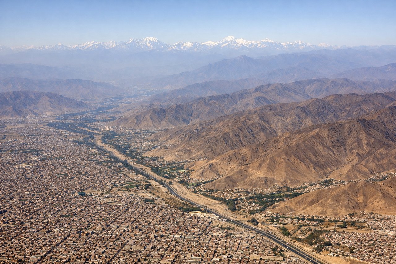
LEFTJorge Chavez typically departs runway 15 heading southeast, then aircraft turn north. The left side faces east toward the Andes, giving a direct view of the dramatic rise from the coastal desert to the high Cordillera Blanca and Cordillera Occidental. The right side looks west over the Pacific Ocean and Lima's coastal sprawl, which is less dramatic.

Landing at ATL
LEFTAtlanta's primary arrival runways from the south (8L/8R or 9L/9R approaches from the west) or from the north put the left side facing south over the dense Atlanta metro and Hartsfield itself on final. However, arriving from the south on runway 26L/26R, the left side looks north over downtown Atlanta's skyline, Stone Mountain to the northeast, and the Chattahoochee River. This is the more visually rewarding side.
Landmarks on this routeAll landmarks →
Will your flight be in sunlight?
See exactly which side of the plane gets sun and shade at your departure time.
About This Route
Which side of the plane should I sit on flying from Jorge Chávez International Airport (LIM) to The William B Hartsfield Atlanta International (ATL)?
Sit on the Left side of the plane for the best views on flights from Lima to Atlanta. Left side wins at both ends of the flight. The Andes departure view is one of the most dramatic in South America, and the Atlanta approach from the south gives the left side the downtown skyline and Stone Mountain. Over the Caribbean and Gulf of Mexico cruise phase, neither side has a strong advantage.
What can I see during takeoff from Jorge Chávez International Airport in Lima?
During takeoff from Jorge Chávez International Airport (LIM), sit on the Left side for the best views. Jorge Chavez typically departs runway 15 heading southeast, then aircraft turn north. The left side faces east toward the Andes, giving a direct view of the dramatic rise from the coastal desert to the high Cordillera Blanca and Cordillera Occidental. The right side looks west over the Pacific Ocean and Lima's coastal sprawl, which is less dramatic. Notable sights include: Cordillera Occidental peaks rising to 5,000m+ east of Lima, the brown coastal desert plain of La Molina and Ate districts, the Rio Rimac valley cutting into the Andes, Lima's dense urban grid stretching south along the coast.
What can I see when landing at The William B Hartsfield Atlanta International in Atlanta?
When landing at The William B Hartsfield Atlanta International (ATL), sit on the Left side for the best views. Atlanta's primary arrival runways from the south (8L/8R or 9L/9R approaches from the west) or from the north put the left side facing south over the dense Atlanta metro and Hartsfield itself on final. However, arriving from the south on runway 26L/26R, the left side looks north over downtown Atlanta's skyline, Stone Mountain to the northeast, and the Chattahoochee River. This is the more visually rewarding side. Notable sights include: Downtown Atlanta skyline visible to the north on approach, Stone Mountain's granite dome approximately 16 miles northeast of the airport, Chattahoochee River winding northwest of the airport, Lake Lanier visible as a large reservoir on the horizon to the north-northeast.
How long is the flight from Lima to Atlanta?
The flight from Jorge Chávez International Airport (LIM) to The William B Hartsfield Atlanta International (ATL) takes Approximately 7 hours 30 minutes to 8 hours 30 minutes nonstop.
What does the Lima to Atlanta flight path pass over?
After climbing over the Andes, the route crosses the Amazon basin lowlands of Peru and Colombia — a vast flat green canopy with almost no visible landmarks at cruise altitude. The route then crosses the Caribbean Sea north of Colombia and Venezuela, with occasional island groups like the Lesser Antilles visible as small dots. Over Cuba and the Yucatan Channel there may be glimpses of coastline. The Gulf of Mexico crossing is featureless open water before the Florida panhandle or Gulf Coast of the US comes into view, followed by Georgia's pine forests and red-clay piedmont terrain on descent.